ME Plus, RUIDE SLAM RTK PERFORMING CONTACTLESS MEASUREMENT (AirMeas)
Автор: RUIDE
Загружено: 2025-10-30
Просмотров: 342
Описание:
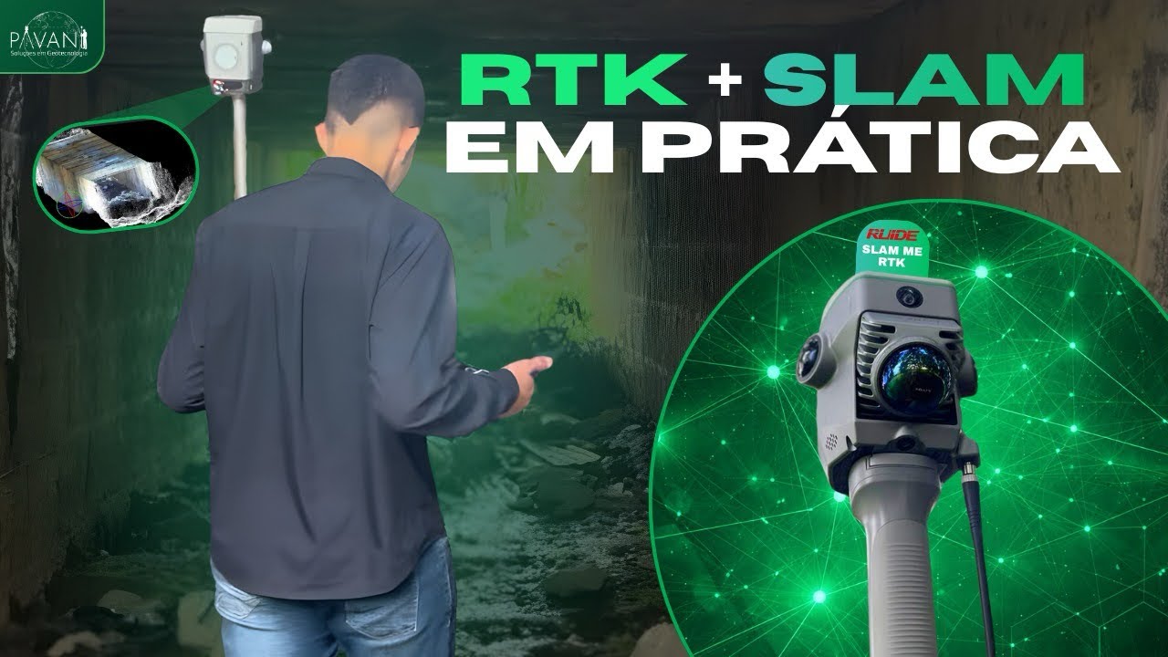
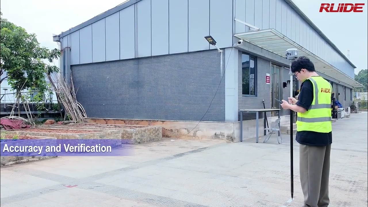
Easily achieve real-time, true-color point cloud mapping with RUIDE ME Plus.
It integrates GNSS RTK and SLAM LiDAR technology, combining the advantages of both surveying methods while streamlining field data collection.
It creates georeferenced point clouds directly on-site, enabling users to verify the completeness of data collection in real time.
Further more, it eliminates the need for traditional loop closure, significantly reducing project completion time and reducing the physical burden on surveyors.
See how it performs Non-contact Measurement from the video below.
Follow ME for more information:
https://www.ruideinstrument.com/en/pr...
#RUIDE #LiDAR #GNSS #SLAM #RTK #AirMeas #ME
Повторяем попытку...
Доступные форматы для скачивания:
Скачать видео
-
Информация по загрузке: