Fareham Walk: Town Centre【4K】
Автор: 4K Explorer
Загружено: 2022-08-18
Просмотров: 2679
Описание:
Located in the county of Hampshire, and roughly halfway between Southampton and Portsmouth, is the town of Fareham.
Fareham is mentioned in the Domesday Book of 1086 as 'Ferneham', meaning village/homestead by the ferns.
By the 12th century, Fareham had become a market town. During the medieval era, a port was established here. Wine, coal, corn and salt, among other commodities, were imported here, whilst locally made timber, leather, bricks and pottery were exported.
During the 18th century, shipbuilding was at its peak in Fareham. In addition to this, it had become a popular location for naval officers to live being in close proximity to Portsmouth, but away from the hustle and bustle of Portsmouth's dockyard. This is reflected in Fareham's architecture with its various elegant Georgian buildings.
In 1841 the railway arrived in Fareham courtesy of the London and South Western Railway. Originally this linked up Fareham to Gosport until the latter lost its rail connection in 1953. Today Fareham station is situated on the West Coastway Line which runs between Brighton and Southampton.
During the 19th century, tanning, brickmaking and brick exporting were thriving industries in the town. It became known for its production of 'Fareham Reds' - a type of brick that was produced here, much of which was used to construct the Royal Albert Hall.
By the early 20th century the creek where Fareham's port was based had started to silt up. This brought about the decline of the port. Its brickmaking and tanning industries also went into decline shortly afterwards. In spite of this, the town is a popular location for visitors with both Portsmouth and Southampton in the vicinity. Closer still is the old Roman fort of Portchester just a few miles to the east, along with its medieval castle.
👇 SUBSCRIBE TO 4K EXPLORER FOR NEW VIDEOS EVERY WEEK 👇
https://www.youtube.com/4KExplorer?su...
Filmed: 17th June 2022
Link to the walk on Google Maps: https://goo.gl/maps/LHbUnwWT2YPmCT9M9 (ignore the weird deviation up Trinity Street and down Osborn Road South. That never happened - just another glitch at Google's end as they refuse to plot a straight line down West Street for some reason!)
Filmed on a Sony FDR-AX700 with a Zhiyun Crane 2 and a Sony ECM-XYST1M Stereo Microphone.
TIMESTAMPS:
0:00 West Street
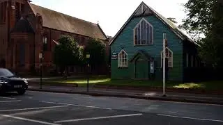
2:08 Holy Trinity Church
2:16 West Street
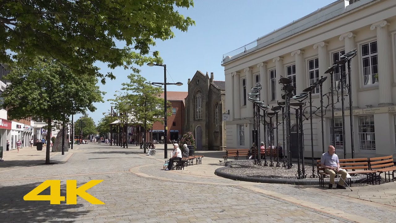
9:41 High Street
Повторяем попытку...
Доступные форматы для скачивания:
Скачать видео
-
Информация по загрузке: