Topographic surveying in the field: Capturing all of downtown LA with NavVis VLX
Автор: NavVis
Загружено: 2024-04-15
Просмотров: 364
Описание:
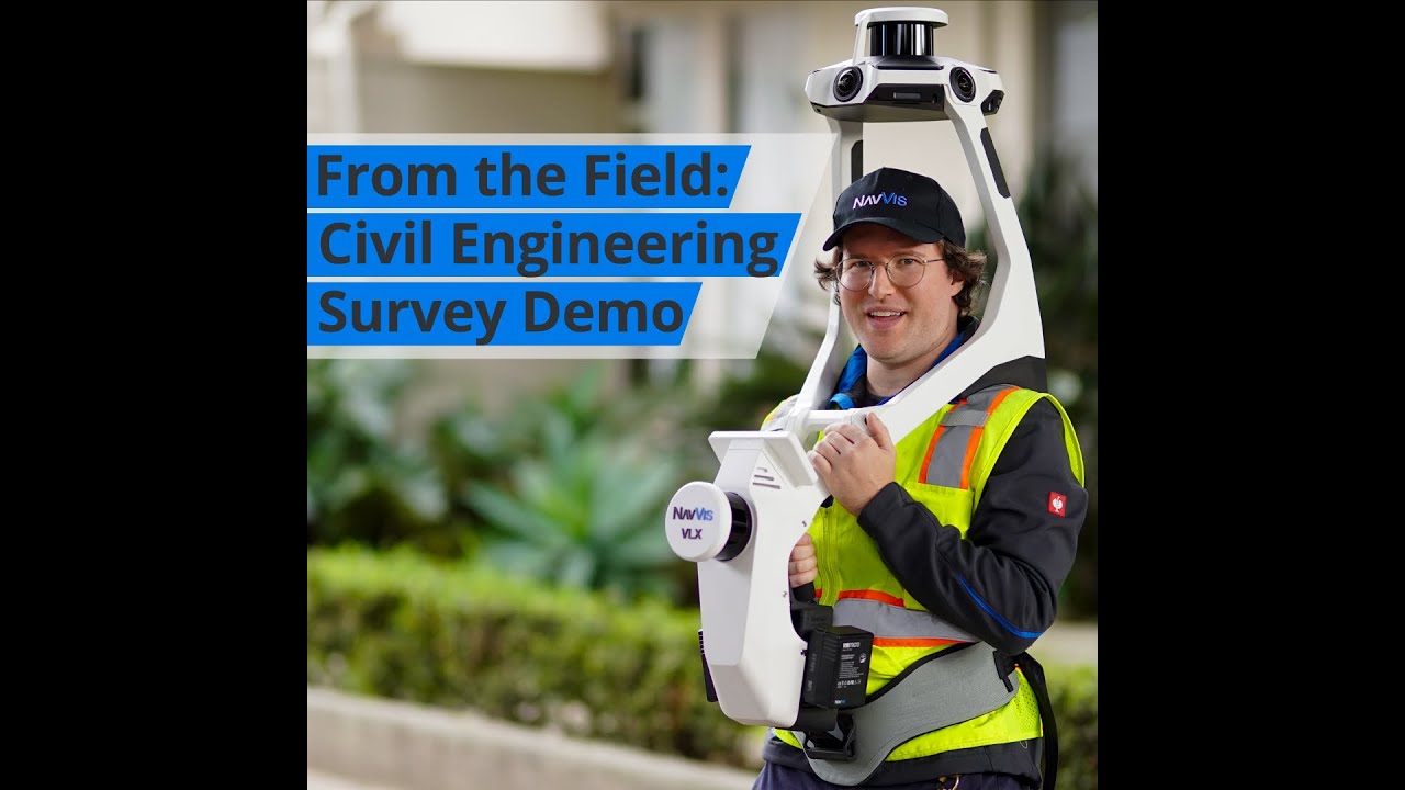
Revolutionize your scanning capabilities, one city block at a time! 🏙️
Recently, a leading surveying firm faced the task of needing to capture virtually all of downtown LA and #NavVisVLX was one of the tools of choice.
Achieving unparalleled accuracy (less than 2.5 mm residuals) and cutting down time drastically (20 mins vs. a day), this project sets a new industry standard in wearable mobile mapping. Blending speed, precision, and cost-effectiveness, NavVis VLX is reshaping #topographic surveying as we know it.
Learn more about the benefits of SLAM scanning in topographic applications in our brand new guide and find out how to take your workflow to the next level ➡️ https://navv.is/4964bBF
#BuildBetterReality #Surveying #laserscanning
________________
BUILD BETTER REALITY — Bridge the gap between the physical and digital worlds through reality capture technology that provides the digital foundation for the world you want to live in. We supply fast, reliable spatial data to service providers and enterprises seeking to capture photorealistic digital twins of the built environment. And our digital factory solutions enable greater organizational operability, productivity, agility, and profitability. Headquartered in Munich, Germany, and with offices in the United States, the United Kingdom, and China, NavVis serves global customers across the surveying, AEC, and manufacturing industries. Learn more at www.navvis.com.
Повторяем попытку...
Доступные форматы для скачивания:
Скачать видео
-
Информация по загрузке: