Скачать
2022 - Making Maps of 2020 US Census Data in R
Автор: SSDAN
Загружено: 2025-02-20
Просмотров: 68
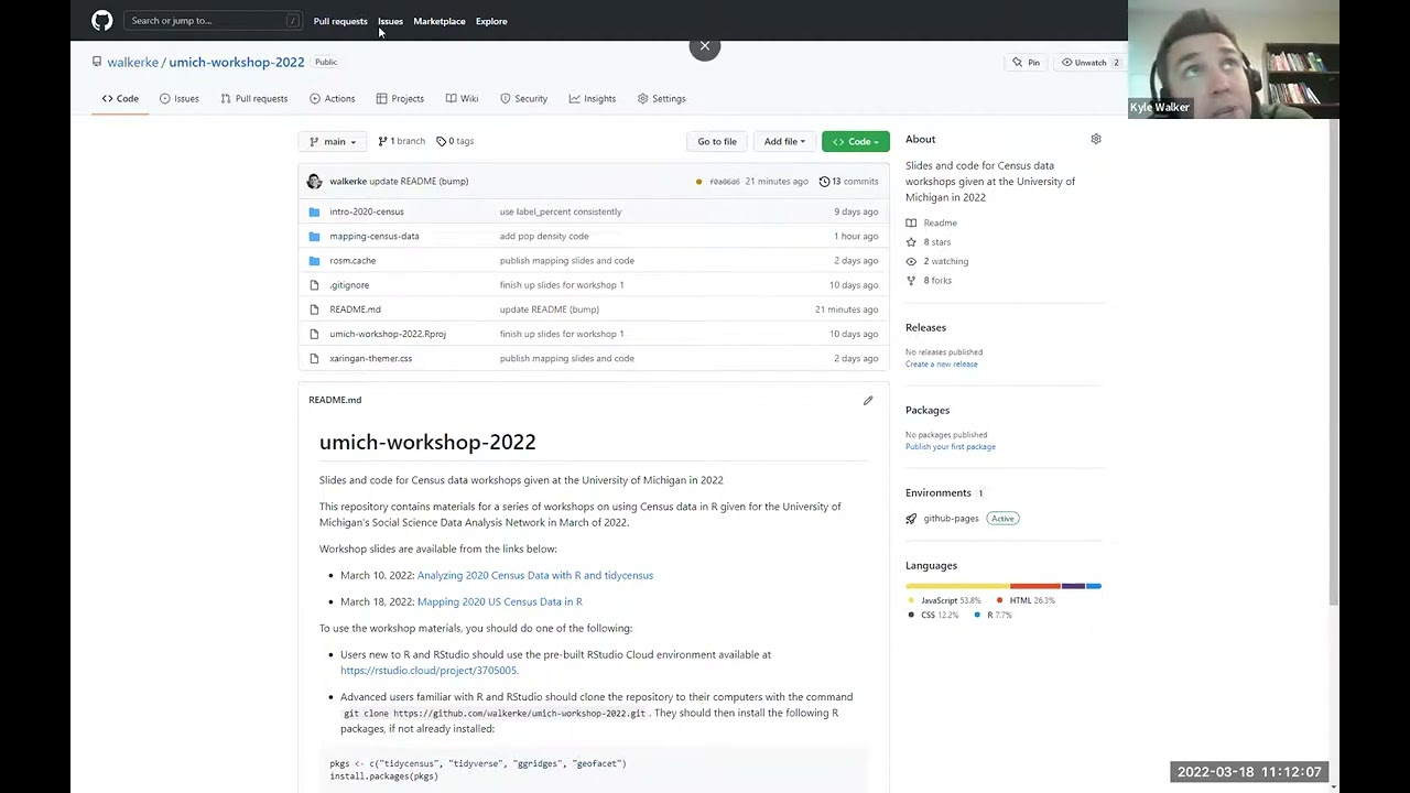
Описание: This workshop will introduce participants to tools for spatial data analysis and GIS in R with applied examples using 2020 Decennial Census data. Participants will learn how to perform common GIS tasks in R and make both static and interactive maps with the 2020 Census. The workshop will cover R’s sf package for spatial data; the tigris and tidycensus packages for Census geographic data; and mapping with tools like ggplot2, Leaflet, and Mapbox. No prior experience with R’s spatial tools is required for this workshop - the only requirement is a curiosity about maps and spatial data!
Не удается загрузить Youtube-плеер. Проверьте блокировку Youtube в вашей сети.
Повторяем попытку...
Повторяем попытку...
Доступные форматы для скачивания:
Скачать видео
-
Информация по загрузке:
![Как сжимаются изображения? [46 МБ ↘↘ 4,07 МБ] JPEG в деталях](https://image.4k-video.ru/id-video/Kv1Hiv3ox8I)