Mastering GeoServer WPS: Automate Spatial Analysis Like a Pro!
Автор: GeoSpatial Techno
Загружено: 2025-06-11
Просмотров: 725
Описание:
❌ Mastering GeoServer: Process Chaining Made Easy!
✔ GeoServer's Web Processing Service (WPS) empowers users to automate complex spatial analyses through process chaining. This feature allows multiple geospatial operations to be executed sequentially, improving efficiency and enhancing GIS workflows.
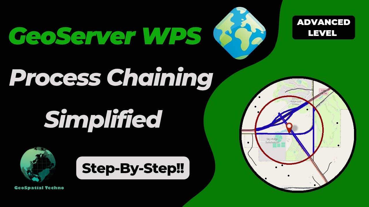
✔ In this video, we’ll explore essential 'Process Chaining' techniques in GeoServer, including querying, buffering, and intersecting analysis. Our example will demonstrate how to identify 'Roads within 1km of a Prairie Site' using chained processes.
✔ With clear instructions, real-world examples, and practical insights, this video will help you streamline geospatial data processing. By the end, you’ll confidently apply 'GeoServer WPS Process Chaining' to optimize your GIS projects.
✔ Join us on this journey to unlock the full potential of GeoServer WPS!
The items that mentioned in this video:
0:00 - Getting Started with Postman
3:34 - Using WPS Subprocess in GeoServer
4:10 - Process Chaining: Query Analysis in GeoServer
6:06 - Process Chaining: Buffer Zones in GeoServer
8:02 - Process Chaining: Intersect layers in GeoServer
Contact us:
[email protected]
/ geospatialtechno
/ geospatialtechn
#geoserver #spatialanalysis #wps
Повторяем попытку...
Доступные форматы для скачивания:
Скачать видео
-
Информация по загрузке: