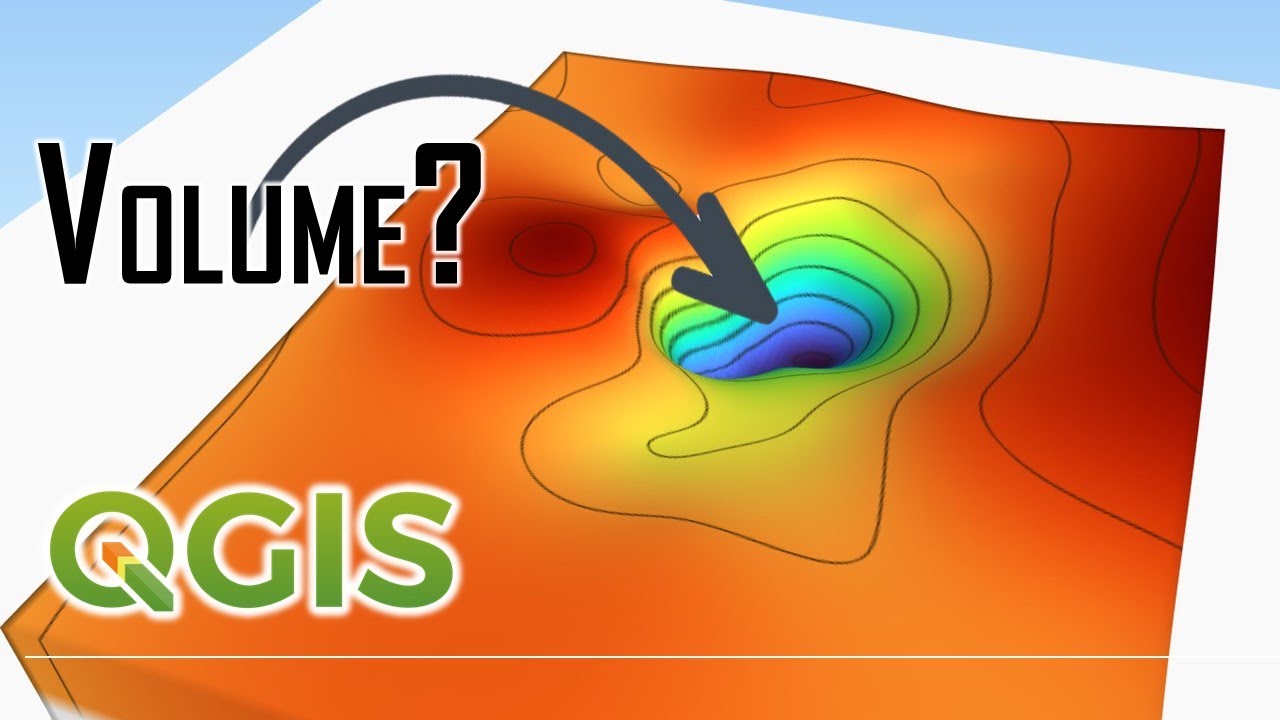
QGISHydro Webinar 7: Map Design
Автор: Hans van der Kwast
Загружено: 2020-05-02
Просмотров: 14656
Описание:
In this series of 7 free webinars during the Corona Crisis, Kurt Menke and Hans van der Kwast demonstrate the 7 chapters of the book QGIS for Hydrological Applications - Recipes for Catchment Hydrology and Water Management.
In this 7th webinar we demonstrate how to design a beautiful catchment map. In this webinar we had a special guest: Nyall Dawson (North Road Consulting), who's a QGIS core developer. He shows us some nice new styling and Print Layout features!
Go to http://loc8.cc/qgishydro for more info and background materials.
The book is available at http://locatepress.com/hyd
By purchasing the book you support the attendance of students at FOSS4G and QGIS events.
(c) OpenStreetMap Contributors
0:00 Start of QGISHydro Webinar 7
5:29 Introduction Map Design demo
8:19 Start demo Map Design by Kurt Menke
16:19 Set up Print Layout
21:42 Add a legend to the Print Layout
25:04 Add a scale bar to the Print Layout
26:22 Add a north arrow to the Print Layout
35:30 Add a locator map
44:47 Add a continuous raster legend (ramp)
52:16 Q & A
57:20 Demo by Nyall Dawson
1:23:48 Shameless plugs
Повторяем попытку...

Доступные форматы для скачивания:
Скачать видео
-
Информация по загрузке:


![Почему реактивный двигатель не плавится? [Veritasium]](https://imager.clipsaver.ru/F6UB0V2Fct4/max.jpg)