Enhancing wildlife management surveys on Scotland's forest using drone captured data with FLS - SC23
Автор: Esri UK
Загружено: 2024-04-30
Просмотров: 260
Описание:
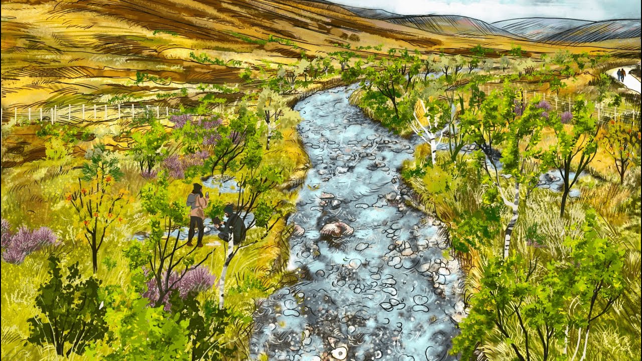
Traditionally Forestry and Land Scotland (FLS) assessed deer populations with sample plot field surveys and data extrapolations. Recent innovative work with BH Wildlife Consultancy has enhanced FLS wildlife management operations by acquiring ‘minimum count’ data from thermal imaging drones, using a combination of ESRI’s ArcGIS apps. Scotland’s deer population has doubled in the last 30 years, increasing negative impacts on forests and other habitats. Data and thermal imagery showing deer densities is now an important part of FLS work to manage deer at a landscape scale, in partnership with other land managers. These outputs are also helping policy makers and regulators understand the issues, as well as helping FLS communicate publicly the need for sustainable deer management - often an emotive and controversial subject.
Following this innovative story from FLS and BH Wildlife Consultancy, Esri UK will take you on a flight through the changing landscape of remote sensed data and look at how ArcGIS analysis tools can yield insight from this view of our world. We’ll then touch down with a look at how ArcGIS can unlock access to imagery for wider audience.
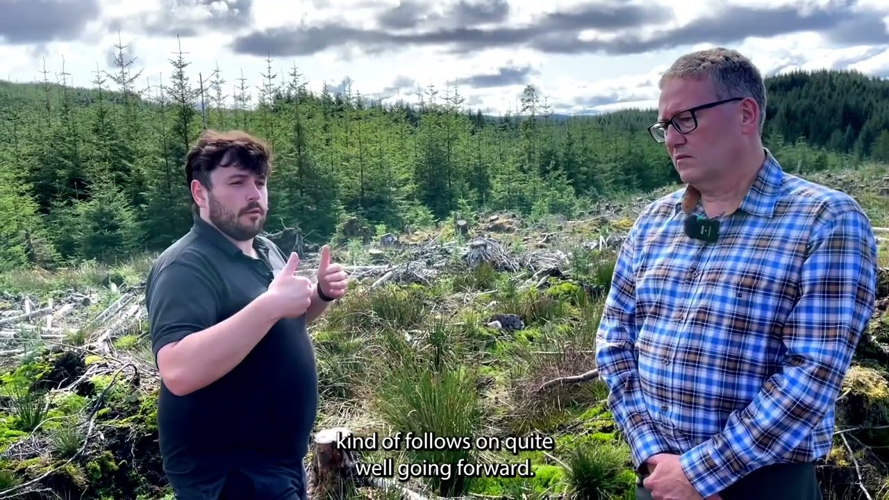
Speakers: Douglas Knox, Ben Harrower, Eve Selbie & Catherine Clarke.
Повторяем попытку...

Доступные форматы для скачивания:
Скачать видео
-
Информация по загрузке: