Field data collection to measure forest health in the birthplace of Guatemala largest river
Автор: Gibs Images
Загружено: 2025-04-19
Просмотров: 37
Описание:
Contact: [email protected]
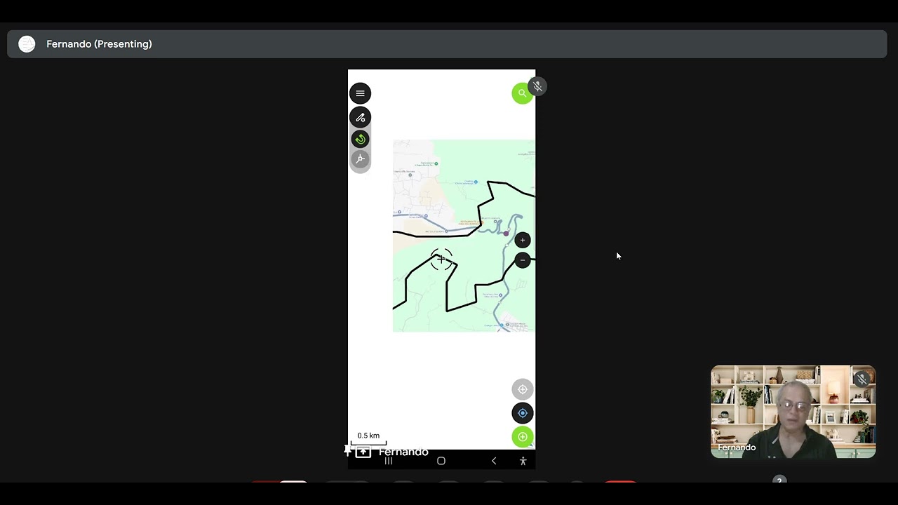
1) Area of interest delimitation in the western highlands of Guatemala north to Lemoa lake in Santa Cruz in El Quiche department.
2) Download the area of interest with Qgis raster tools to work with the map offline.
3) Create the vector layer of points data capture with these fields and datatype:
Area: String.
4) Define the data attributes of each field:
Area: Region1, Region2
Photo: attachment as picture
5) Download Qfield plug in for Qgis and configure the import and export directories to send the project to the mobile and get the data back to Qgis.
6) Take the field data from the Qfield app.
7) Update the Qgis project with the field data captured by the mobile Qfield app.
8) Display the data on Qgis map as vector and the pictures.
Повторяем попытку...
Доступные форматы для скачивания:
Скачать видео
-
Информация по загрузке: