Queensland: A Tropical Low and Flooding Emergency Developing North of Brisbane to Rockhampton
Автор: CyclonesOZ
Загружено: 2026-03-08
Просмотров: 12993
Описание:
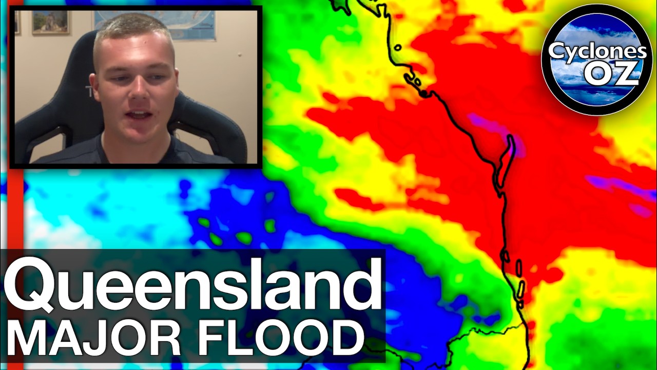
Today, the serious rainfall potential lies around the Capricornia/Wide Bay/Burnett region coastline, where falls up to 250mm are possible.
The remnants of the North Queensland tropical low are likely to develop quickly this afternoon near Rockhampton, tracking towards Gladstone in the afternoon then north of Hervey Bay and out into the Pacific Ocean in the evening. Where this low is situated and just to the south and east of the system, locally intense and scattered heavy falls are possible.
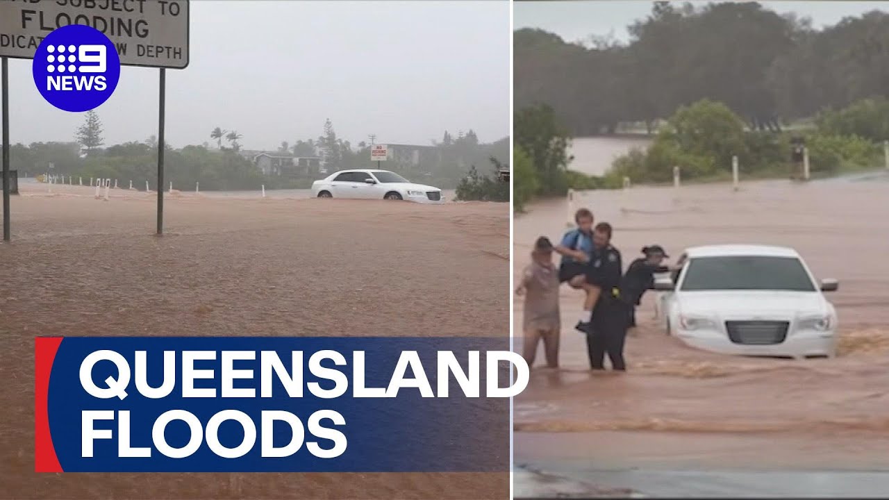
Bundaberg and Gladstone as well as adjacent inland communities such as Miriam Vale, Agnes Water, Hervey Bay and Childers are in the firing line for the really heavy stuff. Flooding is likely, with significant water level rises observed yesterday and the Mary River north of Gympie now a big concern, as well as many of the rivers and creeks in the Burnett region.
Forecast produced with data and imagery from: windy.com
Check me out on Facebook: https://www.facebook.com/profile.php?...
Be sure to subscribe to the channel, Leave a like on this video. All support helps!
Join at this link to financially support CyclonesOZ and get access to members perks. / @cyclonesoz
Thanks heaps for watching!
Video Chapters:
Introduction: 0:00
An update on the rainfall: 0:35
How much more rain tonight?: 4:01
Rainfall Accumulations Forecast: 5:12
Flooding Outlook: 6:51
Flood Warnings and Images: 10:43
Closing Messages: 16:40
Повторяем попытку...
Доступные форматы для скачивания:
Скачать видео
-
Информация по загрузке: