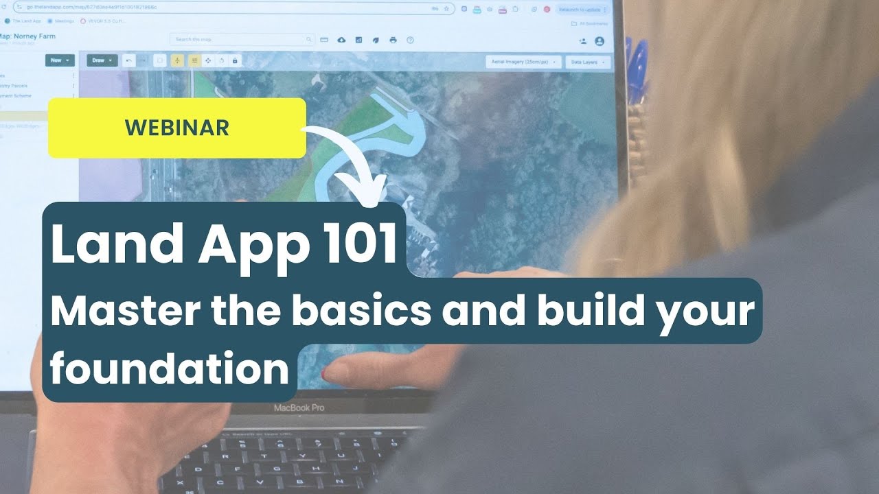
Land App 101
Автор: Land App
Загружено: 2026-01-26
Просмотров: 244
Описание:
Whether you are a brand-new user or looking to refine your existing skills, this session is designed to give you a solid foundation. We stripped things back to basics, ensuring you have the confidence to navigate the platform and build professional-grade maps with ease.
Sign up and try for yourself at https://thelandapp.com/
Video timestamps:
00:00 - Welcome, introductions and agenda
03:16 - About Land App
05:05 - Land App's subscription tiers
06:20 - Some of Land App's partners and data providers
07:42 - Website tour
10:00 - Creating an account and logging in
10:33 - Main Maps Dashboard: Managing and archiving maps
12:34 - Creating a new map and using the sub-region feature
13:37 - Interface navigation: Exploring base maps (OpenStreetMap, Satellite, Ordnance Survey)
19:33 - Data layers e.g. Public rights of way, flood zones, and SSSIs
23:59 - Importing Land Registry Data
26:11 - Templates e.g. SFI, BPS, Countryside Stewardship
28:50 - Feature details: Editing attributes and labels
30:33 – Assigning land use and styling features
32:17 - Advanced editing tools: Split, Merge, and Buffer functions
34:16 - Drawing features: Tracing buildings using OS data
35:33 - Importing data from the Rural Payments Agency (RPA)
38:16 - Organising your map: Creating folders
39:10 - Generating reports and data tables
40:45 - Adding photos with location data to your map
42:05 - Printing your map: Customising layouts, scales, and logos
47:23 - Collaboration: Sharing maps
48:20 - Q&A
Повторяем попытку...
Доступные форматы для скачивания:
Скачать видео
-
Информация по загрузке: