Flight over Badlands, July 7, 2023
Автор: Andreas Lauschke
Загружено: 2023-07-08
Просмотров: 152
Описание:
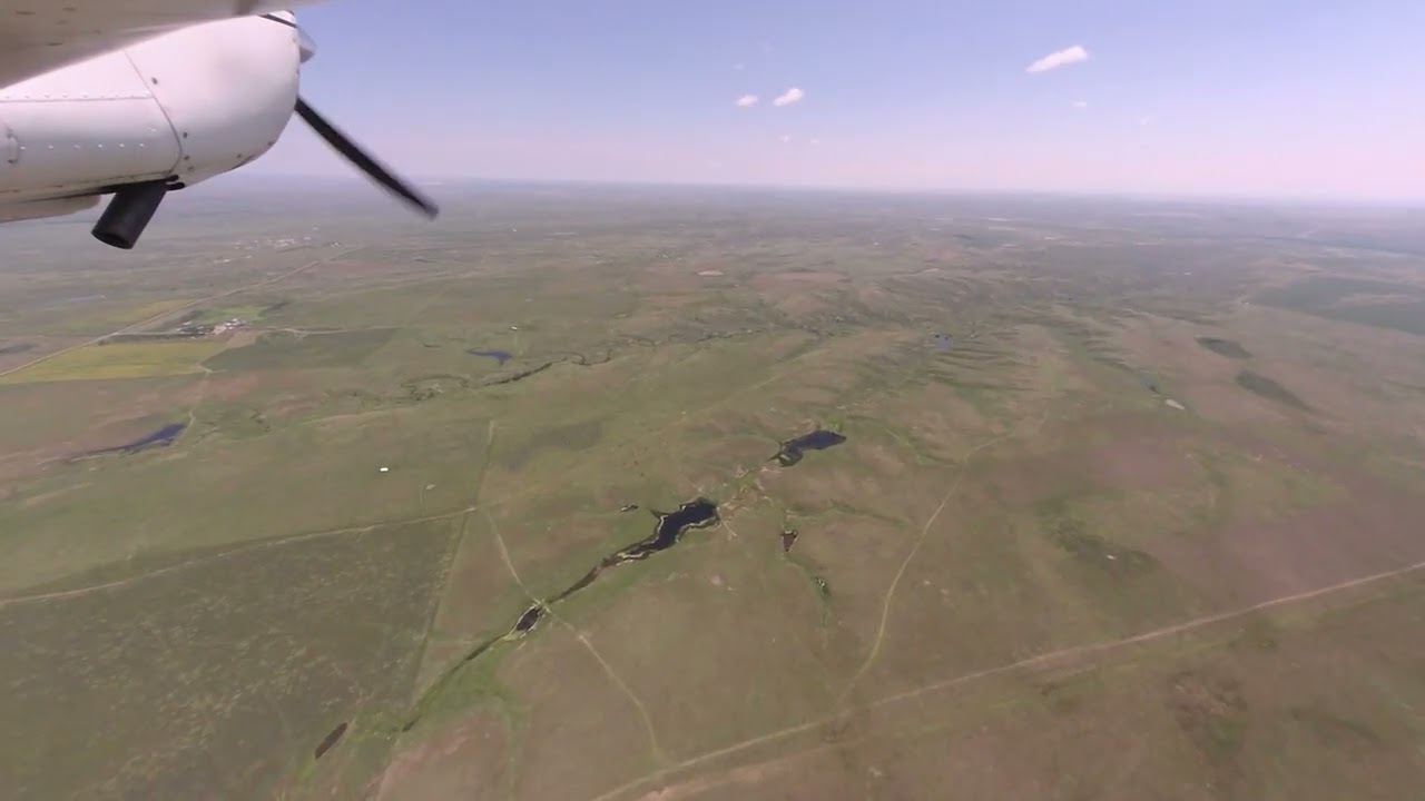
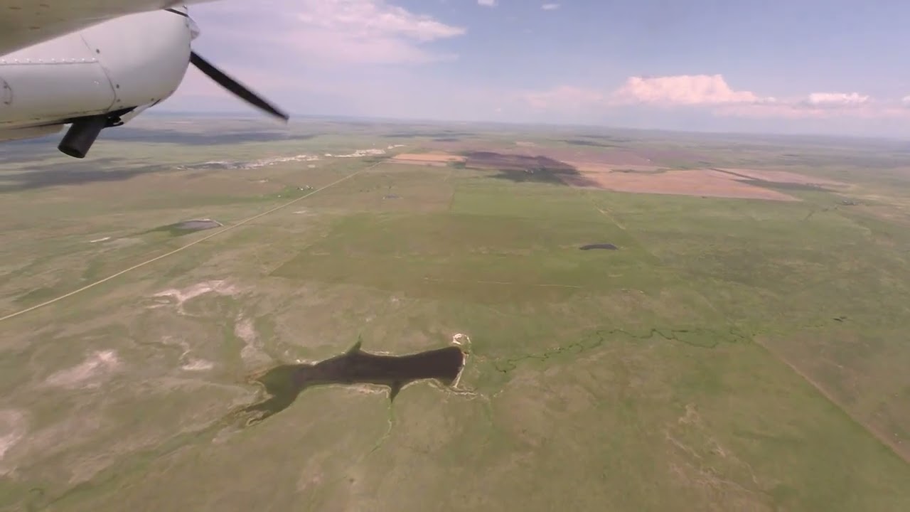
July 7, 2023. It was not a hot day, 24C over Badlands, so I allowed myself down to some 600 ft. AGL.
This was the first flight of the day, ending at the Hot Springs airport. You find the video for the second flight (from Hot Springs via the Wind Caves National Park to Crazy Horse, Cathedral Spires, Mount Rushmore) at • Flight over the Blackhills (Wind Cave, Cra...
flight maps:
for the whole flight:
https://s3-tracks-notebooks.s3.us-wes...
first segment (very "Northern" part of the National Park, somewhat accessible from the road):
https://s3-tracks-notebooks.s3.us-wes...
second segment ("lower" or "Western" section of the National Park, not really accessible from the ground, perhaps from road 44):
https://s3-tracks-notebooks.s3.us-wes...
third segment (me following the Cheyenne upstream to the Hot Springs airport):
https://s3-tracks-notebooks.s3.us-wes...
With this flight I wanted to capture some ridges and cliffs outside of the official Badlands National Park area, and I was willing to clip off the whole Eastern section, there was cloud development South of Kadoka anyway. So I first head towards the Wall airport (it's closed, you can see the X marks at the runway ends, and you see that there is no runway anymore), then turn South to "enter" the National Park area over a cliff line that leads directly to Pinnacle Overlook. When over Badlands I leave and enter the official National Park area a few times, I finally leave at the Western end, Red Shirt Overlook. Then I head a little North to join the Cheyenne River and follow it to the Hot Springs airport. The airport is directly at the river.
20:36 Wall airport (or what's left of it), North of the highway, and the Wall village
21:20 I now join a cliff line, don't now the name of it (anyone knows, please leave a comment)
23:07 Badlands Boondocking area
23:45 Badlands Boondock camping spot
24:22 Pinnacles entry point. Pinnacles Overlook (parking lot area at the right)
24:27 Ancient Hunters Overlook
I then follow road 240 because I wanted to turn West at the Southern side of that formation
25:17 Yellow Mounds Overlook and Conata Basin Overlook. Road fork with Conata Basin Road.
25:33 Conata Picnic Area
I then follow the Southern edge of the formation, turn North to fly the Southern side of the Southern cliff of the Sage Creek Basin outbound and the Northern side of it back inbound.
28:00 green plateau of the "Southern cliff", South side, outbound
31:50 green plateau of the "Southern cliff", North side, inbound
33:43 I loved that plateau so much I flew it a second time, but a tighter circle. It's coming up at the right
I then follow the Southern side of the formation to an area where I think there are again two "arms" stretching to the North, I follow both "arms", trying a combination of flying along a cliff line and crossing cliff lines. I find both interesting: flying along them, and crossing them.
38:44 first "arm", outbound, to the North
39:50, tight turn, to fly the East side back, inbound
40:40 wide left turn to the left to capture the second "arm" and cross some ridge / cliff lines
45:08 cam is smacked by a bug (top edge of the screen). Well at least that transit free-loader had an unceremonious death.
47:55 heading North to follow another "plateau arm". Far out, then turn around and fly it back "inbound".
52:56 now leaving the National Park area to the South. It's still Badlands, but not the National Park area anymore.
54:22 Imlay, road 44
1:02:53 Rockyford area, you see Rockyford at the left, and I now follow the basin to the West. First I circle Cedar Butte, then head on.
1:05:55 beginning of the plateau (what's its name?), I follow it on the North rim
1:16:50 I break away from that plateau and head North towards the Red Shirt area.
1:18:13 Red Shirt Table Overlook, road 41. This is the Western end of the National Park area.
I then head North to follow another cliff line and to join the Cheyenne River all the way to the Hot Springs airport. The Cheyenne River is just a little North from here.
1:21:10 Cheyenne River, following the river upstream
1:34:30 Hot Springs airport becomes visible. I abandon the Cheyenne and prepare for landing.
1:35:25 I am too high and make descending S turns to lose altitude and give you a better view of the Cheyenne which we have in front of us.
1:36:10 Cheyenne River and airport together directly in front
Повторяем попытку...
Доступные форматы для скачивания:
Скачать видео
-
Информация по загрузке: