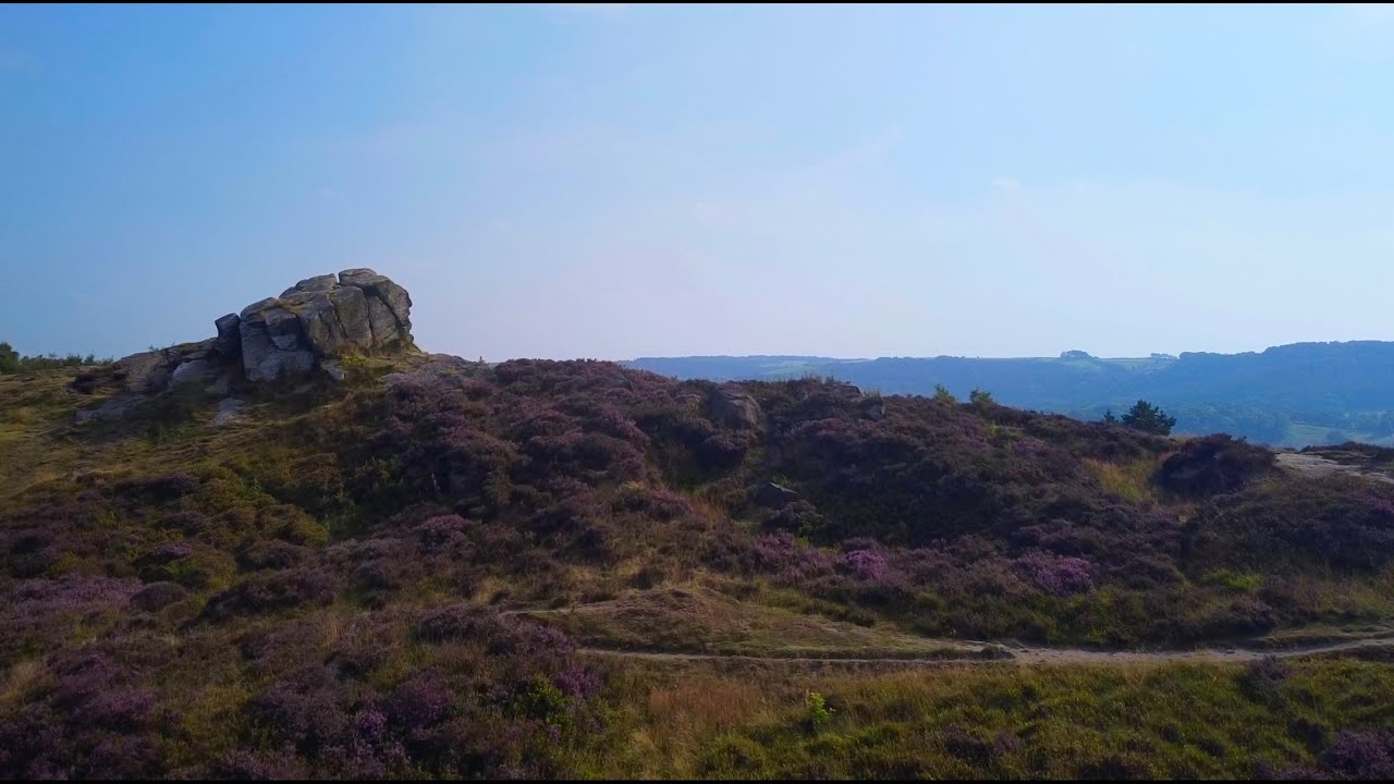
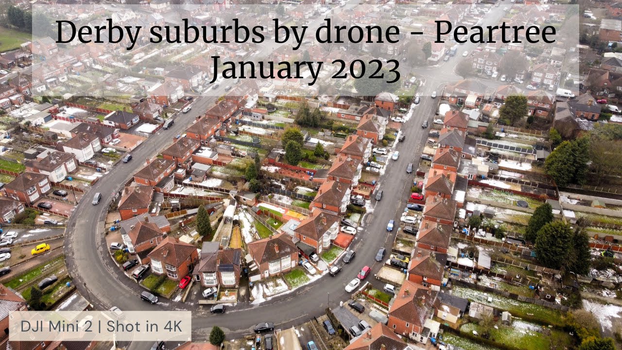
Pear tree, Derby. Part of the Derby suburbs by drone series. Best viewed on a Smart TV | 4K
Автор: comedyhunter
Загружено: 2023-01-23
Просмотров: 1322
Описание:
This little drone video is a flight over the Derby suburb of Pear tree (Peartree).
See if you can spot the various landmarks in this video such as :
¤ Pear Tree Infant School built 1927.
¤ St Christopher's Church on Shaftesbury Crescent (built 1903)
¤ The new housing estate built on the former home of Derby County FC - The Baseball Ground.
¤ The massive Shaftesbury industrial estate which includes "2 Sisters", a large employer who supply ready meals to Aldi, Asda, Co-op, KFC, Lidl, Marks & Spencer, Morrison's, Sainsbury's, Tesco and Waitrose.
¤ The railway line from Derby to Birmingham, part of the Cross Country Route, forming the eastern boundary of Peartree.
¤ The National Sikh Museum and Sarkar-e-Khalsa Art Gallery.
¤ The Sri Guru Singh Sabha Gurdwara.
¤ The very distinctive road layout of Peartree crescent.
¤ The Chestnut tree pub opened 1940.
¤ Lister House Surgery.
¤ The Pear Tree Inn built 1934 with its distinctive green tiled roof.
¤ The Ramgarhia Gurdwara in the former Sherwood Foresters pub of 1890.
Do you live in Peartree or used to live here, do you have any nice memories?
Maybe YOU have spotted a local landmark that Ive not listed, leave a comment about it with a timecode.
Pear Tree's most famous landmark was the Baseball Ground, home of Derby County football club, it was demolished in 2004.
Pear Tree (or Peartree) is an inner city suburb of the city of Derby, in Derbyshire, England, located about 1.2 miles (1.9 km) south of the city centre. It is split between the Arboretum and Normanton electoral wards. Neighbouring areas include Litchurch, Normanton and Osmaston. The area became urbanised in the late 19th century and is characterised by terraced housing originally built for industrial workers
As well as this drone flight Ive captured the area from 400ft high in high resolution 360 degree photography :
Link to my high resolution 360 degree photograph on Google Maps :
400ft above Peartree, Derby :
https://goo.gl/maps/MAggS6LJNXzBLX1V9
► Please like, Share, subscribe and turn on notifications.
Feel free to share the link to Facebook, Twitter or to anyone you think would like to see it.
Best viewed on a large computer screen or smart TV as this is recorded in 4K resolution with great music so a real waste watching it on a small phone screen. Did you know you can cast it to your smart tv from the YouTube app?
I also have a YouTube Short for Peartree : • Peartree, Derby - Derby suburbs by drone s...
-------------------------------------------------------------------------------------------------------------------------
Music Credits :
'Goliath' [Epic Orchestral CC-BY] - Scott Buckley
• 'Goliath' [Epic Orchestral CC-BY] - Scott ...
-------------------------------------------------------------------------------------------------------------------------
Information on my drone flying :
● My drone is a Class C0 drone sub-250g type, because its such a lightweight drone (236g), I'm allowed to fly it over residential and commercial property and people (but not crowds) without permission.
● I passed the theory test and have both valid flyer ID and Operator ID's.
● I have drone insurance (£5 million public liability insurance cover).
● I strictly follow all the CAA guidelines on flying my drone.
● I always fly in Cinematic mode (slow speed) as this is safer in urban environments.
● I plan all of my flights in advance of taking off to ensure I know my complete flight path and am aware of any obstacles in the way.
● In order to maintain VLOS (visual line of sight) with my drone I use extremely bright Strobe lights, if there are trees or buildings in my way then I have to land and carry on from a different location this means that I often have to join bits of flights together, I try and line up edits using telemetry to match altitude and position etc. but its not always possible to get good joins in clips so this can mean jump cuts and fades between clips.
● I carry out a risk assessment before each flight and ensure all batteries fully charged, GPS has a good fix etc.
● I always engage with anyone nearby informing them the reason for my flight.
Thanks
Andy
#DJIMini2 #Derbyshire #Drone #Derby
Повторяем попытку...
Доступные форматы для скачивания:
Скачать видео
-
Информация по загрузке: