How Airports Actually Fit Into Cities
Автор: City Planner Mismanages
Загружено: 2026-01-24
Просмотров: 166
Описание:
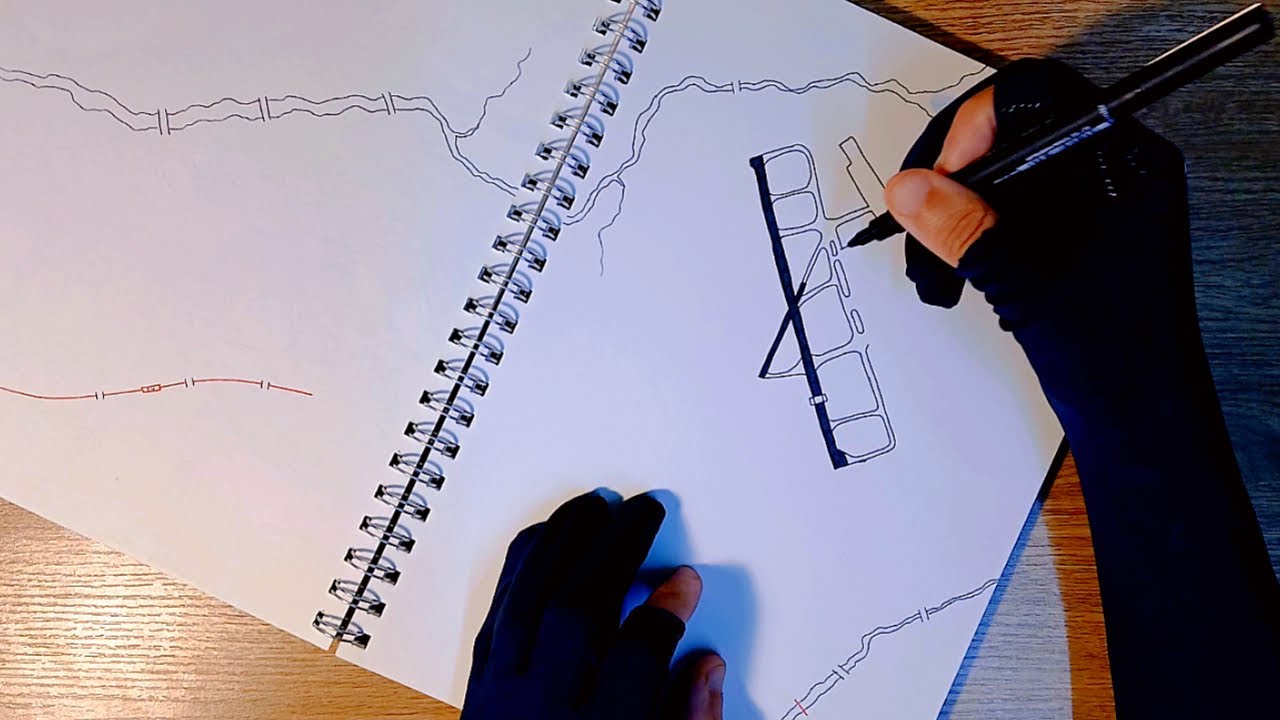
Airports are deceptively complicated. A city planner - and even mappers - have limited knowledge of correct airport design and markings, but in this video I will show you, while drawing freehand, how airports can fit into dense cities - including this airport close to a city centre, much like Sydney, Boston Logan, Toronto Billy Bishop and Amsterdam Schiphol.
This video provides you with everything you need for an airport to function and how to build the surrounding airport district - This video is useful for map-makers, city-building fans, and anyone curious how airports actually fit into cities.
View or grab the map at: https://jamesbrave64.gumroad.com/l/ai...
This is a hand-drawn, process-focused explanation rather than a technical aviation manual.
If you enjoy process-driven map design, there are more long-form builds on the channel.
CHAPTERS
00:00 Why airports are harder to draw than they look
00:48 Letting the land decide (topography)
01:22 Runways come first - always
02:29 Where light aircraft actually belong
03:07 Taxiways: the part everyone messes up
03:50 Aprons and aircraft space
04:47 Distance-to-go & runway markers
05:28 Getting runway numbers right
09:06 Terminal layout that actually works
10:34 The buildings passengers never notice
12:02 Radios, warnings, and safety zones
13:53 Rail and road access (non-negotiable)
16:15 Passenger loops and circulation
17:11 Service roads and back-of-house access
18:41 Fire safety and emergency planning
19:04 The green buffer that protects the city
20:22 Power, fuel, and airport utilities
20:48 Parking without chaos
21:39 Flight schools and training zones
22:14 Hotels and airport-adjacent uses
22:59 Plane spotting and public access
24:06 Building the surrounding airport district
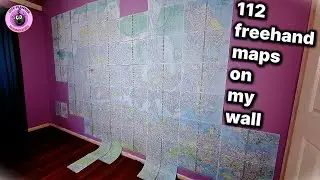
24:32 The finished airport map
Повторяем попытку...
Доступные форматы для скачивания:
Скачать видео
-
Информация по загрузке: