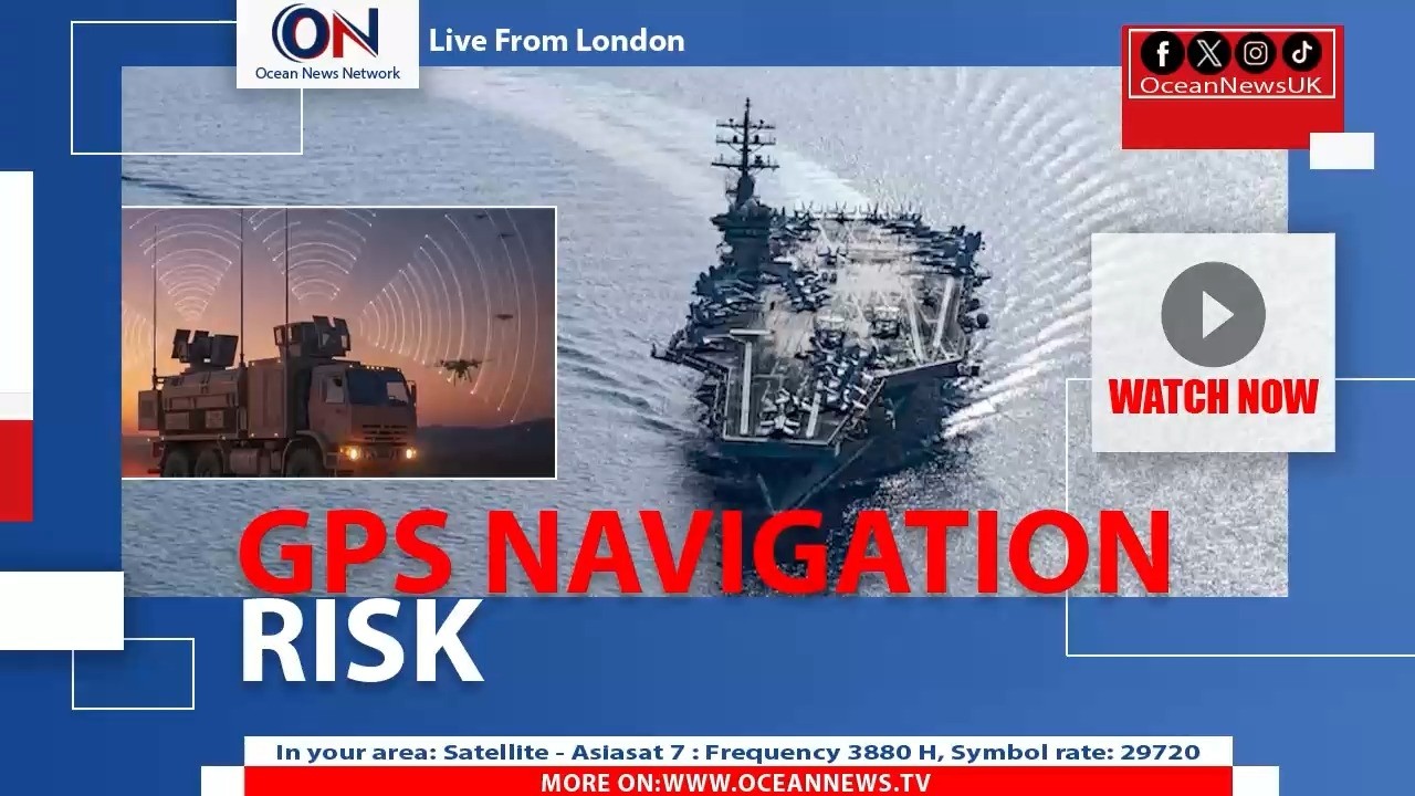
GPS Jamming Disrupts Navigation for 1,000 Ships in Gulf Amid Rising Conflict
Автор: OceanNewsUK
Загружено: 2026-03-09
Просмотров: 2
Описание:
About 1,000 ships operating in the Middle East have at times lost their GPS navigation signals a disruption linked to the escalating regional conflict and widespread signal jamming and spoofing around the Gulf and Gulf of Oman. Experts say many commercial vessels rely on an older civilian GPS frequency (L1 C/A) making them especially vulnerable when strong jamming signals overwhelm those satellite frequencies effectively creating a “wall of mush” that prevents receivers from locking on to genuine positioning data.
The jamming doesn’t just affect location; GPS feeds are also used for onboard timing radar synchronization and automatic identification systems (AIS). In some cases spoofing broadcasting false signals can make a ship’s system report it is somewhere entirely different such as inland or at another port adding serious navigation and safety risks.
Both offensive and defensive electronic interference are believed to be at play. Regional military forces including Gulf states defending against drone incursions have used jamming around their own shores even at the cost of disrupting civilian navigation. Similar tactics were employed by Israel and Iran during previous flare‑ups in 2024 and 2025 and now this electronic warfare is intensified amid the current broader conflict.
Because many ships lack more modern multi‑constellation receivers they cannot fall back on European Russian or Chinese positioning systems once GPS signals are jammed leaving them to navigate visually or with radar alone methods designed for an earlier era of shipping.
#GPSJamming #MaritimeSecurity #GulfCrisis #ShippingNews #GlobalTrade
#OceanNewsUK #UK #Ocean #breaking #latest #London
More On: http://oceannewsuk.com
📺Satellite - Asiasat7: Frequency 3880 H, Symbol Rate: 29720
Повторяем попытку...
Доступные форматы для скачивания:
Скачать видео
-
Информация по загрузке: