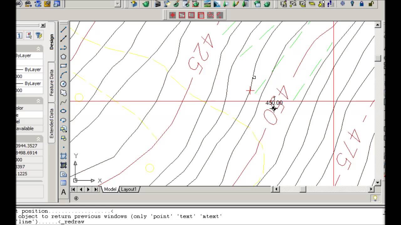
Visual lisp topographic map and longitudinal profile
Автор: cadoptimize
Загружено: 2015-08-03
Просмотров: 3549
Описание:
Visual lisp topographic map and longitudinal profile
PLAN_PROF is a application for creating longitudinal profiles of the ground. The application is set for the creation of a design plan by means of an appropriate tool that gathers all the information needed for creating a longitudinal profile of the corresponding track.
The AUTOLISP platform is, obviously, AUTOCAD
The basic reference is a topographic map or an image from which all the information on elevations relative to the ground model may be obtained.
Our target comprise studies of hydraulic and building companies, topographic studies as well as those projects that demands a thorough study of the ground in the preparation of the plan. The software is dedicated also to CAD operators facing their first working experience in the field.
se more to
http://www.cadoptimize.com/profile.ph...
Повторяем попытку...
Доступные форматы для скачивания:
Скачать видео
-
Информация по загрузке: