Aerial Imagery and Geospatial Data Services of Prius Intelli
Автор: Prius Intelli
Загружено: 2023-06-13
Просмотров: 37598
Описание:
https://priusintelli.com/solutions-and-ser...
Introducing Prius Intelli, your premier provider of cutting-edge aerial imagery and GIS services. With expertise spanning various industries, including construction, agriculture, and environmental sectors, we are here to optimize your operations like never before.
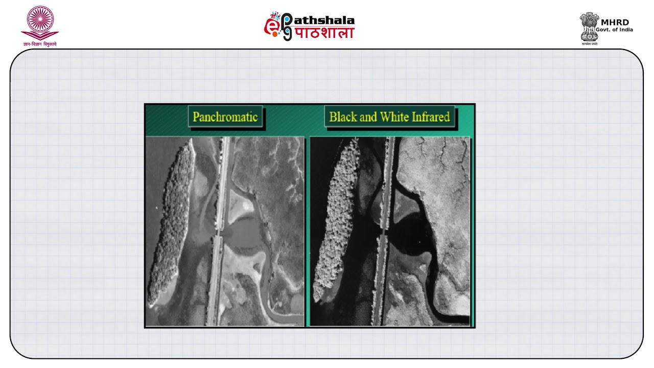
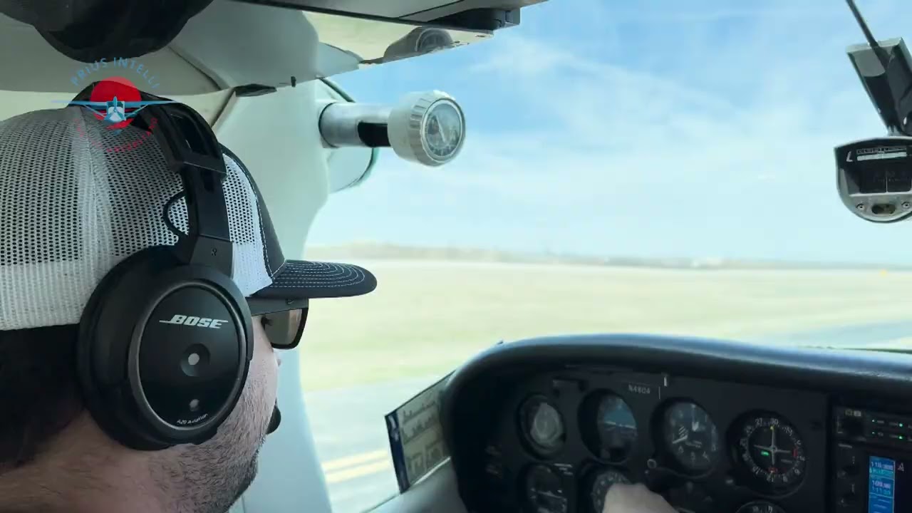
Harnessing the power of advanced technology, Prius Intelli captures high-resolution orthophotography images that are second to none in accuracy, detail, and reliability. Our state-of-the-art methods ensure you receive the most precise and comprehensive aerial data available.
Imagine the possibilities. In construction, our aerial imagery can provide vital insights, enabling you to plan and execute projects with utmost precision. Agriculture professionals can leverage our services to monitor crop health, optimize resource allocation, and boost overall productivity. And for the environmental industry, our imagery uncovers valuable information for conservation efforts, mapping, and more.
With Prius Intelli by your side, you'll unlock a new level of efficiency and effectiveness in your field. Let us be your trusted partner, bringing you the intelligence and insights you need to stay ahead of the curve.
Don't wait another moment. Reach out to us today and discover how Prius Intelli can revolutionize your operations with our unparalleled aerial imagery and GIS services. Together, let's elevate your success to new heights.
Повторяем попытку...
Доступные форматы для скачивания:
Скачать видео
-
Информация по загрузке: