Tracking Tropical Storm Francine moving northeast toward Gulf Coast
Автор: FOX10 News
Загружено: 2024-09-10
Просмотров: 2353
Описание:
Your Mobile - Pensacola - Gulf Coast Area Weather Forecast for September 10, 2024
— Francine Impacts - Hurricane Conditions in LA - Shift East —
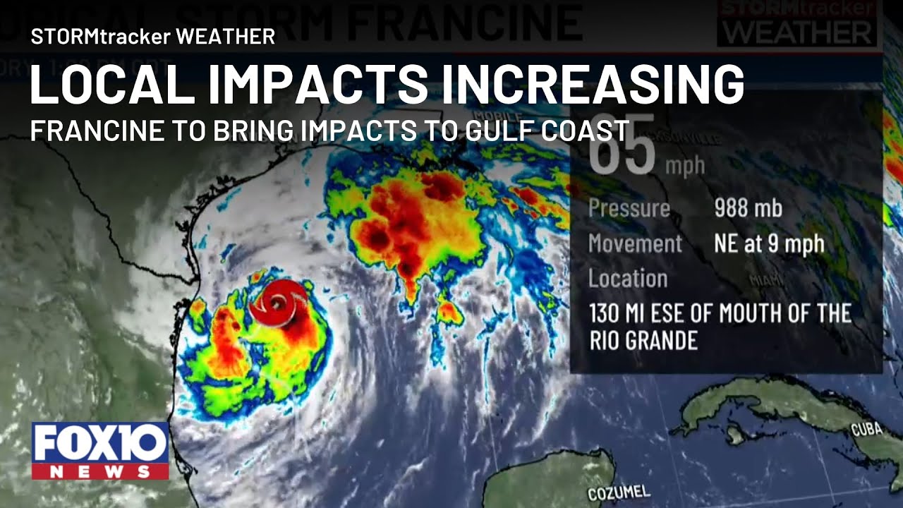
Francine is expected to continue strengthening today and will likely become a hurricane soon. This storm will make landfall along the Louisiana coast on Wednesday, with impacts spreading inland Wednesday night into Thursday. The official track from the National Hurricane Center has Francine's center passing west of the FOX10 viewing area. This means that the worst impacts—like hurricane-force winds and 10-foot storm surge—will be well to our west. However, we will be on the eastern side of the storm and are expecting tropical storm impacts in our area.
On Monday night, Francine was struggling with dry air that got wrapped into the center of circulation. Intensity briefly leveled off as the storm worked to reorganize its central core. Now, the storm is building strong thunderstorms around its center, and strengthening is occurring. We expect the storm to intensify for the rest of today and into tonight before it levels off on approach to the coast.
Once the storm nears the coast on Wednesday, it will face a more hostile environment with dry air and wind shear. This may limit further intensification or even weaken the storm as it approaches landfall. As Francine moves inland late Wednesday, dry air will be swept into the southern side of the storm. The storm will look very lopsided. The northern and eastern sides will contain most of the heavy rain and wind, while the southern and western sides will be dry and breezy, possibly becoming void of clouds.
#GulfCoast #Francine #Tropics
— — — — —
For more Local News from WALA: https://www.fox10tv.com/
For more YouTube Content: / @fox10.news.
Повторяем попытку...
Доступные форматы для скачивания:
Скачать видео
-
Информация по загрузке: