Hartbeespoort Dam Drone Tour
Автор: Emmanuel Nyoni
Загружено: 2017-07-25
Просмотров: 19974
Описание:
Hartbeespoort Dam Drone Footage
Captured using DJI Mavic Pro
Music by: Maxwell / maxzwell
More about the dam:
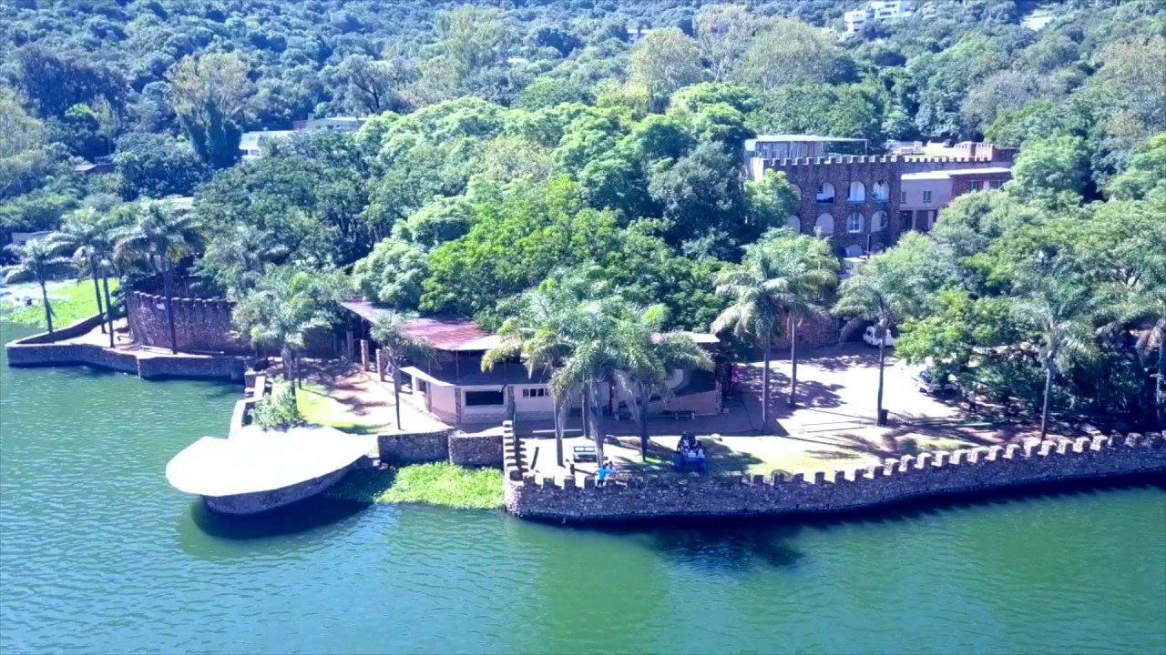
Hartbeespoort Dam (also known as Harties) is an arch type dam situated in the North West Province of South Africa. It lies in a valley to the south of the Magaliesberg mountain range and north of the Witwatersberg mountain range, about 35 kilometers west of Pretoria. The name of the dam means "pass of the hartebeest" (a species of antelope) in Afrikaans. This "poort" in the Magaliesberg was a popular spot for hunters, where they cornered and shot the hartebeest.The dam was originally designed for irrigation, which is currently its primary use, as well as for domestic and industrial use. The dam has suffered from a hypertrophic state since the early 1970s. Mismanagement of waste water treatment from urban zones within the Hartbeespoort Dam catchment area is largely to blame, having distorted the food web with over 280 tons of phosphate and nitrate deposits.
The town of Hartbeespoort is situated close to the dam wall and the villages of Kosmos, Melodie, Ifafi, Meerhof and The Coves, Pecanwood, Westlake and several other estates can be found alongside its shores. The town of Schoemansville was named after General Hendrik Schoeman, owner of the land during the 19th century.
Повторяем попытку...
Доступные форматы для скачивания:
Скачать видео
-
Информация по загрузке:


