World Conflicts to International Cooperation: Contextualizing Episodes of 20th Century History
Автор: Virginia Council for History Education
Загружено: 2025-04-21
Просмотров: 2
Описание:
The Virginia Council for History Education is excited to partner with the Virginia Geographic Alliance (VGA), National Council for History Education (NCHE), GISetc, and Esri to offer a FREE webinar about World Conflicts to International Cooperation: Using ArcGIS online and GeoInquiries to teach 20th-century US History.
Presenters:
Chris Bunin, Virginia Geographic Alliance
Anita Palmer, GISetc
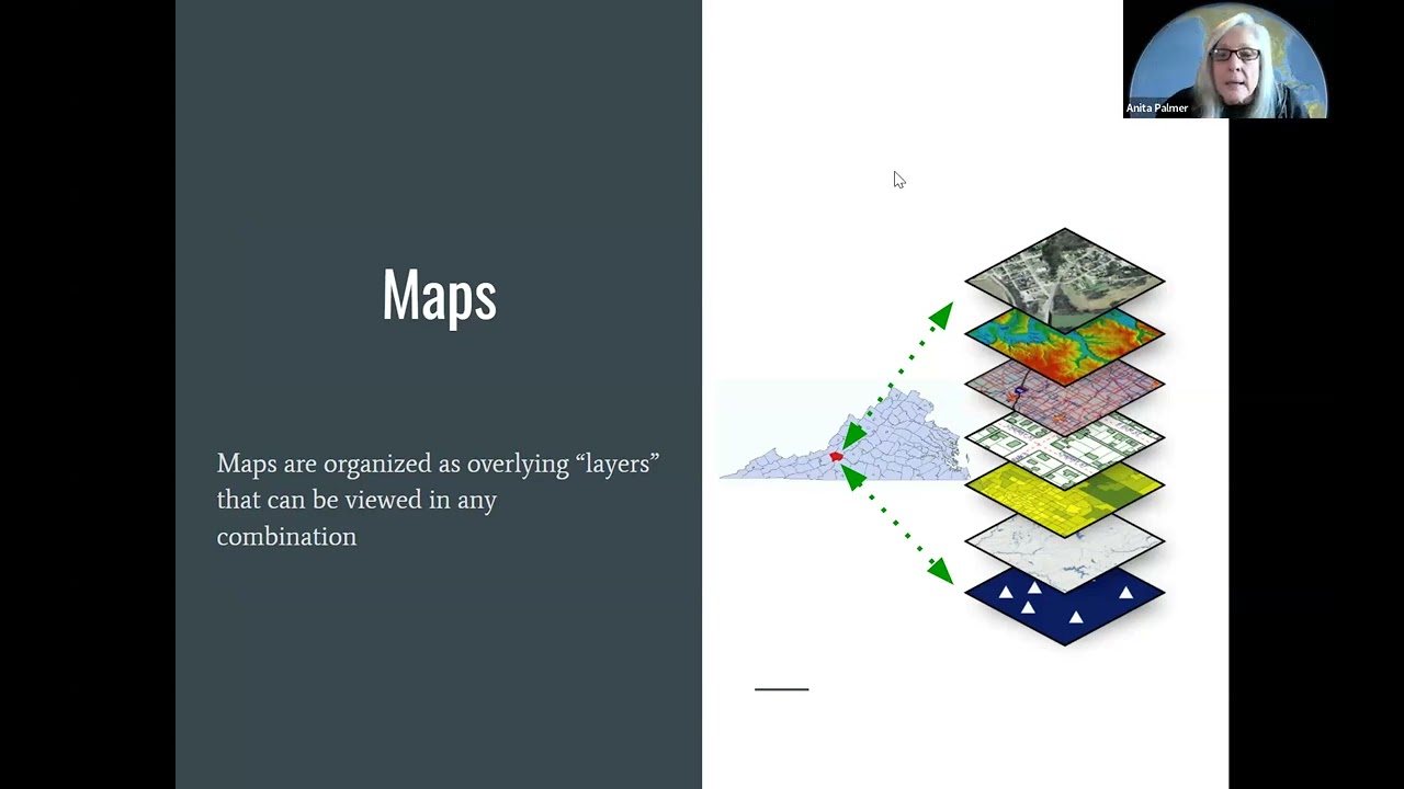
The interplay between geography and history is essential to understanding the events and episodes that shaped the first 250 years of the United States. This webinar will introduce teachers to the power of using short, classroom-ready GeoInquiries tailored to 20th-century US history topics. These free dynamic activities bring the geography of these events to life while introducing teachers and students to the power of geographic information. Topics include: Imperialism, World War I, Pearl Harbor and D-Day, and International Cooperation since 1945.
This session is Part 3 of a 3-part series, supported by the VGA, Virginia Council for History Education, NCHE, and Esri.
Visit https://docs.google.com/document/d/1v-VefY... for easy access to the webmaps featured in this video!
Повторяем попытку...
Доступные форматы для скачивания:
Скачать видео
-
Информация по загрузке: