Arizona Salt River Wild Horses in 4K Ultra HD Aerial Drone Video During All Seasons of the Year
Автор: Fly High Aerial Videography
Загружено: 2021-05-11
Просмотров: 1282
Описание:
The Salt River is located roughly 48 miles East of downtown Phoenix, Arizona. It starts high in the White Mountains of Eastern Arizona and generally runs west and southwest for about 200 miles. There are 4 reservoirs along the Salt River connecting Theodore Roosevelt Lake, Apache Lake, Canyon Lake, and Saguaro Lake providing water and electricity to nearly 5 million people living within the Metro Phoenix area. The Salt River received its name from the fact the river flows over large salt deposits near its headwaters.
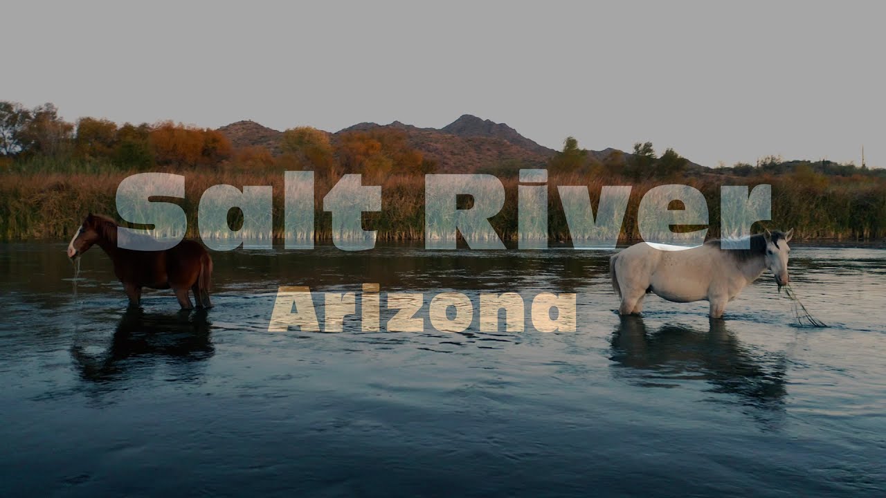
The wild horses found along the Lower Salt River are a historic population of unbranded, unclaimed, wild, and free-roaming horses born in the wild and protected within the Tonto National Forest. According to historical records, wild horses have been living on the Salt River and the Salt River Valley since well before the Tonto National Forest was created in 1902. It is thought that the wild horses originated from Spanish settlers who arrived in the area as early as 1687. Today, there are as many as 500 wild horses roaming the water's edge along the Lower Salt River.
This video was shot on many days throughout the entire year with the DJI Mavic 2 Pro Drone.
*For the best experience, view this video on a large 4K television with HDR. Make sure the playback quality is set to 4K.
Повторяем попытку...
Доступные форматы для скачивания:
Скачать видео
-
Информация по загрузке:


