Hiking Laurel-Snow State Natural Area in Tennessee
Автор: Aaron Mitchell
Загружено: 2021-03-26
Просмотров: 223
Описание:
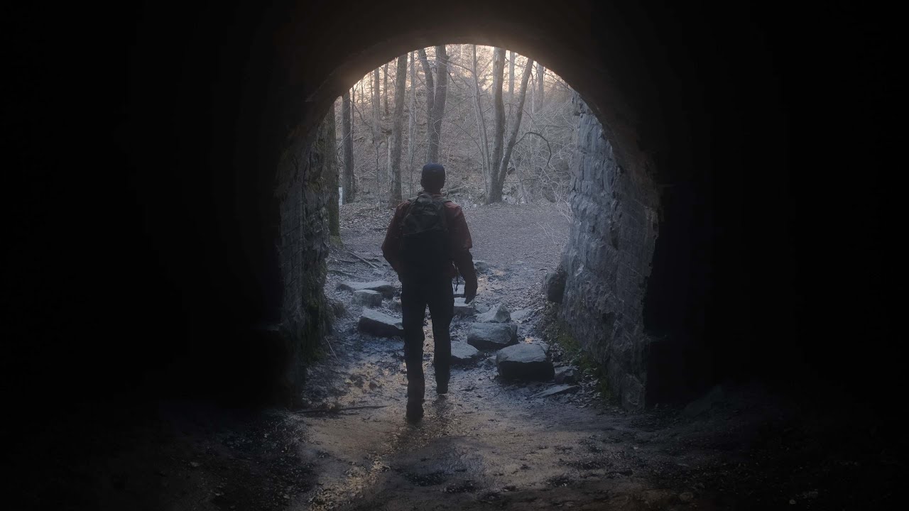
Laurel-Snow is a 2,259-acre natural area located in Rhea County. The natural area occurs on the Walden Ridge of the Cumberland Plateau and contains a section of the gorge that is deeply dissected by Morgan, Henderson, Laurel, and Richland Creeks. The site is named after two scenic waterfalls, Laurel Falls (80 feet) and Snow Falls (35 feet), and features two prominent overlooks, Buzzard Point and the Bryan Overlook (also known as Raven Point).
The land-use history of this area remains evident in places. Logging and deep mining took place in some portions of the area in the late 1800s and early 1900s. Some remnants of the mining activities can still be seen along the trail near the parking area. Part of Richland Creek was impounded to serve as the Dayton Reservoir and was once the water supply for the town of Dayton. The low dam across the stream can still be seen, although water is no longer collected here for the town.
When enjoying the outdoors, it is recommended to exercise the 7 principles of "Leave No Trace".
https://lnt.org/why/7-principles/
For more follow me on Instagram
/ lonersandlandscapes
Повторяем попытку...
Доступные форматы для скачивания:
Скачать видео
-
Информация по загрузке: