Postdicting Roman Roads in the NW Iberian Peninsula
Автор: TALE: The Archaeology Lecture E-library
Загружено: 2017-02-26
Просмотров: 246
Описание:
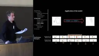
GIS-based digital modelling tools, such as the well-known least cost paths (LCP), have been widely used in archaeology in the recent years as ways to approach the forms of mobility in the past. Quite frequently they have been used as tools to reconstruct (predict) the routes of ancient paths and roads, especially in prehistoric contexts. However they can also be used within a “postdictive” perspective where the aim is not to reconstruct lost parts of evidence (the missing route of a road) but rather to find a logic in the pieces of evidence we actually know about (the archaeological record). This approach is especially useful when we have a significant amount of evidence available, in highly formal archaeological contexts.
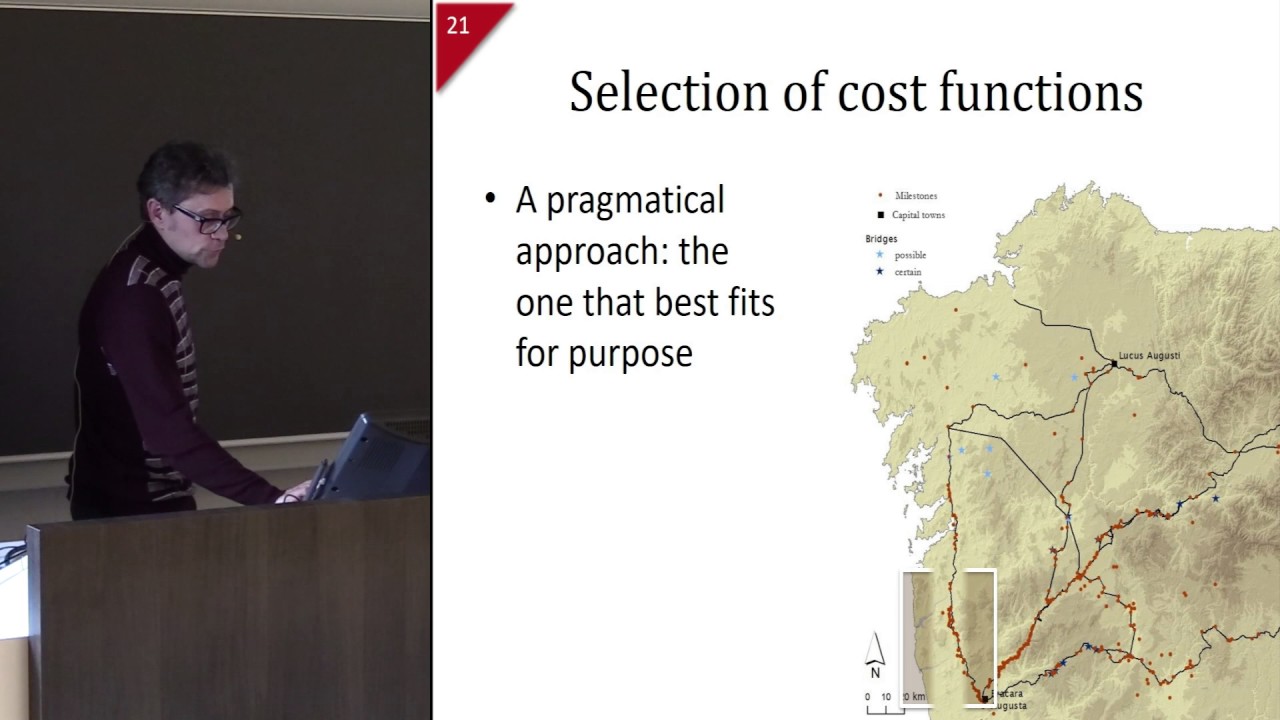
This is usually the case of the Roman roads, as in the NW Iberian Peninsula. Here, in the Roman provice of Gallaecia, a number of scholars have contributed extensively to the reconstruction of the likely routes of the main Roman roads in the last decades. In this paper we will show a complementary approach that, based on a LCP analysis, tries to tackle the question of why the roads follow those particular routes. By doing so, we will try to understand the influence of topographic factors in the road network, and the role of some particular sites in the social, administrative and political organization of the territory.
César Parcero-Oubiña , Alejandro Güimil-Fariña, João Fonte (INCIPIT - CSIC, Santiago de Compostela) and José Manuel Costa García (University of Santiago de Compostela)
Повторяем попытку...
Доступные форматы для скачивания:
Скачать видео
-
Информация по загрузке: