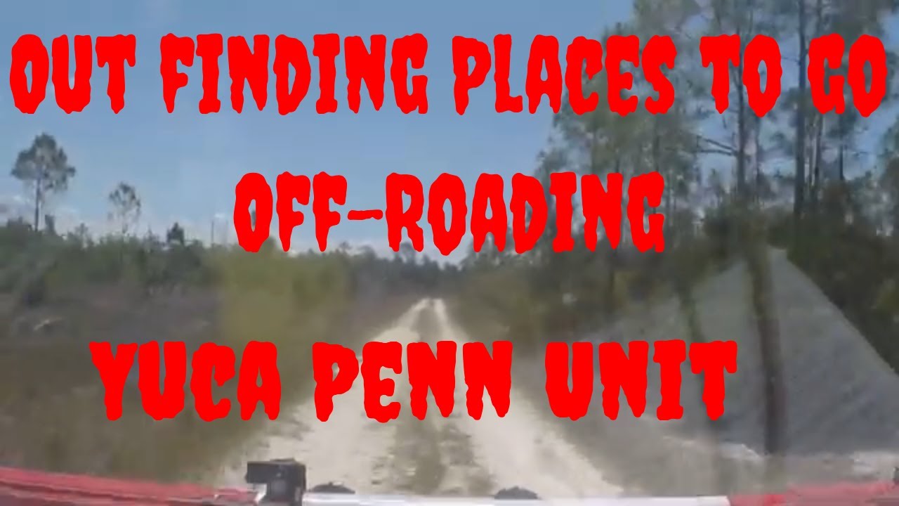
Offroad through the Yucca Pens Unit in Charlotte and Lee County Florida.
Автор: Wild Marks
Загружено: 2022-05-16
Просмотров: 1112
Описание:
Offroading through the Yucca Pens Unit in Charlotte and Lee County Florida. Yucca Pens Preserve (YPP) is located along Burnt Store Road in northwest Cape Coral, Florida. The Preserve includes five parcels, nominations 75, 102,
107, 202 and 281 which were acquired between 1999 and 2006 through the
Conservation 20/20 Program for nearly $1.65 million. The C20/20
Program was established in 1996 after Lee County voters approved a
referendum that increased taxes by up to 0.5 mil for the purpose of purchasing
and protecting environmentally sensitive lands.
The Preserve is approximately 234 acres in size and is divided between three
distinct areas and has historically been used for agriculture and illegally as a site
for outdoor recreation (camping, shooting/hunting and off-road activities).
The Gulf of Mexico and Caribbean Sea affect the climate of Lee County and
these factors influence by creating mild, sub-tropical conditions. Average
annual rainfall is 52.88 inches, significantly lower than the average rainfall for the
entire county during the same period (64.41 inches). The majority of the rain falls
between June and September. Natural trends and disturbances influencing plant
communities and stewardship at YPP include hurricanes, flooding, wildfires,
occasional freezes and the cycling of wet and dry seasons.
YPP lies within the Tertiary-Quaternary Sediments
which was created during the Pliocene Epoch between 2 million to 10,000 years
ago. The principle force in the creation of the geologic formations present in
southwest Florida today has been the Ice Age, which occurred between 1.8
million and 10,000 years ago and had four distinct periods of freezing and
melting. During the periods of freezing, huge sheets of ice (glaciers) covered the
northern and southern latitudes creating substantial drops in sea level.
Lee County is located within the Gulf Coastal Lowlands of Florida that extend
around the coastal periphery of the state where elevations are generally below
100 feet. The natural elevations at YPP range from 8-14 feet above sea-level.
Natural topography has been altered by filling, ditching and draining the land for
past agricultural uses and more recent residential development.
There are six different soil types found at YPP. A common relationship for all of
these soil types is that their slopes range from 0-2 percent; essentially, YPP is
level. The soils within the Preserve have all been identified as having severe
limitations; either ponding, wetness or too sandy. Covering just over half of the
Preserve (48.9% plus 6.3% with Limestone Substrate), Wabasso Sand is the
most common soil type. Pineda Fine Sand is the second most common soil type
covering 44.2 percent of YPP (14.9% of which is Pineda Fine Sand,
Depressional). The remainder of the Preserve is made up of Felda Fine Sand,
Depressional and Oldsmar Sand.
YPP is within the northwestern portion of the South Florida Water Management
District’s Lower West Coast Region. The Preserve lies within three watersheds;
Yucca Pen Creek, Durden Creek and Greenwell Branch Watersheds.
Hydrological alterations have been made on and directly adjacent to YPP that
affect the natural sheetflow across the lands. The existing ditches, abandoned
agricultural furrows, off-road vehicle trails, borrow pit, and adjacent roads
alter the natural flow of water. The Preserve also contains a 3 acre borrow pond
excavated between 1958 and 1966.
YPP contains a combination of wetland and upland communities that serve as
important habitat for a variety of birds, mammals, reptiles and amphibians. YPP
consists of twelve distinguishable plant communities of which eight are described
by the Florida Natural Areas Inventory. The remaining four communities are
highly disturbed and in a transitional stage between two or more plant
communities as described by Florida Natural Areas Inventory. The “Mixed
Mesic” community, one of the transitional stage communities, dominates one
quarter of the Preserve. Mesic flatwoods and wet flatwoods are the next most
common plant communities.
A variety of past land uses throughout this regional area and areas of the
Preserve have altered its ecological condition. The results of logging of slash
pine and cypress can be seen within the Preserve along with the impacts of
agriculture and associated buildings and staging areas. Other land uses
included ditching and drainage activities, staging area for hurricane debris
collection and illegal recreation including hunting and the use of off-road vehicles.
As such, diversity of fauna is much lower than would be expected in undisturbed
communities.
its
proximity to other recreation facilities such as the Charlotte Harbor Preserve
State Park and Fred C. Babcock Cecil M. Webb Wildlife Management Area.
Previous restoration activities on the Preserve included the removal of exotic
plants, clean-up of trash and hazardous waste, and active enforcement of County
Ordinances to cease illegal recreational activities.
Повторяем попытку...
Доступные форматы для скачивания:
Скачать видео
-
Информация по загрузке: