[4K] Los Angeles - LAX Airport to Redondo Beach, Sepulveda Blvd, Pacific Coast Highway, Route 1
Автор: omw
Загружено: 2021-10-16
Просмотров: 10101
Описание:
Saturday afternoon drive in October at 1:45pm.
Start Point: https://bit.ly/305eM16
End Point: https://bit.ly/3AA0jXL
Los Angeles International Airport (IATA: LAX, ICAO: KLAX, FAA LID: LAX), commonly referred to as LAX (with each of its letters pronounced individually), is the primary international airport serving Los Angeles and its surrounding metropolitan area.
LAX is located in the Westchester neighborhood of Los Angeles, 18 miles (30 km) southwest of Downtown Los Angeles, with the commercial and residential areas of Westchester to the north, the city of El Segundo to the south and the city of Inglewood to the east. LAX is the closest airport to the Westside and the South Bay.
While LAX is the busiest airport in the Greater Los Angeles Area, several other airports, including Hollywood Burbank Airport, John Wayne Airport, Long Beach Airport, and Ontario International Airport, also serve the region.
https://bit.ly/3atTegJ
SR 1 is part of the California Freeway and Expressway System, and through the Los Angeles metro area, Monterey, Santa Cruz, San Francisco metro area, and Leggett is part of the National Highway System,[6] a network of highways that are considered essential to the country's economy, defense, and mobility by the Federal Highway Administration. SR 1 is eligible to be included in the State Scenic Highway System;[8] however, only a few stretches between Los Angeles and San Francisco have officially been designated as a scenic highway,[9] meaning that there are substantial sections of highway passing through a "memorable landscape" with no "visual intrusions", where the potential designation has gained popular favor with the community.[10] The Big Sur section from San Luis Obispo to Carmel is an official National Scenic Byway.
The entire route is designated as a Blue Star Memorial Highway to recognize those in the United States armed forces. In Southern California, the California State Legislature has designated the segment between Interstate 5 (I-5) in Dana Point and US 101 near Oxnard as the Pacific Coast Highway (commonly referred to as "PCH", without the definite article "the", unlike other freeway numbers in the Los Angeles area). Between US 101 at the Las Cruces junction (8 miles [13 km] south of Buellton) and US 101 in Pismo Beach, and between US 101 in San Luis Obispo and Interstate 280 in San Francisco, the legislature has designated SR 1 as the Cabrillo Highway, after the explorer Juan Rodríguez Cabrillo who sailed along the coast line. The legislature has also designated the route as the Shoreline Highway between the Manzanita Junction near Marin City and Leggett. Smaller segments of the highway have been assigned several other names by the state and municipal governments. The legislature has also relinquished state control of segments within Dana Point, Newport Beach, Santa Monica, and Oxnard; those segments are now maintained by those respective municipalities.
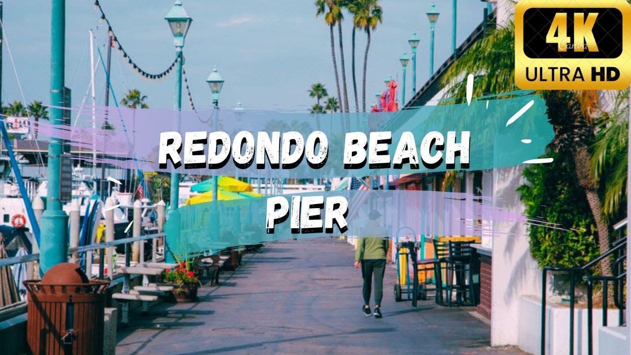
Redondo Beach has a distinct division between the north and south sections of the city, with 190th, Anita, and Herondo streets forming its east–west boundary line. South Redondo is along the beachfront with the pier and marina/harbor complex. The small business district near the pier and marina was revived in the 1990s. That district was once focused on fishing and canning when the pier was used to transport fish-based foodstuffs and canned fish to American and Asian consumers, but that industry experienced an economic downfall in the 1970s and 1980s. The main library is located in the Civic Center.
North Redondo, north of 190th Street, is an inland community separated from the beachfront by Hermosa Beach and Manhattan Beach. While primarily residential, North Redondo contains some of the city's major industrial and commercial space, including the inland aerospace and engineering firms that are part of Southern California's long space legacy. It is also home to the South Bay Galleria shopping center and Artesia Boulevard. North Redondo is the home of the Redondo Beach Performing Arts Center and the Los Angeles Ballet. The North Branch of the Redondo Beach Library serves this area.
Zoning allows properties within two to three blocks of the beach to be developed as large, two to three-unit luxury townhomes; inland areas are more likely to have single-family homes. There is a citywide height limit of 32 ft (9.8 m) for new homes but rooftop living spaces and decks are allowed.[20]
The Marina, Harbor and Pier complexes are planned centers of activity that host seafood restaurants, bars, smaller shops and a games arcade.
https://bit.ly/3vhUixJ
========================
Tech:
========================
Driving camera: https://amzn.to/3LPt21Q
Walking camera: https://amzn.to/3rj9Ikd
External battery: https://amzn.to/3y1y8Cn
Memory cards: https://amzn.to/3So6pUy
Card reader: https://amzn.to/3BW2XJS
Portable external SSD drive: https://amzn.to/3CigBbD
Links above are Amazon affiliate links to the tech I use for this channel.
Повторяем попытку...
![[4K] Los Angeles - LAX Airport to Redondo Beach, Sepulveda Blvd, Pacific Coast Highway, Route 1](https://imager.clipsaver.ru/QLQrnijPqQ0/max.jpg)
Доступные форматы для скачивания:
Скачать видео
-
Информация по загрузке:
![[4K] Los Angeles - Sunset Blvd, Entire Length, 22 Miles, Downtown Los Angeles to Pacific Palisades](https://imager.clipsaver.ru/Y4JIqEGQwMI/max.jpg)
![[4K] Santa Monica to Los Angeles Airport LAX, Pacific Coast Highway, Lincoln & Sepulveda, Route 1](https://imager.clipsaver.ru/O4fQFhcZYfc/max.jpg)

![[07.31.23] Redondo Beach, California | Driving USA & CALIFORNIA](https://imager.clipsaver.ru/GdpHOW2jDNo/max.jpg)
![[4K] Beverly Hills to LAX Los Angeles Airport, Century City, Cheviot Hills, Culver City, ASMR](https://imager.clipsaver.ru/tZxzoRkVwCg/max.jpg)


![[Full Version] Driving Beverly Hills to Downtown Los Angeles, California](https://imager.clipsaver.ru/FEMSP83sFWk/max.jpg)
![[4K] Bel Air to Downtown Los Angeles DTLA](https://imager.clipsaver.ru/PDdgQ3YdCyk/max.jpg)
![[4K] Los Angeles Airport to Santa Monica, LAX, Lincoln Blvd, Driving Tour, ASMR](https://imager.clipsaver.ru/XUun0gsVBGg/max.jpg)
![[4K] Santa Monica to Downtown Los Angeles, DTLA, Samo, Entire Length Wilshire Blvd, Eastbound, CA](https://imager.clipsaver.ru/OfLpJ5lbuWY/max.jpg)

![[4K] PACIFIC COAST HIGHWAY - Huntington Beach to Newport Beach to Laguna Beach, California, 4K UHD](https://imager.clipsaver.ru/j1N7yWVGn_4/max.jpg)

![[Full Version] Driving Los Angeles - Ventura Blvd, Topanga Canyon, Malibu, Santa Monica, California](https://imager.clipsaver.ru/j9l79LjFRSE/max.jpg)

![[Full Version] Beverly Hills to Downtown Los Angeles, DTLA, Sunset Blvd, Driving Tour, ASMR](https://imager.clipsaver.ru/s2V4Er_2FAI/max.jpg)