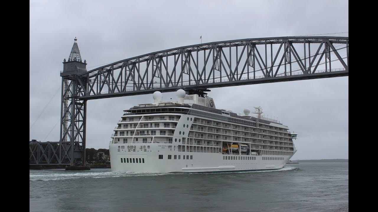
The Cape Cod Canal Structure - Mega Structure | National Geographic
Автор: Largest Submarines
Загружено: 2017-07-06
Просмотров: 2787
Описание:
Part of the Atlantic Intracoastal Waterway, the approximately 7 mile (11.3 km) long canal traverses the narrow neck of land joining Cape Cod to the state's mainland. Most of its length follows tidal rivers widened to 480 feet (150 m) and deepened to 32 feet (9.8 m) at mean low water, shaving 135 miles (217 km) off the journey around the Cape for its approximately 14,000 annual users.[2]
Most of the canal is located in Bourne, Massachusetts, but its northeastern terminus is in the town of Sandwich. Scusset Beach State Reservation lies near the canal's north entrance, the Massachusetts Maritime Academy near its south. A swift running current changes direction every six hours and can reach 5.2 miles (8.4 km) per hour during the receding ebb tide. The waterway is maintained by the United States Army Corps of Engineers and has no toll fees.[3] It is spanned by the Cape Cod Canal Railroad Bridge and two highway bridges—the Bourne and the Sagamore. Traffic lights at either end govern the approach of vessels over 65 feet (19.8 m).
Although being an artificial waterway, the canal is occasionally used by whales and dolphins[4] including critically endangered North Atlantic right whales and can cause closure of the canal
Повторяем попытку...
Доступные форматы для скачивания:
Скачать видео
-
Информация по загрузке: