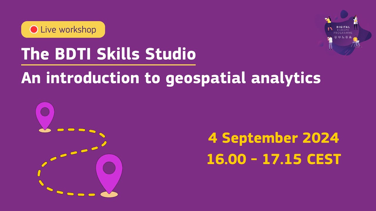
BDTI Skills Studio. An introduction to geospatial analytics
Автор: DigitalEU
Загружено: 2024-09-05
Просмотров: 266
Описание:
In this workshop, we will introduce geospatial data, explain why it is relevant, and show you how to build interactive geospatial applications. In the first part of the workshop, we will learn about the importance of Geographic Information Systems (GIS) and the different types of geospatial data (e.g. vector, raster, geo-temporal).
Then, we will demonstrate how to create an interactive data app using BTDI tools to visualise different crime rates in selected European countries and cities.
All the tools used during these workshops are free to EU public administrations to experiment with data.
https://big-data-test-infrastructure....
Register for upcoming live workshops and webinars:
https://big-data-test-infrastructure....
Learn more about BDTI:
https://big-data-test-infrastructure....
Discover how European public administrations are using BDTI:
https://big-data-test-infrastructure....
Contact the team:
https://big-data-test-infrastructure....
Apply for BDTI:
https://big-data-test-infrastructure....
The material and code developed in the webinar " introduction to geospatial analytics" is available here:
https://code.europa.eu/bdti/bdti-skil...
Повторяем попытку...
Доступные форматы для скачивания:
Скачать видео
-
Информация по загрузке:


![The EU Digital Identity Wallet Explained [Live Event]](https://imager.clipsaver.ru/DzORt8m0ux0/max.jpg)


