Скачать
Ghana Land Use Project (GALUP): Geospatial tools and Capacity building (w/ French captions)
Автор: UF/IFAS Agricultural and Biological Engineering
Загружено: 2023-05-09
Просмотров: 493
Описание:
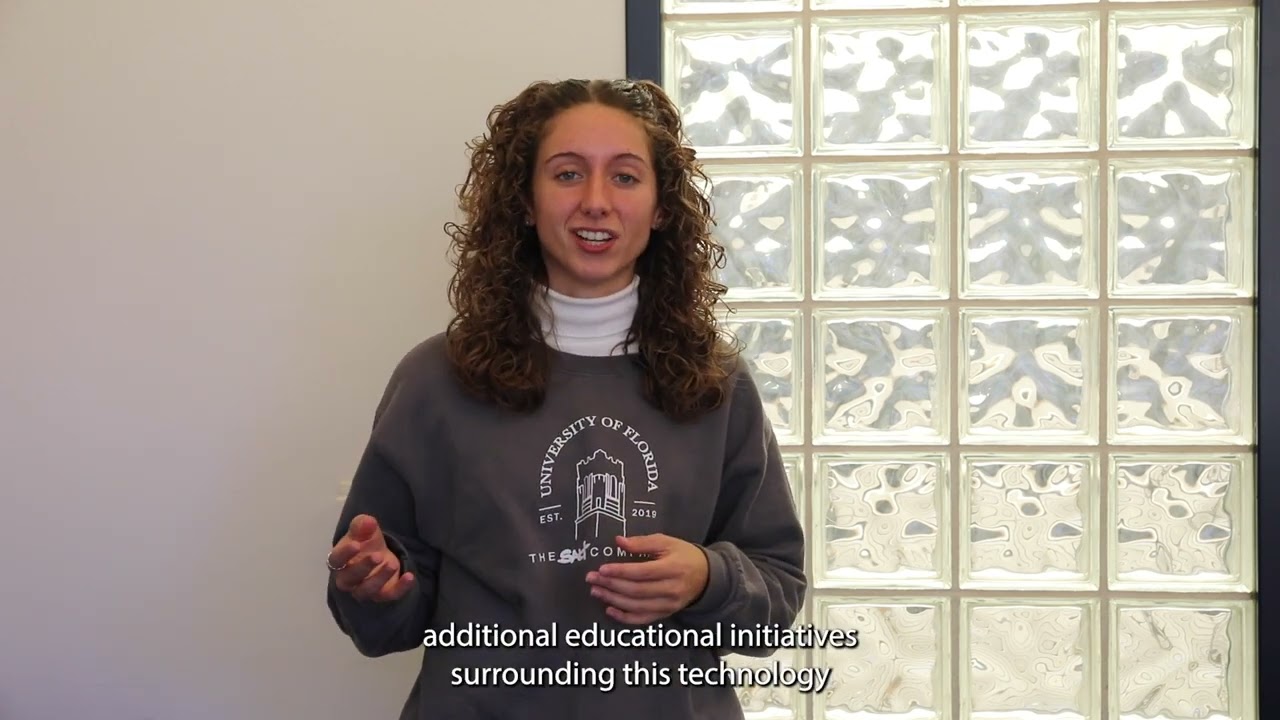
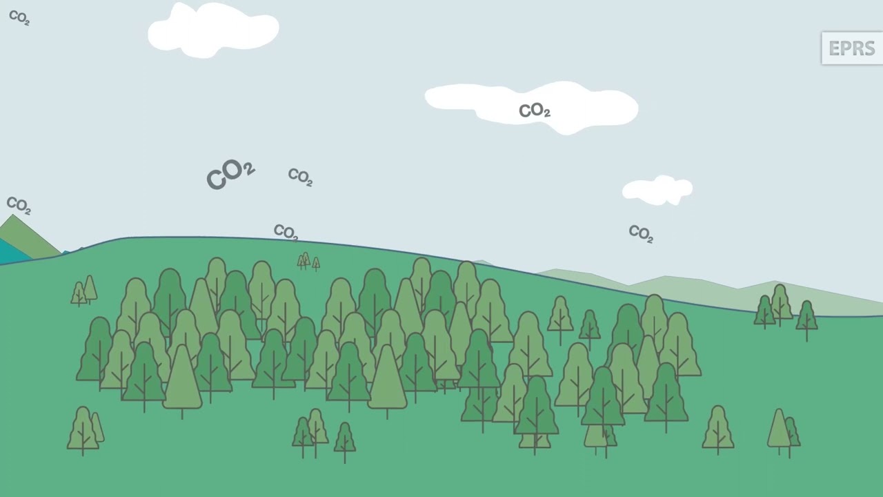
GALUP is a NASA-USAID funded SERVIR project that links deforestation, urbanization, and agricultural expansion trends from satellite data for land-use decisions in Ghana. SERVIR projects aim to help developing countries use Earth-observing satellites and geospatial technologies for managing climate-sensitive issues. The video was produced by WUFT Media Services. It was edited and narrated by James Sullivan.
Learn more about GALUP tools and training at http://galup.cersgis.org/ and https://servir-wa.github.io/GALUP/
Не удается загрузить Youtube-плеер. Проверьте блокировку Youtube в вашей сети.
Повторяем попытку...
Повторяем попытку...
Доступные форматы для скачивания:
Скачать видео
-
Информация по загрузке: