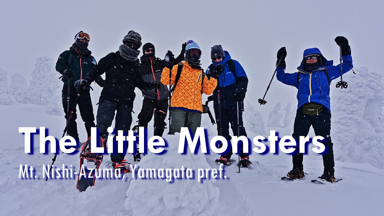
The Little Monsters | A snowshoe hiking adventure around Mt. Nishi-Azuma in Yamagata
Автор: Tokyo Hiking
Загружено: 2026-02-17
Просмотров: 11
Описание:
00:00 Opening
00:41 Day 1 / Omiya ⏩ Kitakata ⏩ Shirafu Onsen
02:14 Day 2 / Shirafu Onsen ⏩ Mt. Nishi-Azuma ⏩ Shirafu Onsen ⏩ Omiya
Nishi-Azuma, literally “Western Azuma Mountain Range,” consists of volcanic mountains lying on the border between Fukushima and Yamagata prefectures. The range reaches elevations of around 2,000 meters.
The highest point is Mt. Nishi-Azuma, which shares its name with the range and stands at 2,035 meters. Although commonly referred to as a peak, it is actually a broad, gentle plateau. This plateau offers ideal terrain for snowshoe hiking and is suitable for everyone from beginners to experts. It will be the destination of our trip.
A major city at the foot of Nishi-Azuma, Kitakata, is widely known throughout Japan as a “ramen city.” With more than 100 ramen shops in this small city, it boasts the highest number of ramen kitchens per capita in the country. Naturally, the quality is high due to the strong competition. But the best shop, at least for me, is strictly confidential—available only to our guests!
One reason behind this ramen culture is the abundance of clean water flowing from the surrounding mountains—an essential ingredient not only for the soup but also for the noodles. Kitakata is also renowned for its high-quality sake, made from the same crystal-clear water and locally grown rice. Aizu-Homare is a major brand from Kitakata that maintains a handcrafted quality rooted in long-standing tradition.
As the Azuma Mountain Range is volcanic, there are many hot spring retreats so-called Onsen. Shirafu Onsen is one of them, located at the foot of Mt. Nishi-Azuma on the Yamagata side. Many accommodations there have histories dating back to the Edo period, between17th to 19th century, preserving an authentic and rustic atmosphere that makes you feel as if you’ve stepped back in time.
The snowshoe hike begins from the top of the Tengendai Ski Area, where the trailhead sits at 1,800 meters. As a result, the hike is not strenuous, with less than 200 meters of elevation gain. However, you should not be complacent. Winter conditions above 2,000 meters in Tohoku are harsh, and visibility is often limited due to whiteout conditions. Because the plateau near the peak has no distinctive ridges or gullies, many hikers lose their way. Be sure to bring a GPS—or, preferably, an experienced guide.
This winter, we have seen far too many foreign hikers and skiers get lost, or even lose their lives, in the mountains of Japan. Let’s stop such tragedies and enjoy a wonderful hiking adventure with just a little mindful preparation.
🐾Visit our official website for the details:
https://www.tokyo-hiking.com
Повторяем попытку...
Доступные форматы для скачивания:
Скачать видео
-
Информация по загрузке: