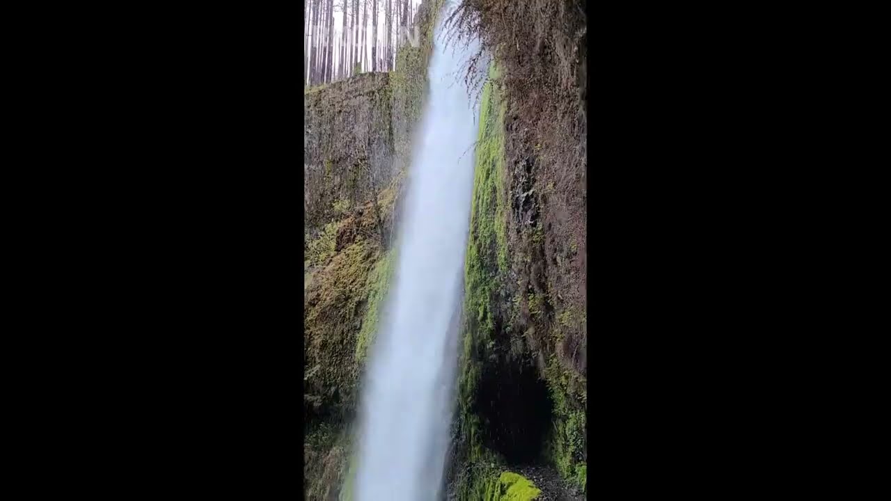
03 May 2022 Tunnel Falls, Eagle Creek Trail, Columbia River Gorge, Oregon
Автор: NewYorkRawVideos
Загружено: 2022-05-05
Просмотров: 170
Описание:
Tunnel Falls, the highlight of Eagle Creek Trail in Oregon's Columbia River Gorge. A wildfire sparked from a firework thrown by a teenager in 2017 resulted in 43000 acres burned destroying the area. While many of the trails nearby are still closed, the us forest service, oregon state parks and volunteers have worked to restore Eagle Creek Trail considered the crown jewel of the Columbia River Gorge. All the waterfalls on the trail leading up to Tunnel Falls and nearby Twister Falls were full and raging at this time of year fed by melting snow. As spring winds into summer the volume of water on the creek begins to slowly decrease and by the time September and October rolls around the volume of water off the mountain will slow down.
The day I went the Eagle Creek parking lot were closed due to repaving work along exit 41 (April 18-May 12, 2022) so there were very few people on the trail. The few people who were around hiked in from the closest parking lot at Toothrock Trailhead 1.2 miles away, or in my case, being reliant on public transportation, hiked in 2.5 miles from Cascade Locks. You can do this as a transit hike from Portland. Take the CAT Gorge Express bus from Gateway Transit Center. While the earliest 7 day a week bus is at 8.20am, you can catch an even earlier one at 6.50am but that bus is only Monday-Friday. Take it to cascade locks, then walk over the Historic Columbia River Highway, a paved asphalt greenway, to eagle creek campground; it's about 2.5miles (45 min) walk. punchbowl falls is a 2mile (~1 hr) walk up from the campground, and then another 4miles (2 hrs) walk to tunnel falls from punchbowl; total 8.5miles. that leaves enough time to get back to cascade locks to catch the bus back; total ~17-18 miles. I didn't have any hiking poles and you might need them because of one particular stream you have to cross several miles above punchbowl falls. Download a custom georeferenced 7.5' map of eagle creek trail from usgs.gov on demand topobuilder
Повторяем попытку...
Доступные форматы для скачивания:
Скачать видео
-
Информация по загрузке: