Measuring Moving Mountains (Yellowstone monthly update - February 2026)
Автор: USGS
Загружено: 2026-02-02
Просмотров: 2381
Описание:
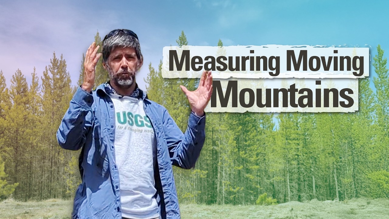
Meet a friend of ours. This friend has been monitoring changes of the ground surface in Yellowstone for decades and is so good that it can detect movement of just a few millimeters in magnitude (just a fraction of an inch). The friend? A continuous GPS station!
There are dozens of continuous GPS stations throughout the Yellowstone region, and they show us that the ground in Yellowstone is always changing, sometimes going up and sometimes going down, typically at a rate of about an inch (about 2-3 centimeters) per year. Since 2015, the caldera has been going down by about an inch or so per year. Prior to that, for a few years the ground was going up. For a few years before that, the ground was going down. It’s almost like Yellowstone is breathing. If you're interested in seeing data from the continuous GPS sites, check out the monitoring map on the Yellowstone Volcano Observatory website.
During the month of January 2026, the University of Utah Seismograph Stations, which monitors and operates the Yellowstone seismic network, located 100 earthquakes. Deformation measurements indicate subtle uplift along the north caldera rim and subsidence of the caldera itself. There were two confirmed eruptions at Black Diamond Pool in Biscuit Basin. Yellowstone volcano remains at normal, background levels of activity.
For questions, email [email protected]
Read Caldera Chronicles https://www.usgs.gov/volcanoes/yellow...
Visit Yellowstone Volcano Observatory website https://www.usgs.gov/volcanoes/yellow...
====================
====================
🔔 Subscribe to @usgs for more science content! 🔔
📊 Watch @USGSPresentations for presentations.
🔨 Watch @USGSTrainings for training/how-to related content.
Повторяем попытку...
Доступные форматы для скачивания:
Скачать видео
-
Информация по загрузке:

![[V3cam] Kīlauea volcano, Hawaii (south Halemaʻumaʻu crater)](https://image.4k-video.ru/id-video/gXKuUyKt8mc)


![[V1cam] Kīlauea volcano, Hawaii (west Halemaʻumaʻu crater)](https://image.4k-video.ru/id-video/tk0tfYDxrUA)

