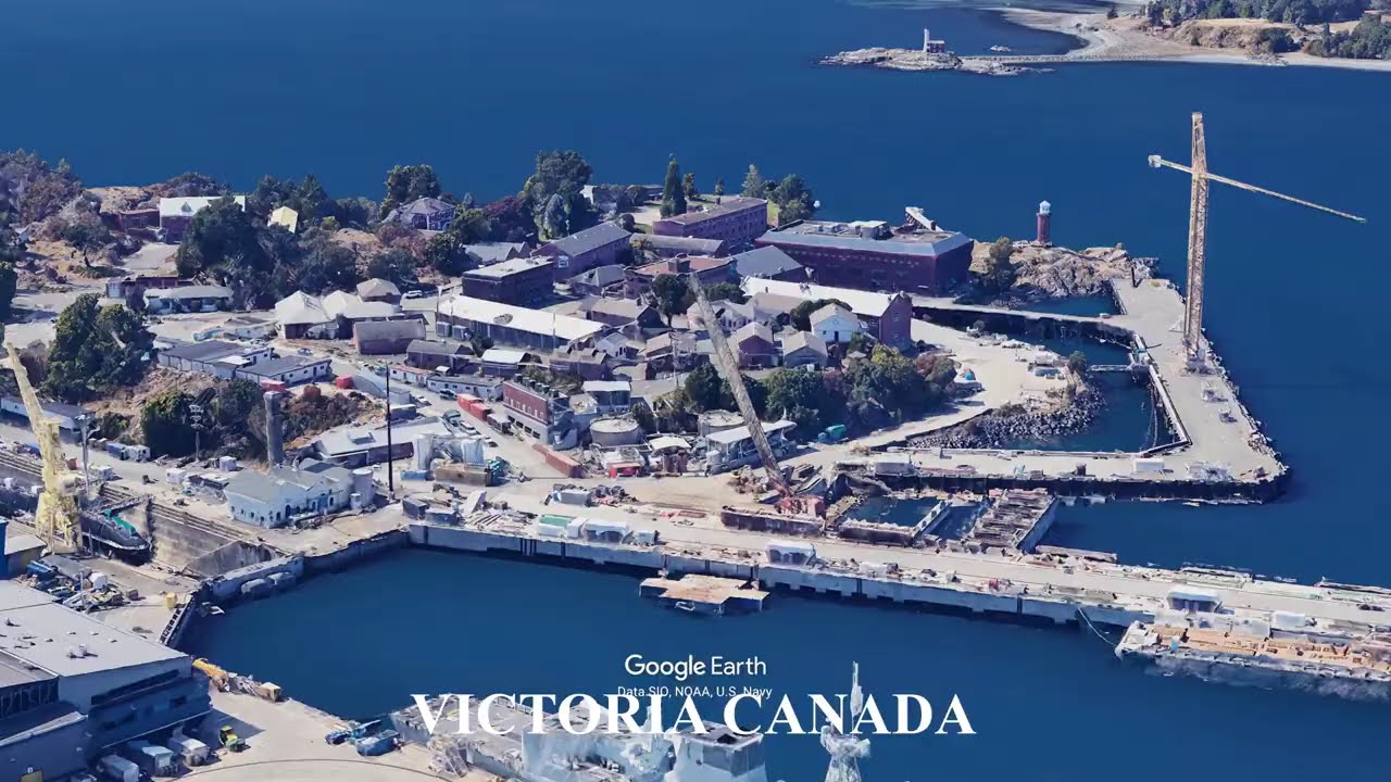
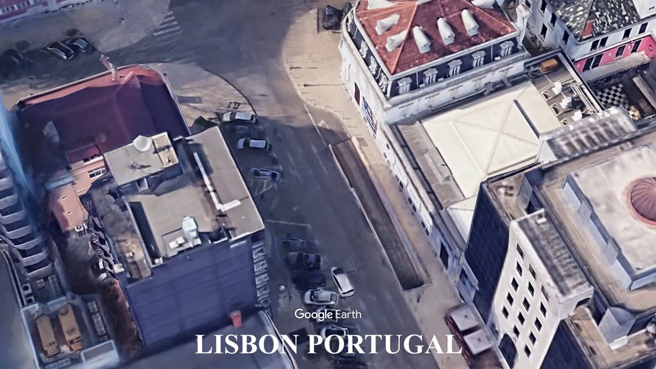
Lisbon Portugal - Geography That Shaped the City
Автор: Earth Views
Загружено: 2026-01-30
Просмотров: 73
Описание:
Lisbon developed along a deep estuary where hills, seismic forces, and Atlantic access shaped its form and expansion.
The city sits on steep hills overlooking the Tagus River estuary, one of the largest natural harbors in Europe. This geography supported maritime trade and exploration while constraining urban growth onto slopes and ridges. Lisbon’s position near major fault lines exposed it to powerful earthquakes, most notably in 1755, which reshaped the city’s layout, architecture, and infrastructure. River access, terrain, and seismic risk continue to define Lisbon’s urban structure.
This video uses Google Earth imagery to show how geography shapes cities and sites.
Geography text adapted from Wikipedia, article: Lisbon, Licensed under CC BY-SA 4.0
https://en.wikipedia.org/wiki/Lisbon
#Lisbon #Portugal #Geography #Cities #UrbanGeography #CoastalCities #Earth #GoogleEarth
Lisbon Portugal, Lisbon geography, Tagus River, Atlantic coast cities, urban geography, seismic risk, hills and terrain, physical geography, Iberian Peninsula, earth science, Google Earth
Повторяем попытку...
Доступные форматы для скачивания:
Скачать видео
-
Информация по загрузке: