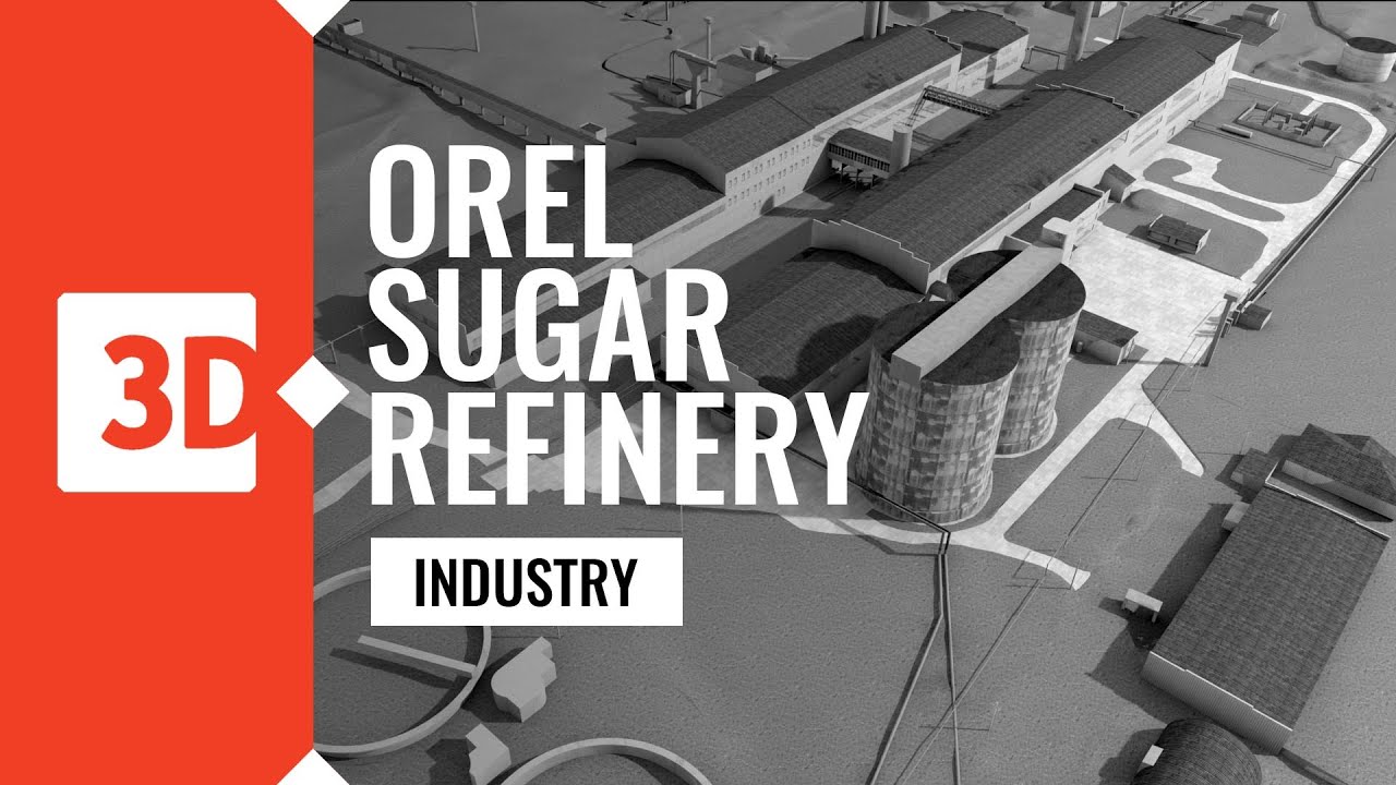
Laser scanning and 3D models of the Orel Sugar Refinery
Автор: 3Deling - 3D laser scanning
Загружено: 2016-12-08
Просмотров: 1276
Описание:
This Sugar refinery is situated in the Russian town of Orel, around 400km south of Moscow. The scope of works included all external details and installations. The scan data and model created was used for preliminary design for major refurbishment work. The site covered an area of around 65 hectares which we recorded with 160 scan positions. Our Long-range Reigl VZ400 was deployed in conjunction with total station measurement to provide a robust control solution. The whole project was carried out in the harsh conditions of a Russian winter.
More information: https://www.3deling.com/portfolio-ite...
Повторяем попытку...
Доступные форматы для скачивания:
Скачать видео
-
Информация по загрузке: