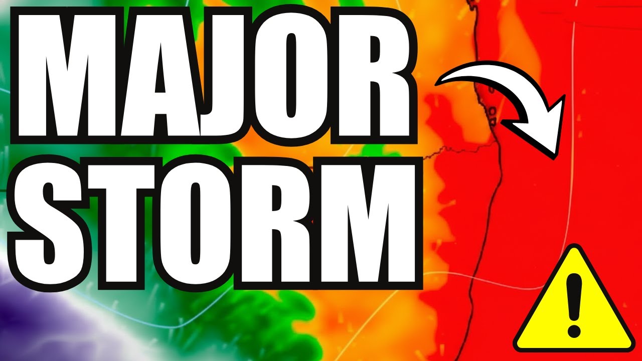
⚡️ MAJOR Storm Alert Thursday 2PM: Large Hail, Flash Floods VIC NSW ACT
Автор: Outback Weather Tracker
Загружено: 2026-01-12
Просмотров: 7
Описание:
🔴 SEVERE THUNDERSTORM WARNING - THURSDAY IS CRITICAL DAY
Bureau of Meteorology data and ACCESS/European model agreement confirms dangerous weather Thursday across southeastern Australia. Severe storms forecast 2PM Eastern time bringing large hail, damaging wind gusts, and flash flooding to Victoria, ACT, and New South Wales. Combined with ongoing gusty conditions and elevated fire danger - this is a complex, dangerous setup.
⛈️ HOUR-BY-HOUR FORECAST THIS WEEK:
WEDNESDAY: Wind pattern continues with compressed isobars across southeast. Gusty ACT, Snowy Mountains, Victoria (southeasterly 40-60km/h, gusts 80-90km/h exposed areas). Thunderstorms pushing into NSW. Victoria/Tasmania seeing couple of showers only. Queensland getting widespread heavy thunderstorms with flash flooding potential.
THURSDAY - ⚠️ MOST DANGEROUS DAY: Wind actually INCREASES. Thursday particularly gusty around VIC and SA with southeasterly winds reaching gale force in exposed spots during afternoon. Still mostly dry weather = dangerous fire danger combination. Rainfall forecast minimal (few millimetres, pale blue on scale). Eastern/southeastern Victoria slightly better falls brushing ACT and southern NSW.
THURSDAY 2PM - SEVERE STORM OUTBREAK: Eastern Victoria, ACT, New South Wales at HIGH RISK for severe thunderstorms. Threats include: Large hail capable of property damage, Damaging wind gusts, Localised flash flooding. Far north Queensland also has isolated severe storm potential. Main severe weather risk = southeast corner.
DRY LIGHTNING CONCERN: If storms drop rain where it's dry = good news. But dry lightning (strikes without rain) can start fires with elevated fire danger = REAL CONCERN.
FRIDAY ONWARD: Two low pressure systems in Coral Sea (Vanuatu area) being monitored closely. One affecting Queensland producing significant rainfall - possible 150mm in a day. Monsoon moisture ramping up across QLD pushing into northern NSW. Squash zone intensifies again near QLD-NSW border = strong winds especially mountains, Victorian Alps, Great Dividing Range, ACT. Heaviest rain southeast corner maybe 60-70mm some locations but most places 5-10mm only.
SATURDAY-SUNDAY: Those two tropical lows still off northeast - close monitoring continues. May merge into one or completely separate. Gusty easterly wind off Tasman Sea for southeast coastline. Inland areas quite warm despite conditions (föhn warming effect - air descending mountains compresses and heats up). High pressure south of Tasmania driving gusty southeasterly winds - possible gale force gusts again.
🎯 YOUR THURSDAY SURVIVAL CHECKLIST:
✓ VIC/SA: Secure ALL loose property items before Thursday afternoon
✓ Don't operate machinery that throws sparks on Total Fire Ban days
✓ Have fire plan ready - early evacuation is safest option, don't "wait and see"
✓ NSW/ACT: Monitor severe storm warnings from 2PM Thursday
✓ Bring in outdoor furniture, secure trampolines, check shed/garage doors
✓ Know flash flooding escape routes - water rises incredibly fast
✓ Keep phones charged, emergency kit accessible
✓ Cancel non-essential travel through mountain ranges Thursday
✓ Check on vulnerable family members and elderly neighbours BEFORE storms hit
📢 THIS IS NOT PANIC - THIS IS PREPARATION
Weather isn't catastrophic but demands your attention and action. Subscribe for updates ➡️ Turn on notifications ➡️ Share this warning with your community
Someone's life could depend on seeing this forecast
#SevereWeather #ThursdayStorm #AustraliaWeather #LargeHail #FlashFlood #DamagingWinds #VICWeather #NSWWeather #ACTWeather #QLDWeather #WeatherWarning #StormAlert #BushfireDanger #EmergencyAlert #AussieWeather #WeatherUpdate #StaySafe
Повторяем попытку...
Доступные форматы для скачивания:
Скачать видео
-
Информация по загрузке:


