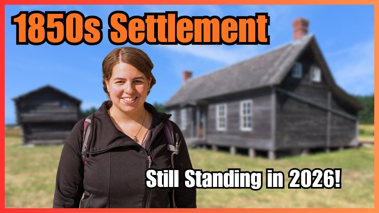
Washington’s 1850s Time Capsule: Ebey’s Landing National Historical Reserve
Автор: Searching for History
Загружено: 2026-02-08
Просмотров: 115
Описание:
We explore Ebey’s Landing National Historical Reserve in Washington: Fort Casey, Fort Ebey, the Ebey House & Blockhouse, Crockett Blockhouse, Davis Blockhouse, Alexander Blockhouse, Sunnyside Cemetery & Coupeville.
Music Attributions
Song 1: To the Top by Silent Partner (YouTube Audio Library License, no attribution is required)
Song 2: Snow Peaks Pt II by Chris Haugen (YouTube Audio Library License, no attribution is required)
Song 3: Yard Sale by Silent Partner (YouTube Audio Library License, no attribution is required)
Song 4: Hero’s Ascent by Chris Haugen (YouTube Audio Library License, no attribution is required)
Song 5: Spanish Moss by Chris Haugen (YouTube Audio Library License, no attribution is required)
Song 6: Birdseye Blues by Chris Haugen (YouTube Audio Library License, no attribution is required)
Song 7: Venkatesananda by Jesse Gallagher (YouTube Audio Library License, no attribution is required)
Song 8: English Country Garden by Aaron Kenny (YouTube Audio Library License, no attribution is required)
Song 9: Drifting at 432 Hz by Unicorn Heads (YouTube Audio Library License, no attribution is required)
Image Attributions
All public domain images.
Image 1: Unknown. Map of Ebey’s Landing National Historical Reserve. No date. National Park Service. https://commons.wikimedia.org/wiki/Fi....
Image 2: Thewellman. United States Model 1905 6-inch disappearing gun at Fort Wint, Subic Bay, Luzon, Philippine Islands. 1971. https://commons.wikimedia.org/wiki/Fi....
Image 3: Thewellman. Buffington-Crozier carriage details of 6-inch disappearing gun at Fort Wint, Subic Bay, Luzon, Philippine Islands. 1971. https://commons.wikimedia.org/wiki/Fi...
Image 4: Thewellman. Muzzle of a splinter-damaged 6-inch disappearing gun at Fort Wint, Subic Bay, Luzon, Philippine Islands. 1971. https://commons.wikimedia.org/wiki/Fi...
Image 5: General Land Office. Cadastral Survey Plat, Township No. 31, North, Range No. 1 East Willamette Meridian. Surveyor Gen. Office, Olympia, Washington Territory. 1856.
Image 6: U. S. Army Corps of Engineers, Tactical Map. Washington, Coupeville Quadrangle, Grid Zone “G.” United States Coast and Geodetic Survey. 1936.
Image 7: Washington State Department of Ecology. Aerial Photograph, 2016-17 Series. https://fortress.wa.gov/ecy/gisresour....
Image 8: Unknown. C.1850 photograph of Isaac Neff Ebey (1818-1857). Circa 1850. https://en.wikipedia.org/wiki/File:Is....
Image 9: Cassier’s Magazine. USS Massachusetts (ships, 1845). C.1894. https://commons.wikimedia.org/wiki/Fi....
Image 10: Sanborn Map Company. Sanborn Fire Insurance Map from Seattle, County, Washington. Alaska-Yukon-Pacific Exposition. 1909. Library of Congress: https://www.loc.gov/resource/g4284sm.....
Image 11: General Land Office. Cadastral Survey Plat, Township No. 32, North, Range No. 1 East Willamette Meridian. Surveyor Gen. Office, Olympia, Washington Territory. 1858.
Image 12: General Land Office. Cadastral Survey Plat, Township No. 31, North, Range No. 1 East Willamette Meridian. Surveyor Gen. Office, Olympia, Washington Territory. 1863.
Image 13: Wilkes, Charles. Map of Oregon Territory. 1841. Washington, D.C.: U.S. Dept. of Commerce, National Oceanic and Atmospheric Administration. https://www2.sos.wa.gov/legacy/maps/m....
Image 14: Hide, L. Black soil prairie. 2012. National Park Service. https://npgallery.nps.gov/AssetDetail....
Image 15: Unknown. Sunrise over Ebey’s Prairie. 2016. U.S. National Park Service. https://npgallery.nps.gov/AssetDetail....
Image 16: Stanley, John M. Puget Sound & Mt. Rainier Whitby’s Island. 1854. Yale University Art Gallery. https://artgallery.yale.edu/collectio....
Image 17: Unknown. The Ferry House and Straight of Juan de Fuca. 2016. U.S. National Park Service. https://npgallery.nps.gov/AssetDetail....
Image 18: Hide, L. Gray day at Ferry House. 2012. U.S. National Park Service. https://npgallery.nps.gov/AssetDetail....
Image 19: Unknown. Geese at Ferry House. 2008. U.S. National Park Service. https://npgallery.nps.gov/AssetDetail....
Image 20: Unknown. Captain Thomas Coupe. C.1895. https://en.wikipedia.org/wiki/File:Th....
Image 21: General Land Office. Cadastral Survey Plat, Township No. 32, North, Range No. 1 East Willamette Meridian. Surveyor Gen. Office, Olympia, Washington Territory. 1863.
Image 22: Sanborn Map Company. Sanborn Fire Insurance Map from Coupeville, Island County, Washington. 1909. Library of Congress: https://www.loc.gov/item/sanborn09151....
Повторяем попытку...
Доступные форматы для скачивания:
Скачать видео
-
Информация по загрузке: