Underwater in the Oakland Estuary
Автор: Destiny's Angel
Загружено: 2026-01-29
Просмотров: 2
Описание:
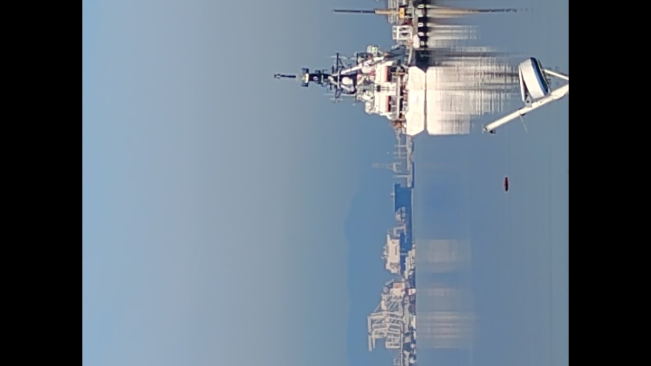
Welcome to the Oakland Estuary Watershed. This is a view of a Coast Guard vessel and the San Francisco skyline. This picture was taken from the Oakland-side of the slough or channel. Here is more information about the land when it was a "tidal creek".
Let's take a look at the history of the occupation of the shores of Oakland. For hundreds of years, ships &boats of all sizes had plied the waters of the San Antonia Slough. Today the San Antonio Slough is called the Oakland Estuary. It used to be a tidal creek. The Phone used the waterway not solely for transportation, but as a resource for willow and tile, fowl and their gees, clams and mussels. Over time, the shells piled up from the Phone harvesting the clams and two huge mounds stood the test of 3,000 years' time & portions of the mounds have been preserved in honor of the first known inhabitants in the area. The area where the mounds were discovered has been named Brooklyn Basin.
The Spanish arrived to inhabit the least side of the San Francisco Bay on the 1790s. By 1820, Don Luis Maria Peralta had settled on with his vaqueros. The Spanish also brought cattle from Spain to survive and establish a settlement in the area. In 1850, loggers had all but denied the hills East of the Slough of their redwood trees. New people arrived from the Sierra Madres where they had failed at striking it rich during the gold rush and they began to settle into the growing communities. The gold miners primarily settled on the shoreline at the end of the now, 14th Avenue.
Don Peralta began to build cattle yards and rending plants to sell his hides and meat. The loggers were thriving from the sale of the redwood. Soon, wharves appeared along the shores of what would become Oakland and Alameda. Ferry traffic & shipping started to be established on the settlements.
In the 1860s, railroads began running to the San Francisco Bay. Both sides of the San Antonio Slough were served by railroad lines. On 1869, the Central Pacific Railroad's Transcontinental railroad came to Oakland.
Mother nature's ways dominated the Slough area by shifting sands and sand bars in the shallow waters of the Bay. Due the shifting sand bars
impeding the ability of the ferries and ships to consistently transfer products and passengers, the Central Pacific Railroad built a swing bridge to connect Alameda and Oakland at Alice Street. A horse and pedestrian bridge had been built two years earlier near the location of the new swing bridge. The bridge had connected Alameda's West end with Oakland's Webster Street.
There were several discussions about developing the area to be more conducive to transportation needs of the growing settlement.
On 1868, leaders and developers who worked with Alfred Andrew A.A. Cohen on Alameda and men who worked with Horace Carpentier in Oakland collaborated with Southern Central Pacific's owners to connect railroads from Alameda to Oakland. Since Cohen owned the San Francisco railroad trains, wharves and ferries, this was an expansion of the current business. Carpentier controlled the Oakland waterfront and the adjacent terra firma that the Central Pacific needed for the right of way to its deep-wharf. Carpentier formed the Oakland Waterfront Company.
Mother Nature's tidal shifts and resultant shifting of sand and silt in the Oakland and Alameda shorelines was creating traffic build up on the land to resolve the transportation logistics. On 1871, the United States Army Corps of Engineers designed a solution to make the Alameda and Oakland tidal creek area more accessible for the transportation of goods and people
Cologne George H. Mendell presented Congress with a five-step plan to deepen the Slough and harness the tides to scout the shipping channels.
Step 1 was to construct training walls that stretched out onto the open waters of the San Francisco Bay. Today, land covers the waters north of the Western Pacific Railroad Wharf & Mole & the northern training wall. The waters south of the South Pacific Coast Railroad Wharf & Mole & the south are now home to Alameda Point.
Following the installation of the training walls at the Oakland Estuary, the region underwent a massive industrial transformation. The training walls were designed to "train" the water to flow in a specific channel, preventing the formation of the sandbars which had been problematic for the ferries and boats since the onset.
Повторяем попытку...
Доступные форматы для скачивания:
Скачать видео
-
Информация по загрузке:


