“Topographic Survey Using DGPS | CSTI Students Live Practical 📡”
Автор: Civil Survey Training institute
Загружено: 2025-10-16
Просмотров: 1247
Описание:
“Topographic Survey Using DGPS | CSTI Students Live Practical 📡” #CivilEngineering #CSTI #Shorts
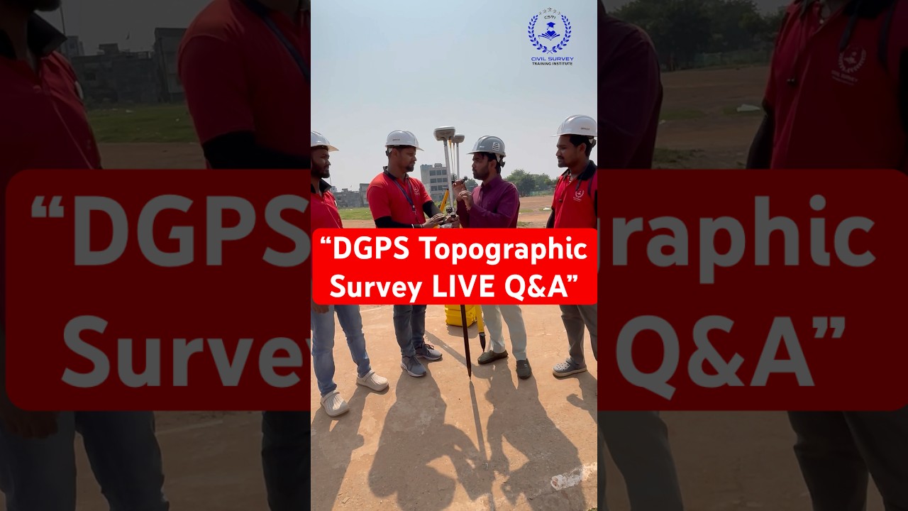
Watch our CSTI Students performing Real Site Topographic Survey under expert supervision.
Learn how professional Land Surveyors use Total Station, DGPS, and Drone Technology to measure and map natural and man-made features of the land surface.
Understand how contour mapping, elevation data collection, and digital terrain modeling (DTM) are done step-by-step for real engineering and construction projects.
🎓 Join CSTI – India’s No.1 Land Surveyor Training Institute
Master Auto Level, Total Station, DGPS, Drone Survey & AutoCAD (2D & 3D) with 100% Practical Field Training and Real Project Experience.
💯 Placement Support in India & Gulf Countries.
📍 Institute Details:
Civil Survey Training Institute (CSTI)
CHAUDHARY AAKASH ENCLAVE 30-B,
1st Floor, Building Known as Aakash Choudhary,
Road No.7, Main Road, Jawaharnagar, Mango,
Jamshedpur, Jharkhand
📞 Contact Us: +91-7250754216, 8294556904
📧 Email: [email protected]
🌐 Measure Your Future with CSTI
#CSTI #TopographicSurvey #Surveying #CivilEngineering #LandSurveyor #SurveyTraining #AutoLevel #TotalStation #DGPS #DroneSurvey #AutoCAD #ContourSurvey #CSTIStudents #CivilSurveyTraining
Повторяем попытку...
Доступные форматы для скачивания:
Скачать видео
-
Информация по загрузке:


