FINAL UPDATE: Heavy Snow, Dangerous Ice, Travel Impacts Likely
Автор: WX Rundown - 24-7 Weather Alerts
Загружено: 2026-01-23
Просмотров: 174
Описание:
National Winter Storm Forecast | Jan 23 – Jan 27, 2026
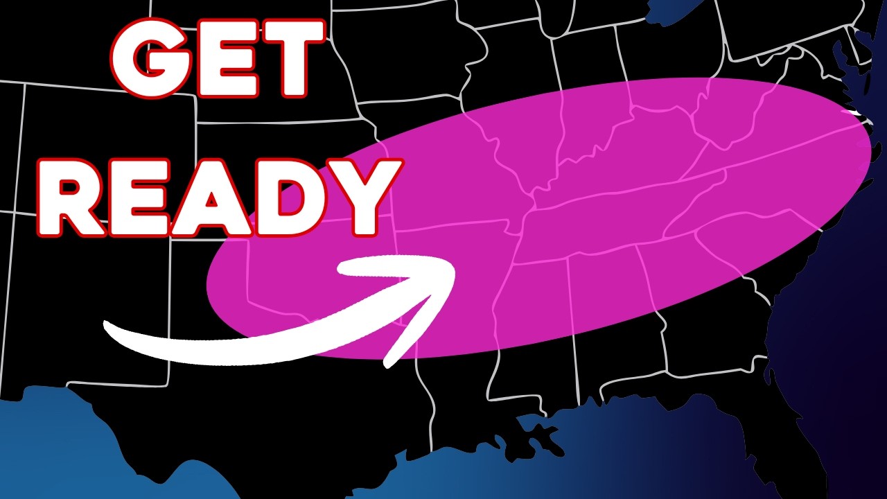
A widespread and impactful winter storm will bring a combination of heavy snow and significant ice accumulation across much of the central and eastern United States through the weekend and early next week, creating dangerous travel conditions and the potential for power disruptions.
Snowfall Outlook:
The heaviest snowfall is expected across southern New England, where 16–20 inches are forecast inland and 20–24 inches are possible near the Massachusetts coastline, including the Boston metro area. Snowfall totals taper northward across northern New England, with 12–16 inches across parts of New Hampshire and interior Maine, and 6–12 inches farther north into northern Maine.
Across the Mid-Atlantic and Ohio Valley, widespread 6–12 inches of snow are expected, with locally higher totals of 12–16 inches in parts of Pennsylvania and western New York. Snowfall amounts decrease toward the southern edge of the system, with 2–6 inches possible across portions of the Tennessee Valley and southern Appalachians.
In the Midwest, snow spreads from the Plains through the Great Lakes. 6–12 inches are forecast from eastern Kansas and Missouri into Illinois, Indiana, and Ohio, with 12–16 inches possible across parts of Oklahoma. Lighter totals of 2–6 inches extend northward into portions of Nebraska, Iowa, Wisconsin, and Michigan.
Ice Accumulation Outlook:
In addition to heavy snow, a significant freezing rain and ice event is expected across parts of the southern Plains, Lower Mississippi Valley, Tennessee Valley, and the Appalachians.
The highest ice accretion totals of 0.25–0.75 inches are forecast from eastern Texas and southern Arkansas into northern Mississippi and western Tennessee. Parts of Virginia and northern North Carolina could also see localized ice accumulations in the 0.25–0.75 inch range in some areas, which may lead to significant power outages, downed trees, and extremely hazardous travel conditions.
Surrounding this corridor, 0.10–0.25 inches of ice is expected from north Texas through the Mid-South, Kentucky, and portions of West Virginia and western Virginia, while lighter but still impactful icing of 0.05–0.10 inches is possible across parts of the Deep South, Carolinas, and coastal Mid-Atlantic.
Impacts:
Travel disruptions are likely across multiple regions due to heavy snow rates, ice accumulation, reduced visibility, and dangerous road conditions. Small shifts in storm track or temperature profiles could significantly alter local impacts.
For the latest radar, updates, and forecast refinements, visit WXRundown.com/forecast, and submit your snow and ice photos at WXRundown.com/Submit.
Повторяем попытку...

Доступные форматы для скачивания:
Скачать видео
-
Информация по загрузке:


