Скачать
3DGS Demo 1
Автор: WADiT Aerial Surveys
Загружено: 2026-02-20
Просмотров: 11
Описание:
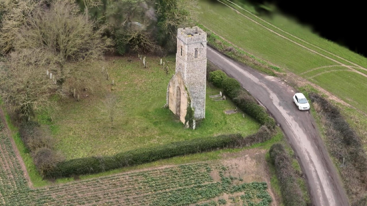
Welcome to WADiT Aerial Surveys.
3D Gaussian Splat (3DGS) models—high-fidelity, immersive visualisations generated directly from aerial imagery. These models provide realistic, interactive representations of sites, structures, and landscapes, ideal for marketing, planning, inspection, and digital asset documentation.
Stay tuned to see how WADiT turns aerial data into powerful visual and analytical tools.
https://waditaerialsurveys.co.uk/
Не удается загрузить Youtube-плеер. Проверьте блокировку Youtube в вашей сети.
Повторяем попытку...
Повторяем попытку...
Доступные форматы для скачивания:
Скачать видео
-
Информация по загрузке: