Скачать
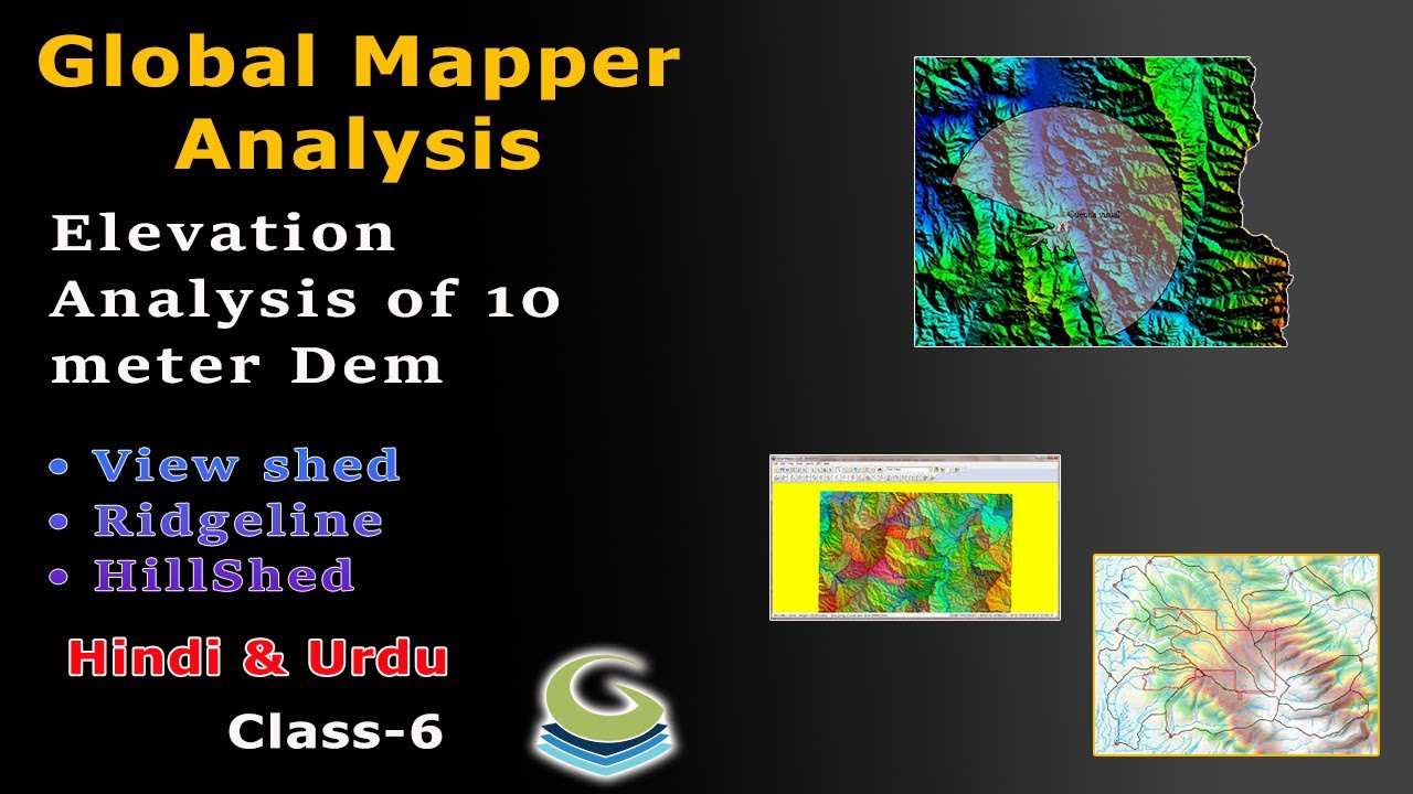
How Create ViewShed, Ridg Line & Hill Shed l 10m Dem Analysis Global Mapper l Class-6 l Hindi & Urdu
Автор: Gis Platform
Загружено: 2024-11-24
Просмотров: 92
Описание:
Aslamu alekum!
I am gonna tell you! A geographic information system (GIS) is a type of database containing geographic data (that is, descriptions of phenomena for which location is relevant), combined with software tools for managing, analyzing, and visualizing those data.
#Gis #OnlineGis #Cartography #Digitalmapping #globalmapper #DemAnalysis
Не удается загрузить Youtube-плеер. Проверьте блокировку Youtube в вашей сети.
Повторяем попытку...
Повторяем попытку...
Доступные форматы для скачивания:
Скачать видео
-
Информация по загрузке: