ycliper

Популярное

Музыка Кино и Анимация Автомобили Животные Спорт Путешествия Игры Юмор

Интересные видео

2025 Сериалы Трейлеры Новости Как сделать Видеоуроки Diy своими руками

Топ запросов

смотреть а4 schoolboy runaway турецкий сериал смотреть мультфильмы эдисон
Скачать

QGIS 4 Arch – LiDAR to DEM with CloudCompare and QGIS

Автор: ArchaeoSquatch

Загружено: 2020-11-15

Просмотров: 13150

Описание: QGIS4Arch is a free online course for learning QGIS, an open source geographic information system (GIS) software package. This course is for those who works with cultural heritage resources, including archaeologists, architectural historians, and historians. The course is designed to take you from beginner to expert. This video uses QGIS version 3.16.

This lessons explores the use of open source tools to convert LiDAR point clouds to a digital elevation model (DEM). DEMs are regularly used by archaeologists to identify and interpret sites.

Timestamps
0:10 - Introduction.
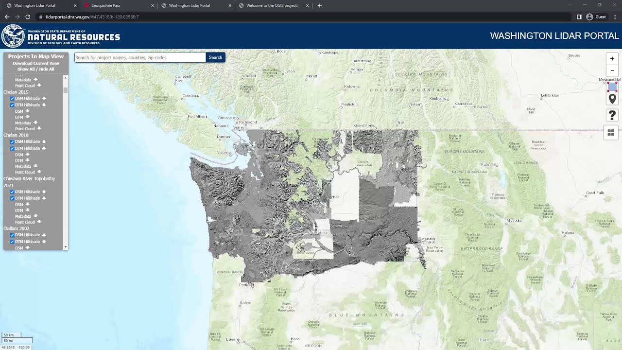
1:10 - Downloading LiDAR data.
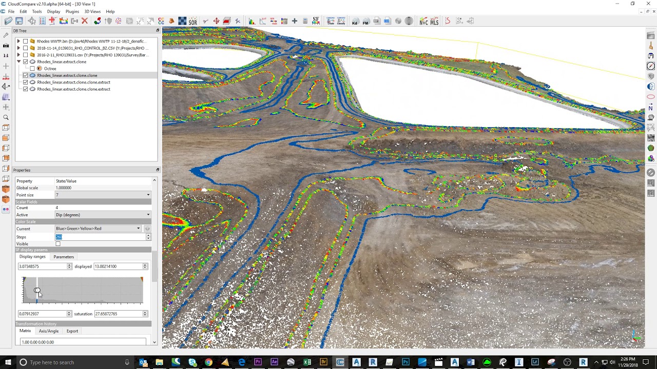
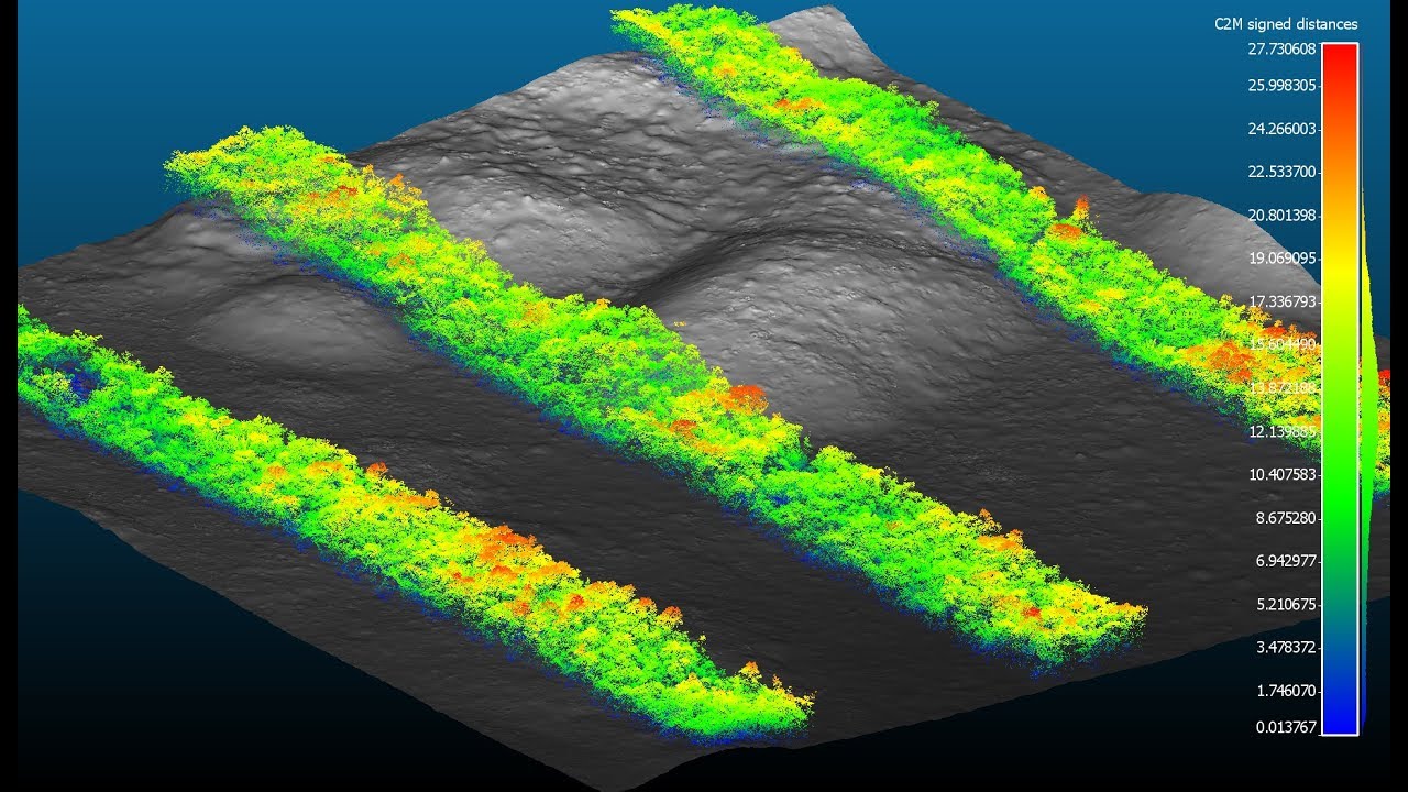
2:11 - Processing LiDAR data with CloudCompare.
7:08 – Converting point clouds into DEMs with QGIS.
10:12 – Working with multiple tiles in CloudCompare.

Data Links:
The National Map Download - https://viewer.nationalmap.gov/basic/
Direct link to Monks Mound LiDAR Tile - https://tinyurl.com/yxzkevod
Direct link to southern tile - https://tinyurl.com/y362v78v
Direct link to western tile - https://tinyurl.com/y36axla6
Direct link to southwestern tile - https://tinyurl.com/yyhgs9a7

Software Links:
CloudCompare - https://cloudcompare.org/
QGIS - https://qgis.org/en/site/
LASTools - https://rapidlasso.com/lastools/

Related Tutorials
QGIS 4 Arch - LiDAR to DEM with LASTools, covers installing LASTools in QGIS and alternative method for working with LiDAR tiles -    • QGIS 4 Arch - LiDAR to DEM with LASTools  
QGIS 2 Minute Tutorials – Basemaps o’ Plenty, add more basemaps to QGIS -    • QGIS 2 Minute Tutorials - Basemaps o' Plen...  

Не удается загрузить Youtube-плеер. Проверьте блокировку Youtube в вашей сети.
Повторяем попытку...
QGIS 4 Arch – LiDAR to DEM with CloudCompare and QGIS

Поделиться в:

Доступные форматы для скачивания:

Скачать видео

  • Информация по загрузке:

Скачать аудио

Похожие видео

QGIS 4 Arch - Satellite Remote Sensing with Sentinel-2 (SCP, NDVI, Band Combos, Raster Calculator)

QGIS 4 Arch - Satellite Remote Sensing with Sentinel-2 (SCP, NDVI, Band Combos, Raster Calculator)

QGIS 4 Arch – LiDAR to DEM & DSM with CloudCompare (with spaghettification fix!)

QGIS 4 Arch – LiDAR to DEM & DSM with CloudCompare (with spaghettification fix!)

Creating a Topo Map From Lidar Data in QGIS

Creating a Topo Map From Lidar Data in QGIS

Использование LiDAR с открытым исходным кодом в археологии

Использование LiDAR с открытым исходным кодом в археологии

Editing LiDAR data in QGIS 3.42 and beyond

Editing LiDAR data in QGIS 3.42 and beyond

QGIS 4 Arch - LiDAR to DEM with LASTools

QGIS 4 Arch - LiDAR to DEM with LASTools

LIDAR for Metal detecting with QGIS - get started in under 15 mins - increase your finds rate.

LIDAR for Metal detecting with QGIS - get started in under 15 mins - increase your finds rate.

CloudCompare: DEM creation through the rasterize tool

CloudCompare: DEM creation through the rasterize tool

QGIS 4 Arch – A Simple Archaeological Predictive Model

QGIS 4 Arch – A Simple Archaeological Predictive Model

Interpretation of LiDAR visualizations using QGIS (5/6)

Interpretation of LiDAR visualizations using QGIS (5/6)

Awesome Lidar Visualizations with QGIS 3D View!

Awesome Lidar Visualizations with QGIS 3D View!

Automated Slope Breakline Classification with CloudCompare

Automated Slope Breakline Classification with CloudCompare

LiDAR LAStools with QGIS.  Create DEM and Contour lines ✔️✔️✔️

LiDAR LAStools with QGIS. Create DEM and Contour lines ✔️✔️✔️

Point Cloud Processing with LiDAR Tools of WhiteboxTools in QGIS

Point Cloud Processing with LiDAR Tools of WhiteboxTools in QGIS

How to create DEM, DSM and normalized DSM? Cloudcompare

How to create DEM, DSM and normalized DSM? Cloudcompare

UMEP 3: Generating spatial input data (DEM, DSM, CDSM) from a LiDAR point cloud

UMEP 3: Generating spatial input data (DEM, DSM, CDSM) from a LiDAR point cloud

Point cloud processing in QGIS 3.32: a practical overview for LiDAR data

Point cloud processing in QGIS 3.32: a practical overview for LiDAR data

QGIS 4 Arch - Working with Vector Data

QGIS 4 Arch - Working with Vector Data

Canopy Height Model CHM from Air LiDAR with Cloudcompare

Canopy Height Model CHM from Air LiDAR with Cloudcompare

Создание 3D-карт в QGIS

Создание 3D-карт в QGIS

© 2025 ycliper. Все права защищены.


  • Контакты
  • О нас
  • Политика конфиденциальности


Контакты для правообладателей: [email protected]