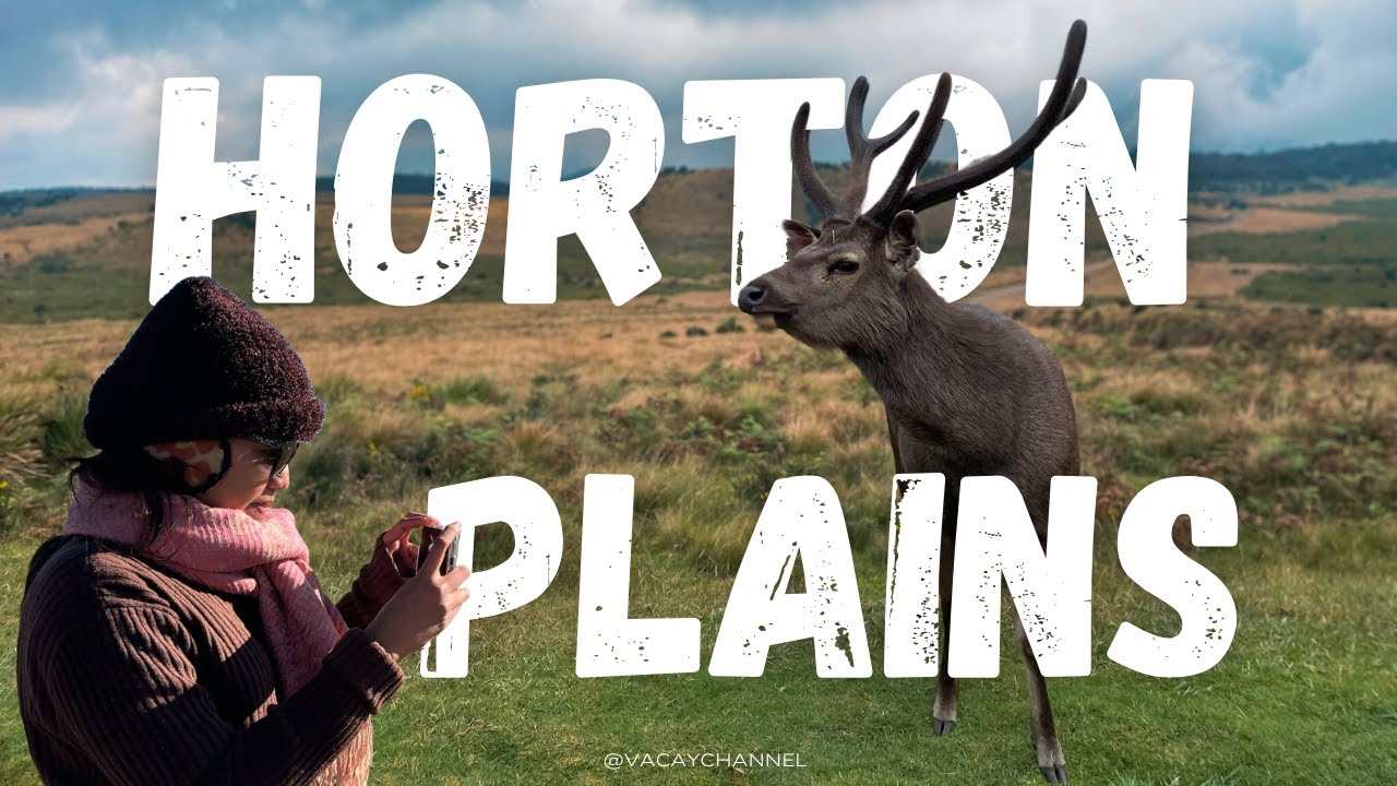
Horton Plains National Park | හෝටන් තැන්න | VVIP SRI LANKA
Автор: VVIP SRI LANKA
Загружено: 2021-08-11
Просмотров: 39553
Описание:
Horton Plains National Park , හෝටන් තැන්න
General description of Horton Plains National Park
Horton Plains National Park is situated in the Central Province of Sri Lanka of Nuwara Eliya District. It is positioned at the eastern boundaries of the Upper Montane Forest Range (1500 meters-2524 meters above sea level) of Central Highland of Sri Lanka. The plateau of Horton Plains which is at a nominal elevation of 2100 meters also bears the 2nd and the 3rd highest peaks of Sri Lanka, namely Kirigalpoththa (elevation 2389 meters) and Totupolakanda(elevation 2357 meters). The area of the Horton Plains is 3160 ha. or 31.6 sq. km. and is about 8% of the total upper montane forests and grasslands of Sri Lanka. The rainwater of Horton Plains plateau is drained through tributaries to Mahaveli river to the North (through Uma Oya), Walawe river to the South (through Belihul Oya and Kiriketi Oya) and Kelani river to the West (through Bogawantalawa Oya). Horton Plains has an average rainfall figure of around 5000mm though the surrounding areas have an average of 2540mm. Horton Plains gets more rain from North West monsoon and throughout the year even the minimum rain fall per month for the area had been 100mm. The mean annual temperature for the area is about 13C . One can expect temperatures as high as 27C during day and 5C during nights. The distance to Horton Plains from Nuwara Eliya is 32 km.
Directions to Horton Plains National Park
One can reach Horton Plains by main road or rail. The most common approach is by road either from North via Pattipola or from South via Ohiya. If coming by rail one can get down either at Pattipola or Ohiya and walk all the way or arrange some means of transport locally. No public transport is available along the road which runs through the National Park.
An entrance fee is charged from visitors and also for the vehicles that enters the park.
History of Horton Plains Sanctuary
Prior to the British rule in the country, this area was called Maha Eliya. Around 1820s the British came to know about this unique nature resource. It was later renamed as Horton Plains after the then British Governor Sir Robert Horton (Governor from 1832-1837). Sir Samuel Baker made this area popularised during his hunting encounters. Two other British planters, namely Tomas Farr and H.Anderson who had estates near to Horton Plains had lodges built to facilitate their hunting episodes .During the British era, this area was under protection from the Administration Order of 1873, which prohibited cutting of forests above the altitude of 5000 feet in the island. Horton Place received the status of a National Park on 16th March 1988. Prior to that from 5th Dec. 1969 it had been a Nature Reserve . The Central Highland of Sri Lanka, which Horton Plains National Park is a part of it, received the status of a " Mixed Cultural and Natural World Heritage Site" on 2nd August 2010.
The Small World's End at Horton Plains
The time taken to reach Small worlds End was about 25 minutes from the brick sign post at trail division and 37 minutes from the Park Entrance Watch Post. The nature had been exceptionally kind for this fascinating tour and the Small World's End view was fabulous as can be seen above.The escarpment at Small Worlds End drops 274 m at this point.
The Big World's End at Horton Plains
It takes about another 25 minutes to reach the Big World's End from the Small World's End. It had taken 1 hour 10 minutes to reach here from Park Entrance Watch Post with observations of surroundings and photographing the landscape.The unobstructive view from Big World's End made it possible to photograph Uda Walawe reservoir and beyond with a shear drop of 2000m from the point of observation and the plains of Dry Zone.The escarpment at Big Worlds End drops 884 m at this point.Though the three dimensional effect one see in real life by standing at an edge of these escarpments cannot be reproduced in these photographs ,it still gives a fair idea on the thrilling and awesome surrounding landscaping in these two places.
Baker's Falls" Waterfall at Horton Plains
To access this fabulous waterfall , one needs to travel through the cloud forest through a path from the trail. There are two access points to the waterfall. One may easily get this trail bypassed but if one leads through it, the path takes you to the bottom of the waterfall that will show many vivid landscapes of the waterfall and surroundings.
Chimney Pool
The Chimney Pool is situated between Baker's Fall and the brick sign post at Y junction which had been mentioned earlier. This man made bund using granite has created a water mass in an elevation above the pool below and flows into the pool as a kind of a waterfall. The pool is in abundance with Kekatiya plants ( Aponogeton jacobsenii) which also can be seen in the stream running along side of the trail at some places.
Повторяем попытку...

Доступные форматы для скачивания:
Скачать видео
-
Информация по загрузке:


![Перу. Там, где начинается Амазонка / Peru. Where the Amazon begins [EN subt]](https://imager.clipsaver.ru/XnaUBfA8oYY/max.jpg)