Скачать
Barbados' First Deep Sea Bathymetric Survey and Why It Matters
Автор: Barbados Marine Spatial Plan
Загружено: 2025-11-17
Просмотров: 309
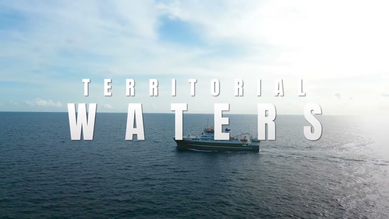
Описание: As part of the Barbados Marine Spatial Planning process, the Government of Barbados is undertaking ground breaking surveys to collect crucial data needed for sustainable marine management. In partnership with the Marine Institute of Ireland, the first survey to map a portion of the island's Exclusive Economic Zone got underway between August and September of 2025.
Не удается загрузить Youtube-плеер. Проверьте блокировку Youtube в вашей сети.
Повторяем попытку...
Повторяем попытку...
Доступные форматы для скачивания:
Скачать видео
-
Информация по загрузке:


