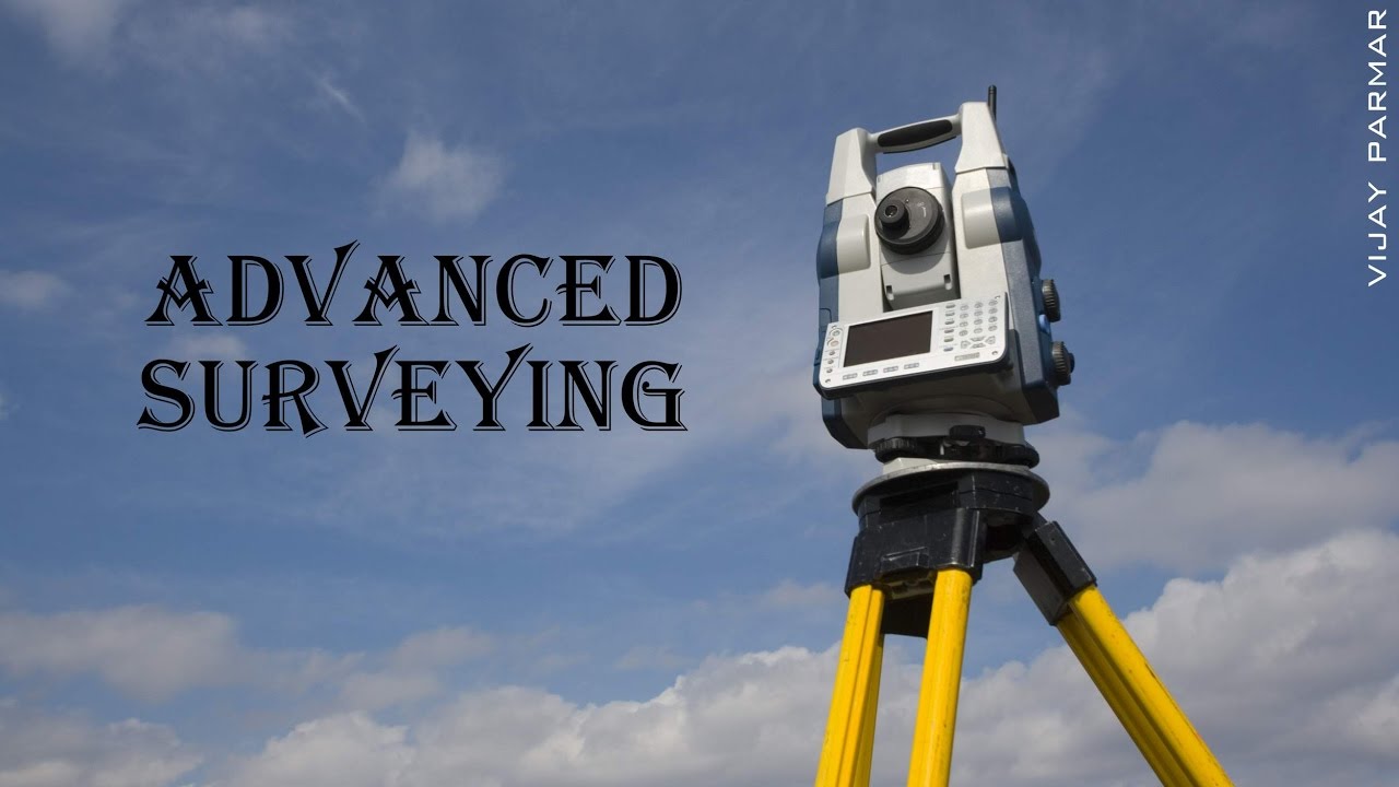
Lecture 1 | Introduction | Advanced Surveying
Автор: Vijay Parmar
Загружено: 2017-01-12
Просмотров: 34066
Описание:
This video course is useful for Civil engineering students whom have subject of : Modern Surveying / Advanced Surveying / Surveying 2 and 3.
*************************
Content of this video series :
★ Tacheometric Surveying :
Introduction, purpose, principle, instruments, stadia constants, methods of tacheometry, anallatic lens, subtense bar, field work in tacheometry, reduction of readings, errors and precisions.
★ Geodetic Surveying :
Principle and Classification of triangulation system- Selection of base line and stations- Orders of triangulation- Triangulation figures- Station marks and signals- marking signals- Extension of base, Reduction of Centre, Selection and marking of stations
★ Theory of Errors :
Introduction, types of errors, definitions, laws of accidental errors, laws of weights, theory of least squares, rules for giving weights and distribution of errors to the field observations, determination of the most probable values of quantities.
★ Field Astronomy:
Introduction, purposes, astronomical terms, determination of azimuth, latitude , longitude and time corrections to the observations.
★ Aerial photogrammetry :
Introduction, Principle, Uses, Aerial camera, Aerial photographs, Definitions, Scale of vertical and tilted
photograph,, Ground Co-ordinates, Displacements and errors, Ground control, Procedure of aerial survey, Photomaps and mosaics, Stereoscopes, Parallax bar.
★ Modern Surveying Instruments:
Introduction, Electromagnetic spectrum, Electromagnetic distance measurement, Total station, Digital self-leveling levels , scanners for topographical survey.
★ Remote Sensing-
Introduction, Principles of energy interaction in atmosphere and earth surface features, Image interpretation techniques, visual interpretation, Digital image processing, Global Positioning system
★ Geographical Information System-
Definition of GIS, Key Components of GIS, Functions of GIS, Spatialdata, spatial information system Geospatial analysis, Integration of Remote sensing and GIS, and Applications in Civil Engineering.
*********************
VIJAY PARMAR #VIJAYPARMAR
Повторяем попытку...
Доступные форматы для скачивания:
Скачать видео
-
Информация по загрузке: