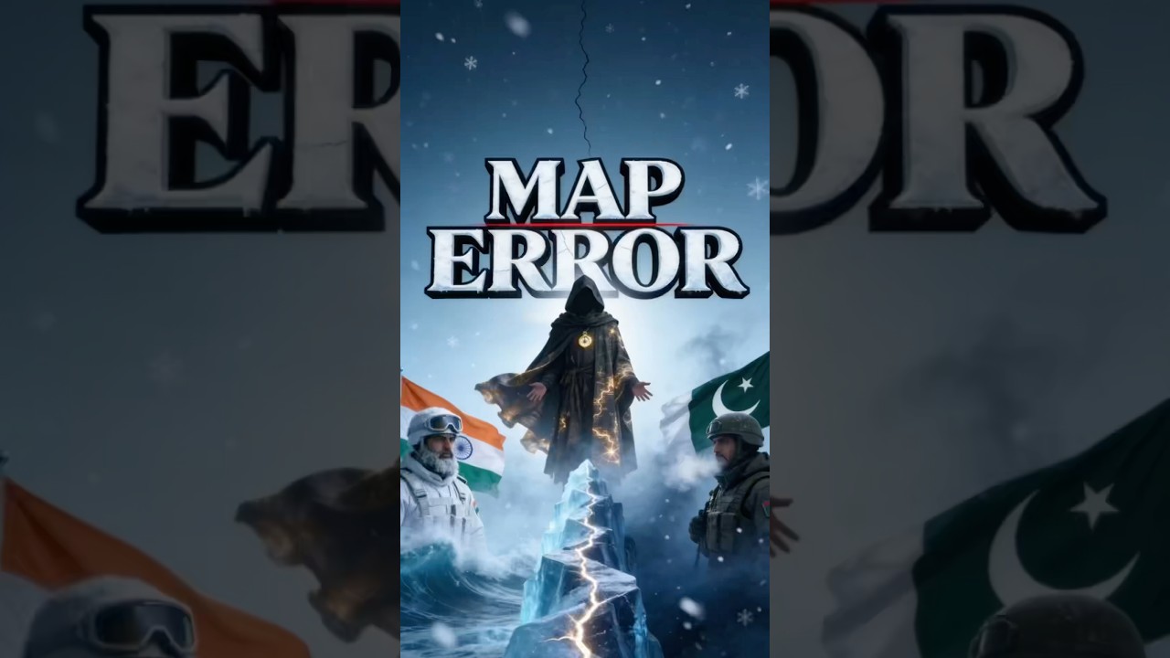
Siachen Glacier: India & Pakistan's Map Error
Автор: The Map Mysteries
Загружено: 2026-01-13
Просмотров: 1112
Описание:
Siachen Glacier: India & Pakistan's Map Error
Did you know a single vague sentence on a map created the world's deadliest and highest battlefield?
The Siachen Glacier is known as the "Third Pole," a frozen wasteland in the Himalayas where temperatures plummet to -50°C. But the reason India and Pakistan are locked in combat here isn't just about territory—it's about a punctuation mark on a map that nobody thought to check.
In 1949, the Karachi Agreement defined the ceasefire line only up to map coordinate NJ9842. Beyond that, the agreement simply stated the line would run "North to the Glaciers." This vague wording left a massive, unmapped gap in the mountains, leading to a silent "race to the top" decades later.
In 1984, the Indian Army launched Operation Meghdoot, a daring high-altitude mission that secured the strategic heights of the Saltoro Ridge just days before Pakistan could get there. Since then, the Siachen conflict has become a standoff where the environment kills more soldiers than bullets do.
In this episode of Map Mysteries, we uncover the fatal cartographic error that turned a "No Man's Land" into a forever war between two nuclear powers. From the logistics of delivering supplies by helicopter to the extreme human cost, this is the story of a war fought where humans aren't meant to survive.
Subscribe for more geography anomalies, border disputes, and hidden maps! 🌍
👉 Follow us on Instagram: https://www.instagram.com/themapmyste...
#geography #map #siachen #siachenglacier #facts #kashmir #india #pakistan #operationmeghdoot #geopolitics #geographythroughmaps #geographyfacts #geographynow #gk #shorts
Повторяем попытку...
Доступные форматы для скачивания:
Скачать видео
-
Информация по загрузке: