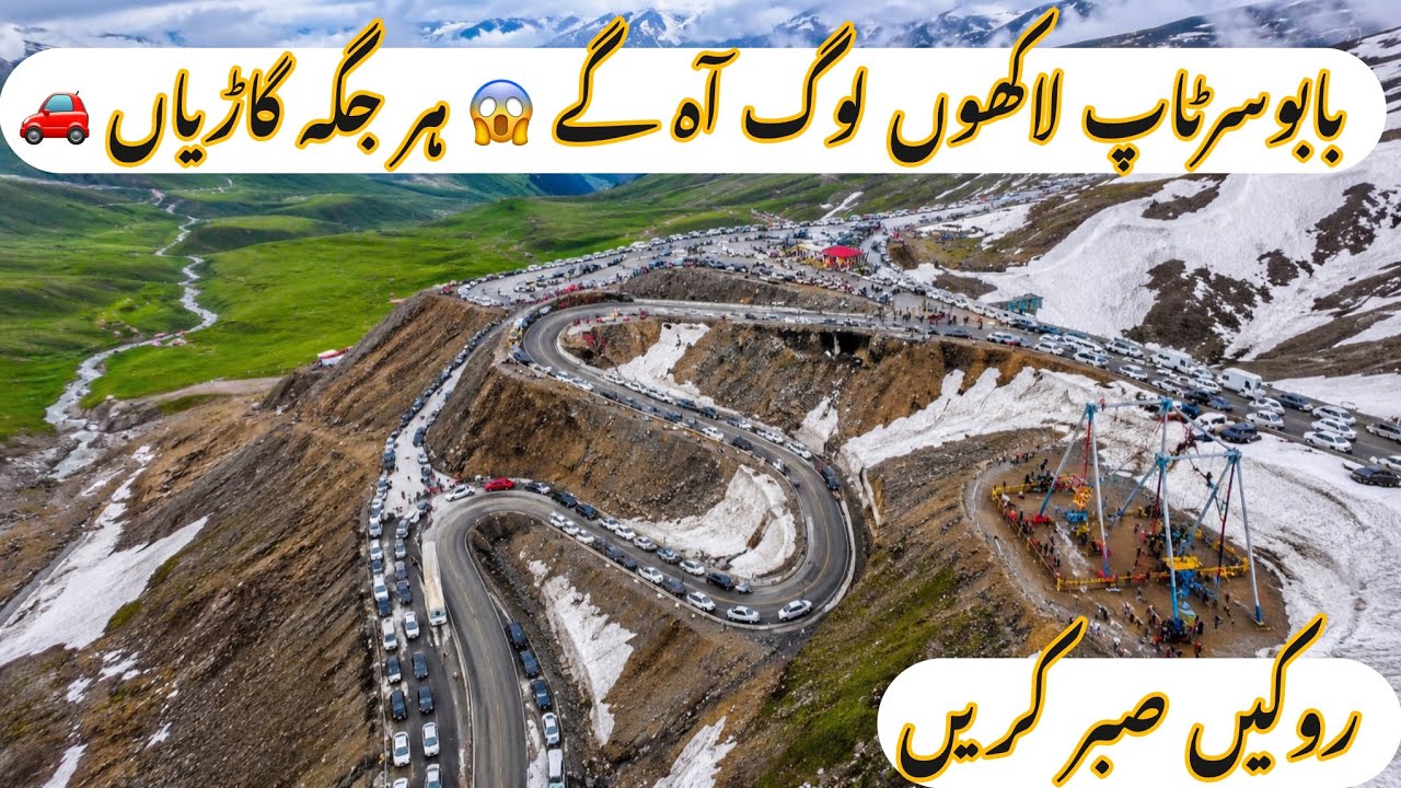
BabusarTop Full Blocked By Cars / Naran Babusar top latest update
Автор: Travel With Hadi
Загружено: 2026-07-18
Просмотров: 8210
Описание:
#BabusarTop#NaranValley#KaghanValley#NorthernPakistan
Babusar Pass (Urdu: درہ بابوسر, romanized: Dara-ē-Bābūsar), also known as Babusar Top, is a mountain pass in northern Pakistan connecting Khyber Pakhtunkhwa with Gilgit-Baltistan. It is located at an altitude of 4,173 metres (13,691 ft) at the northern end of the Kaghan Valley in Mansehra District, connecting it with Chilas in Diamer District through the Karakoram Highway
Babusar Top (Babusar Pass) is a high-altitude mountain pass in Pakistan connecting Khyber Pakhtunkhwa with Gilgit-Baltistan. Situated about 65 kilometers north of Naran, it sits at an elevation of 4,173 meters (13,691 feet) and serves as the highest easily accessible point in the Kaghan Valley
The drive covers about 65 kilometers via the N-15 National Highway and typically takes roughly 1.5 to 2 hours in a standard car. For deeper background, you can read the full Babusar Pass
Повторяем попытку...
Доступные форматы для скачивания:
Скачать видео
-
Информация по загрузке: