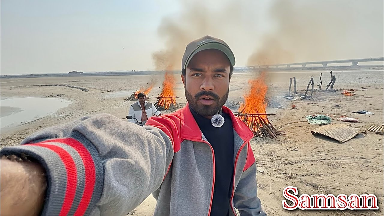
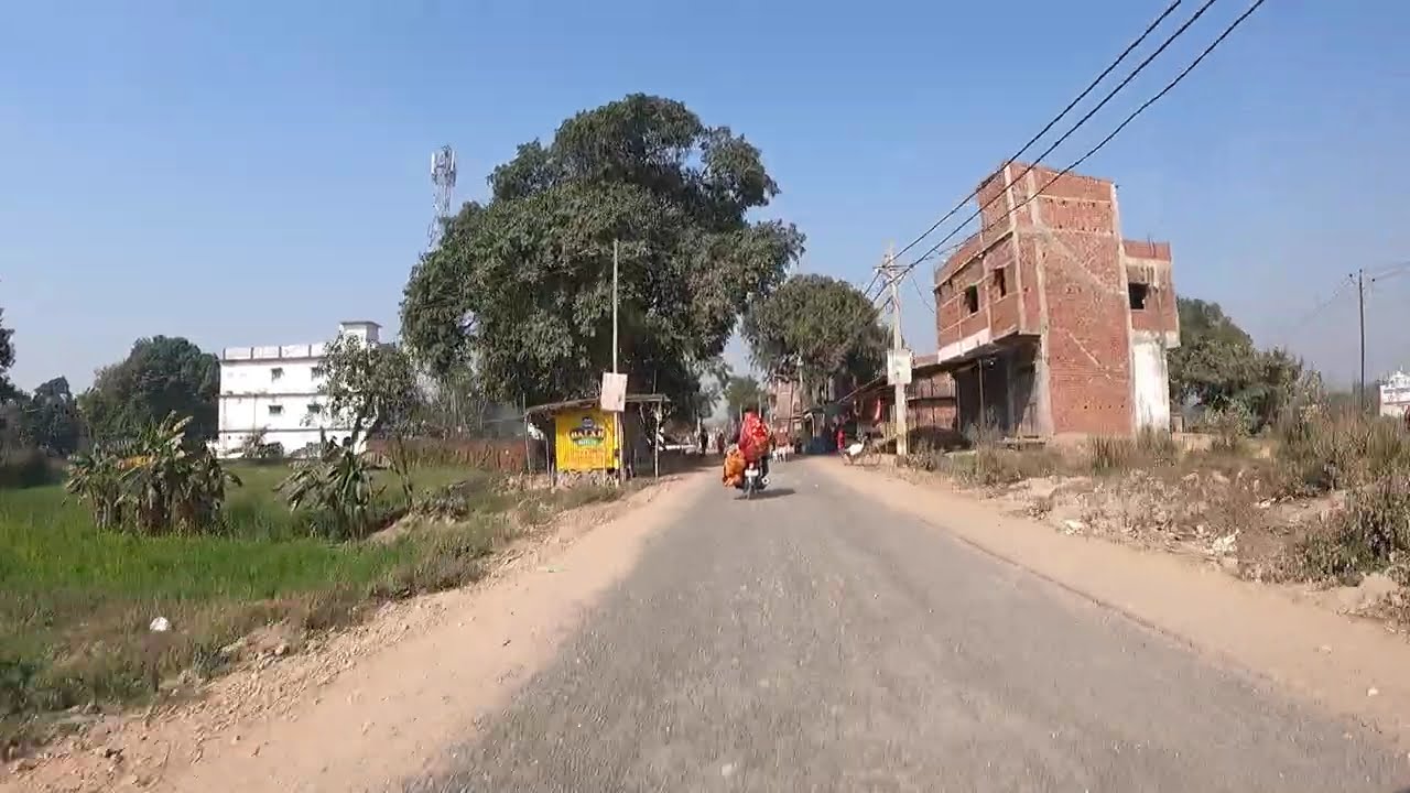
Darauli subdivision of Siwan district in Bihar
Автор: प्यारा इस्लाम
Загружено: 2025-07-14
Просмотров: 2497
Описание:
Daraili is a village located in Darauli subdivision of Siwan district in Bihar, India. It is situated 9km away from sub-district headquarter Darauli (tehsildar office) and 40km away from district headquarter Siwan. As per 2009 stats, Daraili Mathia is the gram panchayat of Daraili village.
Daraili has its own place in the vibrant Siwan region. In the following sections, you’ll find details about population, literacy, households, children, caste data, area, pincode, local governance, nearby villages, connectivity, and more.
https://www.mapsofindia.com/maps/biha...
Here’s a comprehensive overview of *Darauli subdivision* in Siwan district, Bihar:
---
📍 Administrative Profile
**Subdivision**: Darauli is one of two subdivisions within Siwan district (the other being Maharajganj) ([Wikipedia][1], [Maps of India][2]).
**Block**: It comprises a single CD Block—**Darauli Block**, with the headquarters in Darauli town .
---
📐 Geography & Demographics
*Area**: The block spans approximately **94–94.4 km²* ([VillageInfo][3]).
**Population (2011)**: Around **174,357**, entirely rural, with a density of \~1,846 persons/km² ([Village Info][4]).
Males: 87,634
Females: 86,723
*Sex ratio**: Approximately **989 females per 1,000 males* ([Village Info][4]).
*Households**: About **27,111* rural households ([Village Info][4]).
**Literacy**: Approx. **58.3% overall**, with male literacy ≈ 67.2% and female ≈ 49.3% ([panchayats.in][5]).
---
🏘️ Villages & Panchayats
*Villages**: Approximately **98–112 villages* make up the subdivision ([VillageInfo][3]).
*Gram Panchayats**: Some key ones include *Amarpur, Balahun, Belaon, Chakari, Darauli (town panchayat), Kumti Bhitauli, Krishnapali, Sarharwa*, and *Sarna ([Wikipedia][6]).
**Village list**: Includes villages like Agsara, Amarpur, Babhnauli, Bandhai, Basuapur, Belaon, Chakri, Daraili, Darauli, Don Buzurg, Gauri, Karom, Narauli, Sarharwa, Tiyar, in total over 100 ([Siwan Local][7]).
---
🏘️ Darauli Town (Block HQ)
**Area**: \~458 ha (4.58 km²) ([Bharatpedia][8]).
**Population (2011)**: \~10,073 people across \~1,579 households ([Village Info][9]).
Sex ratio: \~941 females per 1,000 males .
Literacy: \~70.98% (male 80.4%, female 61.1%) .
**Children (0–6 yrs)**: \~1,566 (15.6% of pop) ([Village Info][9]).
**SC/ST**: SC population \~1,440; ST \~261 ([Village Info][9]).
Located \~36 km southwest of Siwan town, on the banks of the Ghaghra River; PIN code: *841234* ([Village Info][9]).
---
🗳️ Political Constituency
The area forms part of the *Darauli Assembly constituency* (Reserved for SC since 2010), which includes Darauli, Guthani, and Andar blocks ([Wikipedia][10]).
It falls within **Siwan Lok Sabha constituency**.
Current MLA (2020): *Satyadeo Ram* (CPI‑ML Liberation) ([Wikipedia][10]).
---
👨💼 Administration
*Circle Officer (CO)* in charge: Contact details listed with district admin ([siwan.nic.in][11]).
**Block Development Officer (BDO)**: Shri Chandan Kumar oversees development activities ([siwan.nic.in][12]).
---
✅ Summary
Darauli is a densely populated, rural CD‑block serving as a key administrative and social hub in southwestern Siwan. Centered around Darauli town, it's rich in cultural and political significance, anchored administratively by its Gram Panchayats and elected governance structures.
Let me know if you'd like deeper insight into specific villages, local economy, education, or infrastructure!
[
Повторяем попытку...
Доступные форматы для скачивания:
Скачать видео
-
Информация по загрузке: