Papakōwhai Road Riparian Growth Survey | 6 September 2025 | Aerial Monitoring Update
Автор: Moses Controls
Загружено: 2025-09-08
Просмотров: 9
Описание:
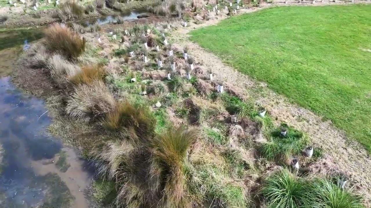
This aerial survey provides a visual update of riparian planting growth and establishment along the Papakōwhai Road stream corridor as at 6 September 2025.
The flyover documents vegetation coverage, planting survival, and early canopy development to support ongoing environmental restoration monitoring and asset management reporting. The visual record assists stakeholders in assessing restoration progress, identifying maintenance priorities, and tracking seasonal change over time.
Captured using drone-based aerial imaging and aligned to the stream corridor, this survey forms part of an ongoing programme of repeatable visual monitoring designed to provide clear, evidence-based insight into riparian restoration outcomes.
Location: Papakōwhai Road Stream Corridor, Porirua, New Zealand
Produced by Graham Moses
Moses Controls Ltd – Drone, GIS & Environmental Visualisation Solutions
Повторяем попытку...

Доступные форматы для скачивания:
Скачать видео
-
Информация по загрузке: