Скачать
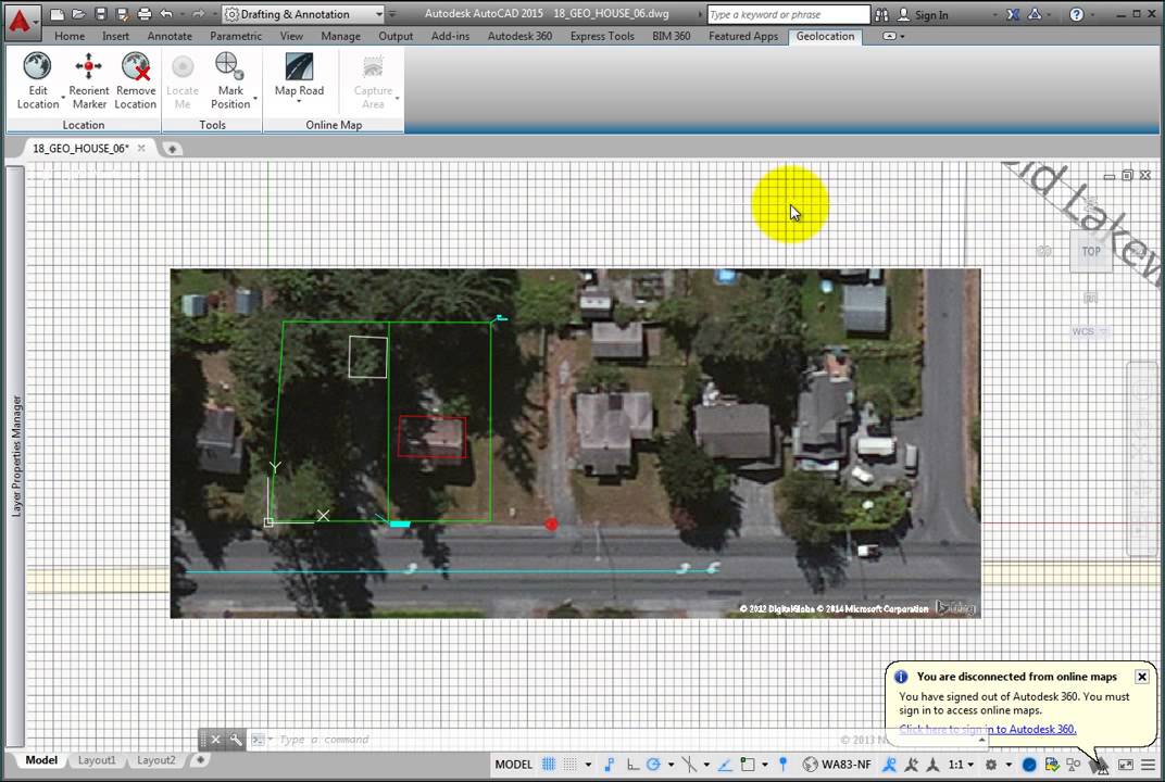
Capturing and Plotting Map Data
Автор: CADLearning (Now Eagle Point Software)
Загружено: 2014-08-04
Просмотров: 20461
Описание:
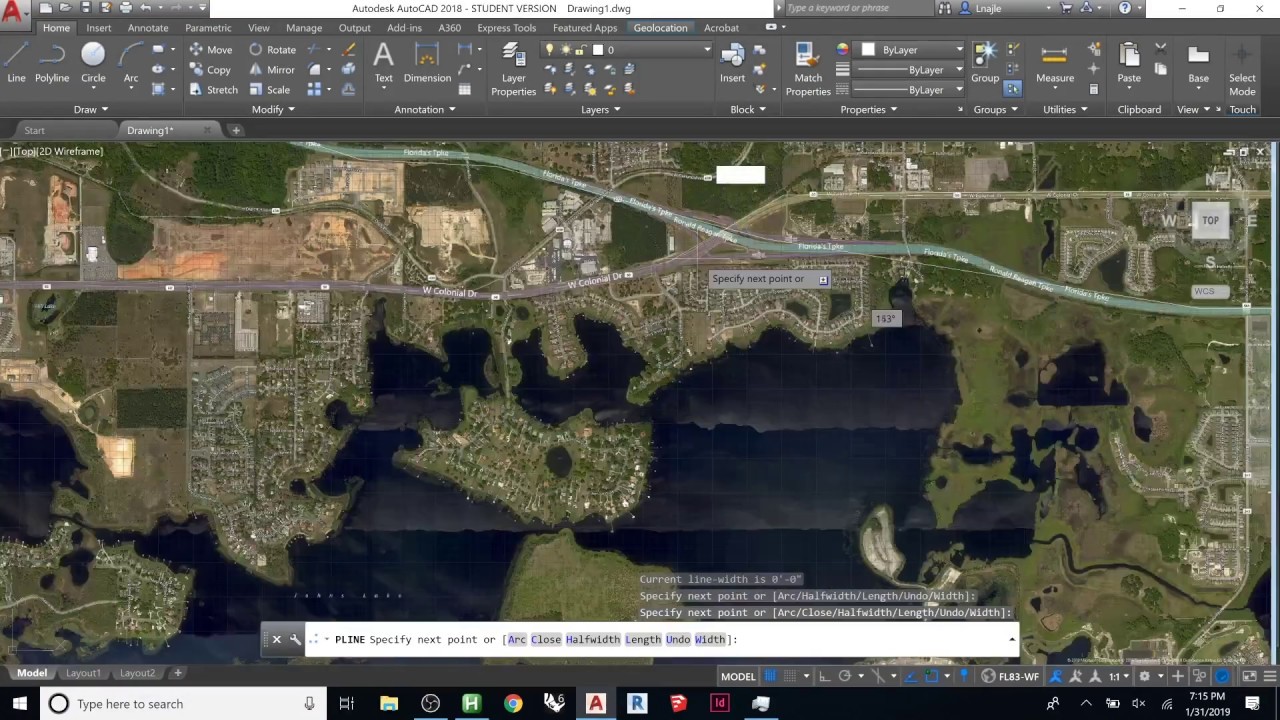
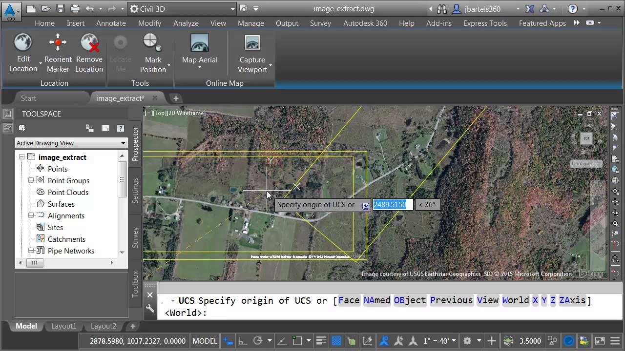
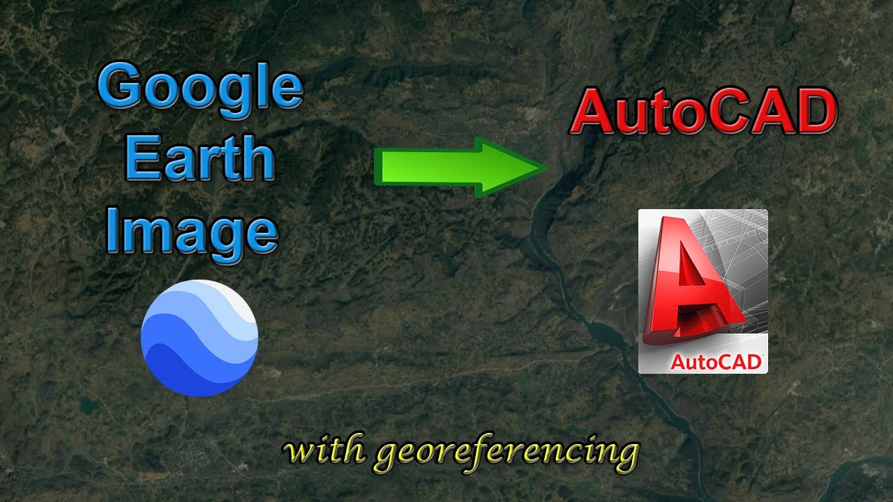
Learn how to capture map data in a drawing and plotting that data in AutoCAD 2015 .
Learn more about our training for AutoCAD at
http://www.cadlearning.com/courses/au...
Не удается загрузить Youtube-плеер. Проверьте блокировку Youtube в вашей сети.
Повторяем попытку...
Повторяем попытку...
Доступные форматы для скачивания:
Скачать видео
-
Информация по загрузке: