ycliper

Популярное

Музыка Кино и Анимация Автомобили Животные Спорт Путешествия Игры Юмор

Интересные видео

2025 Сериалы Трейлеры Новости Как сделать Видеоуроки Diy своими руками

Топ запросов

смотреть а4 schoolboy runaway турецкий сериал смотреть мультфильмы эдисон
Скачать

Applied Remote Sensing for Mining and Reclamation – Platforms, Sensors, and Analytics

Автор: Mines - Mining Engineering Department

Загружено: 2020-10-14

Просмотров: 1783

Описание: Speaker: Ms. Carrie Middleton, Remote Sensing Scientist, OSMRE Western Region GIS Branch

About the Talk:
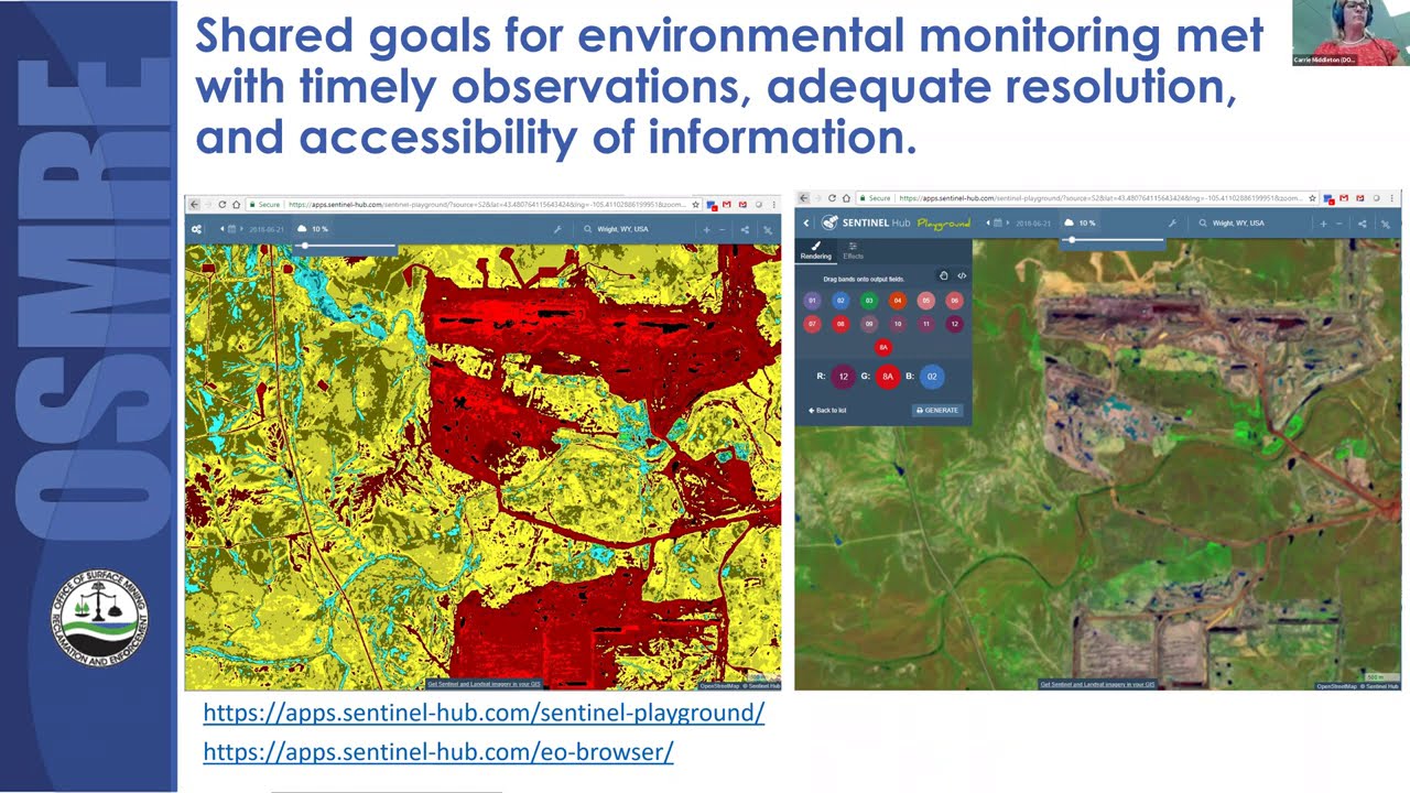
Remote Sensing (RS) Earth observations as an inspection and landscape characterization tool has experienced rapid demand, due the COVID-19 pandemic impacting in-person inspections. In this talk learn about RS and how it is applied at the Department of the Interior’s Office of Surface Mining Reclamation and Enforcement (OSMRE) for monitoring active, inactive, and abandoned mine lands in the USA. The platforms, sensors, and analytics used by the OSMRE Western Region are presented. Specific case examples are given for active mines and for reclamation areas, where commercial and public-sector RS capabilities are used. Public resources for exploring remote sensing in more detail will be highlighted. Attendees will learn how to do an animation of a series of ESA Copernicus Sentinel 2 images for their own area of interest using the web application, EOBrowser.

About the Speaker:
Ms. Carrie Middleton is a remote sensing scientist for the OSMRE Western Region GIS Branch since 2016. Ms. Middleton uses spaceborne, airborne, unmanned aerial systems, and terrestrial/ground-based observations to monitor active, inactive, and abandoned mine lands in the United States. She was a credentialed enforcement official for the US Environmental
Protection Agency (EPA) Office of Criminal Enforcement, Forensics, and Training for 19 years. She help developed Interpol’s Pollution Crimes Investigations Manual chapters related to mapping and evidence collection. For more than 20 years, she developed and led outreach activities to provide hands-on science experiences for disadvantaged communities. She has a MS in Applied Chemistry from the Colorado School of Mines.

For any additional questions about the CSM Mining Seminar contact [email protected]

Не удается загрузить Youtube-плеер. Проверьте блокировку Youtube в вашей сети.
Повторяем попытку...
Applied Remote Sensing for Mining and Reclamation – Platforms, Sensors, and Analytics

Поделиться в:

Доступные форматы для скачивания:

Скачать видео

  • Информация по загрузке:

Скачать аудио

Похожие видео

GSQ/UQ Webinar - Advances in Remote Sensing

GSQ/UQ Webinar - Advances in Remote Sensing

Use Cases (and Jobs) Being Disrupted with Advancesin Technology* in the Mining Industry

Use Cases (and Jobs) Being Disrupted with Advancesin Technology* in the Mining Industry

Tailings Dewatering Technologies

Tailings Dewatering Technologies

What Will Mining Look Like in 2040?

What Will Mining Look Like in 2040?

Positive Mood Jazz ☕ Cozy Winter Coffee Jazz Music and Sweet Bossa Nova Piano for Energy the day

Positive Mood Jazz ☕ Cozy Winter Coffee Jazz Music and Sweet Bossa Nova Piano for Energy the day

The Digital Globe - How Earth observation changed our world | Full Documentary

The Digital Globe - How Earth observation changed our world | Full Documentary

Как Америка стала великой

Как Америка стала великой

An Approach for Near Real-Time Mining Alert System using Sentinel-1

An Approach for Near Real-Time Mining Alert System using Sentinel-1

Planning and Forecasting Analytics

Planning and Forecasting Analytics

Conversation with Elon Musk | World Economic Forum Annual Meeting 2026

Conversation with Elon Musk | World Economic Forum Annual Meeting 2026

Strategic Optimization of the Underground Mine Plan

Strategic Optimization of the Underground Mine Plan

Optimized Hydrologic Models Aid Forecasts and Projections for Improved Decision-Making

Optimized Hydrologic Models Aid Forecasts and Projections for Improved Decision-Making

Рабочая музыка для глубокой концентрации и сверхэффективности

Рабочая музыка для глубокой концентрации и сверхэффективности

Dr. Marc Elmouttie: CSIRO Australia Mining Technologies Research | Sept. 10, 2025

Dr. Marc Elmouttie: CSIRO Australia Mining Technologies Research | Sept. 10, 2025

We're in this together - advancing the management of tailings and mine waste

We're in this together - advancing the management of tailings and mine waste

How to Identify Potential Gold Mineral areas using remote sensing in Google Earth Engine? Iron oxide

How to Identify Potential Gold Mineral areas using remote sensing in Google Earth Engine? Iron oxide

Using AI to Locate Critical Mineral Resources

Using AI to Locate Critical Mineral Resources

Mining Engineering Graduate Students Rapid Presentations

Mining Engineering Graduate Students Rapid Presentations

Гренландия, Трамп, Канада и Макрон  | Что происходит в Давосе (English subtitles)

Гренландия, Трамп, Канада и Макрон | Что происходит в Давосе (English subtitles)

M-33. Applications of Remote Sensing and GIS in Mineral Resources

M-33. Applications of Remote Sensing and GIS in Mineral Resources

© 2025 ycliper. Все права защищены.


  • Контакты
  • О нас
  • Политика конфиденциальности


Контакты для правообладателей: [email protected]