Ruhundu Road design sur Ile d'IDJWI with Civil 3D and Infraworks
Автор: BIM DRCONGO
Загружено: 2021-01-31
Просмотров: 720
Описание:
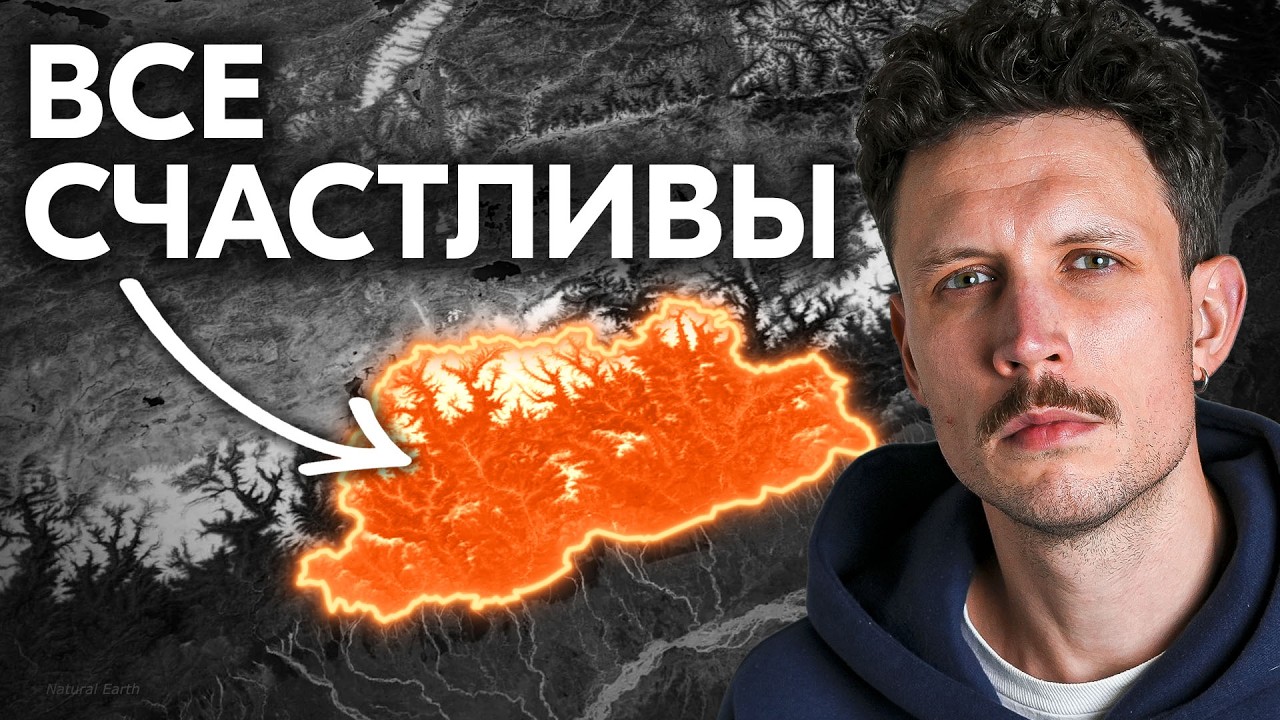
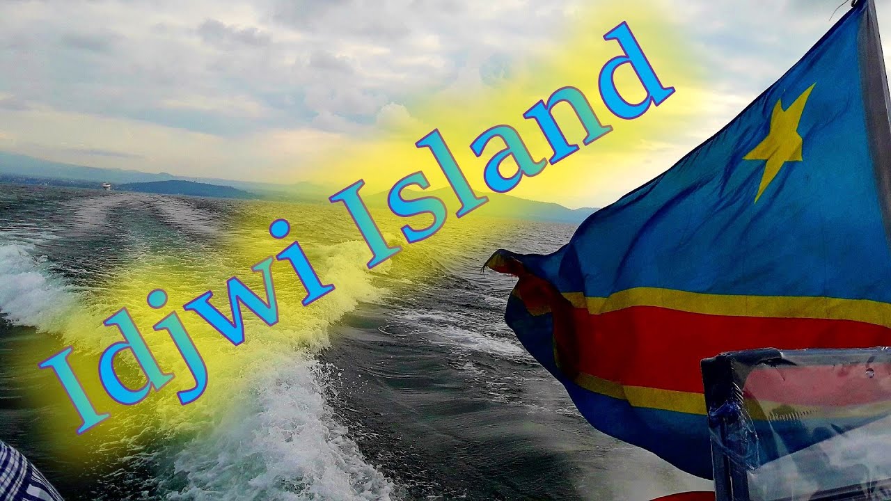
Idjwi, or Ijwi, is an inland island in Lake Kivu which forms part of South Kivu Province in the Democratic Republic of the Congo. At 70 km (43 mi) in length and with an area of 340 km2 (131 sq mi), it is the second-largest lake island in Africa and the tenth largest in the world.[a] Idjwi is roughly equidistant between the Congo and Rwanda, with 10 to 15 kilometers (6 to 9 mi) separating its western shore from the DRC mainland and a similar distance between its eastern shore and the coastline of Rwanda.
Historically a clan-based Bahavu society, Idjwi island became a kingdom in the late 18th century (roughly between 1780 and 1840).
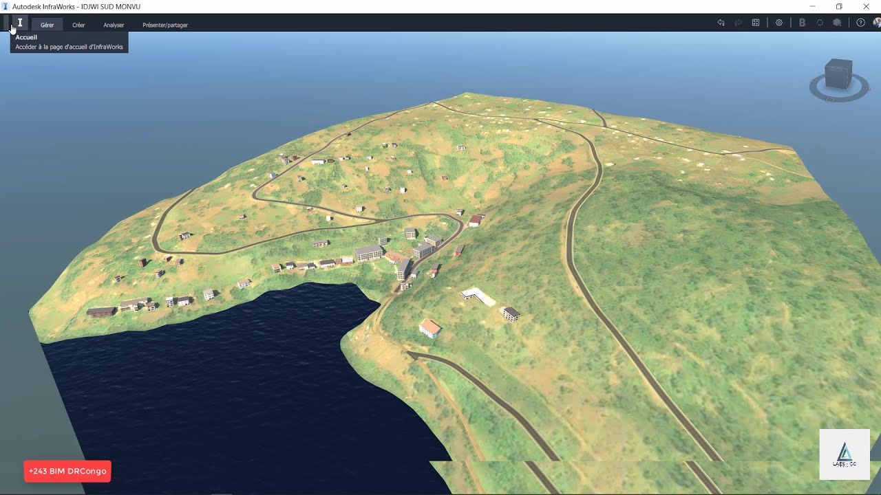
In 2013, the island was estimated to have a population of 252,000. This is a massive increase from the estimated population of 50,000 in 1983. Malnutrition is common, especially among children, and almost all of the population is dependent on subsistence agriculture, breeding and peach, i was there for just 2 weekend because this beautiful island is magic, but he has much difficult for her economical and industrial and social development, there is a lack of many importants things as :adequate infrastructures,(no comfortable roads, public building, communication and transportation his one of the major problem who block the emergency of the island, so i was there and i was very hurting by what i saw there, on the whole of the island there one great general hospital so because there is non comfortable infrastructures, no road, all road have been created manual by the population so in the interior of the island i didn't saw any public transports vehicle, the only transportation that work in this island is a Moto but is very expensive, and when some one is very sick the people leave more kilometers in foot to transported the sick from the fare village to great general hospital, so for the most case they dead before to arrive at the Hospital, cause to adequate infrastructures in inner of the inslant, so i this video i try to show how Autodesk BIM infrastructure applications can help engineers to design better and collected more data for the improving of the project and enable communications between différents teams who can collaborate on the entire project, it not a really a project, but it proposal design as a civil engineer i can give to resolve this major issues, and in the introduction of the video o speak little bit about the SCAN TO BIM for the accuracy preliminary design once in the future the conglobes government decide to design and build this road because is very strategical, i was focused on surveyors and engineers to show them how much Infraworks, Civil 3D and BIM 360 ,RECAPRO are the best combinations application to design better and intelligently,
you need to contact us : laesgcengineering@gmail;com,[email protected]
if you need to know more about us please click on the link bellow
https://laesgc.com/
Повторяем попытку...
Доступные форматы для скачивания:
Скачать видео
-
Информация по загрузке: